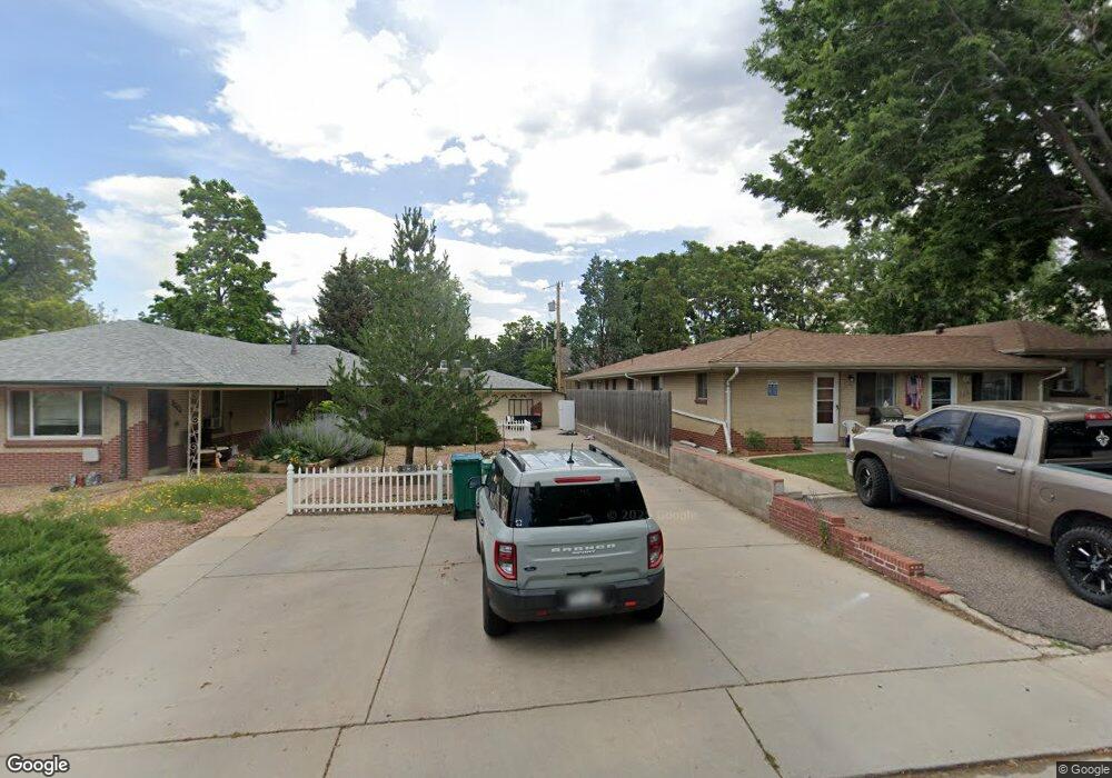
4732 Quay St Wheat Ridge, CO 80033
Barths NeighborhoodEstimated Value: $525,000 - $626,940
3
Beds
2
Baths
1,639
Sq Ft
$356/Sq Ft
Est. Value
About This Home
This home is located at 4732 Quay St, Wheat Ridge, CO 80033 and is currently estimated at $583,985, approximately $356 per square foot. 4732 Quay St is a home located in Jefferson County with nearby schools including Stevens Elementary School, Everitt Middle School, and Wheat Ridge High School.
Ownership History
Date
Name
Owned For
Owner Type
Purchase Details
Closed on
Sep 8, 2017
Sold by
The Hubbard Family Trust
Bought by
Green Richard L and Green Sondra L
Current Estimated Value
Home Financials for this Owner
Home Financials are based on the most recent Mortgage that was taken out on this home.
Original Mortgage
$226,000
Outstanding Balance
$188,827
Interest Rate
3.92%
Mortgage Type
New Conventional
Estimated Equity
$395,158
Purchase Details
Closed on
Nov 11, 2005
Sold by
Hubbard John E
Bought by
The Hubbard Family Trust
Purchase Details
Closed on
Apr 30, 2003
Sold by
Mccready Gaynel M
Bought by
Hubbard John E
Home Financials for this Owner
Home Financials are based on the most recent Mortgage that was taken out on this home.
Original Mortgage
$100,000
Interest Rate
5.8%
Create a Home Valuation Report for This Property
The Home Valuation Report is an in-depth analysis detailing your home's value as well as a comparison with similar homes in the area
Home Values in the Area
Average Home Value in this Area
Purchase History
| Date | Buyer | Sale Price | Title Company |
|---|---|---|---|
| Green Richard L | $300,000 | First American Title | |
| The Hubbard Family Trust | -- | -- | |
| Hubbard John E | $299,900 | Land Title |
Source: Public Records
Mortgage History
| Date | Status | Borrower | Loan Amount |
|---|---|---|---|
| Open | Green Richard L | $226,000 | |
| Previous Owner | Hubbard John E | $100,000 |
Source: Public Records
Tax History Compared to Growth
Tax History
| Year | Tax Paid | Tax Assessment Tax Assessment Total Assessment is a certain percentage of the fair market value that is determined by local assessors to be the total taxable value of land and additions on the property. | Land | Improvement |
|---|---|---|---|---|
| 2024 | $3,380 | $38,659 | $15,845 | $22,814 |
| 2023 | $3,380 | $38,659 | $15,845 | $22,814 |
| 2022 | $2,657 | $29,848 | $15,753 | $14,095 |
| 2021 | $3,007 | $31,385 | $16,564 | $14,821 |
| 2020 | $2,425 | $27,783 | $14,282 | $13,501 |
| 2019 | $2,393 | $27,783 | $14,282 | $13,501 |
| 2018 | $2,246 | $25,204 | $9,613 | $15,591 |
| 2017 | $2,028 | $25,204 | $9,613 | $15,591 |
| 2016 | $1,804 | $20,982 | $6,280 | $14,702 |
| 2015 | $1,537 | $20,982 | $6,280 | $14,702 |
| 2014 | $1,537 | $16,764 | $5,731 | $11,033 |
Source: Public Records
Map
Nearby Homes
- 6920 W 47th Place
- 6920 W 48th Ave Unit 6920
- 4730 Pierce St
- 4730 Otis St
- 4635 Teller St
- 7221 W 48th Ave
- 4541 Reed St
- 4420 Teller St
- 7010 W 44th Ave
- 4711 Wadsworth Blvd
- 6105 W 49th Place
- 4835 Harlan St Unit 14-17
- 6801 W 52nd Ave
- 4125 Pierce St
- 4095 Quay St
- 4026 Upham St
- 4014 Upham St
- 4024 Upham St
- 4295 Harlan St
- 4008 Upham St
- 4744 Quay St
- 4710 Quay St
- 6906 W 48th Ave Unit 6906
- 6904 W 48th Ave Unit 6904
- 6908 W 48th Ave Unit 6908
- 6910 W 48th Ave Unit 6910
- 6912 W 48th Ave Unit 6912
- 6914 W 48th Ave Unit 6914
- 4727 Pierce St
- 4725 Quay St
- 4733 Pierce St
- 6916 W 48th Ave Unit 6916
- 6918 W 48th Ave Unit 6918
- 4715 Quay St
- 4706 Quay St
- 6922 W 48th Ave Unit 6922
- 6924 W 48th Ave Unit 6924
- 6925 W 47th Place
- 4723 Pierce St
- 6926 W 48th Ave Unit 6926