4732 Titus Ln Marsing, ID 83639
Estimated Value: $407,126 - $654,000
3
Beds
1
Bath
2,112
Sq Ft
$247/Sq Ft
Est. Value
About This Home
This home is located at 4732 Titus Ln, Marsing, ID 83639 and is currently estimated at $521,532, approximately $246 per square foot. 4732 Titus Ln is a home with nearby schools including Homedale Elementary School, Homedale Middle School, and Homedale High School.
Ownership History
Date
Name
Owned For
Owner Type
Purchase Details
Closed on
May 20, 2021
Sold by
Neil John and Neil Doris
Bought by
Neil Jeffrey Lee and Neil Crystal Rose
Current Estimated Value
Home Financials for this Owner
Home Financials are based on the most recent Mortgage that was taken out on this home.
Original Mortgage
$85,000
Interest Rate
3%
Mortgage Type
Seller Take Back
Create a Home Valuation Report for This Property
The Home Valuation Report is an in-depth analysis detailing your home's value as well as a comparison with similar homes in the area
Home Values in the Area
Average Home Value in this Area
Purchase History
| Date | Buyer | Sale Price | Title Company |
|---|---|---|---|
| Neil Jeffrey Lee | -- | Accommodation |
Source: Public Records
Mortgage History
| Date | Status | Borrower | Loan Amount |
|---|---|---|---|
| Closed | Neil Jeffrey Lee | $85,000 |
Source: Public Records
Tax History Compared to Growth
Tax History
| Year | Tax Paid | Tax Assessment Tax Assessment Total Assessment is a certain percentage of the fair market value that is determined by local assessors to be the total taxable value of land and additions on the property. | Land | Improvement |
|---|---|---|---|---|
| 2024 | -- | $322,165 | $63,165 | $259,000 |
| 2023 | $1,328 | $356,835 | $63,165 | $293,670 |
| 2022 | $1,592 | $357,025 | $63,165 | $293,860 |
| 2021 | $1,035 | $233,112 | $44,102 | $189,010 |
| 2020 | $883 | $198,185 | $22,834 | $175,351 |
| 2019 | $907 | $168,746 | $22,834 | $145,912 |
| 2018 | $1,041 | $184,350 | $19,029 | $165,321 |
| 2017 | $939 | $171,090 | $19,029 | $152,061 |
| 2016 | $663 | $113,730 | $17,718 | $96,012 |
| 2014 | $828 | $88,935 | $16,645 | $72,290 |
| 2011 | -- | $75,741 | $11,193 | $64,548 |
Source: Public Records
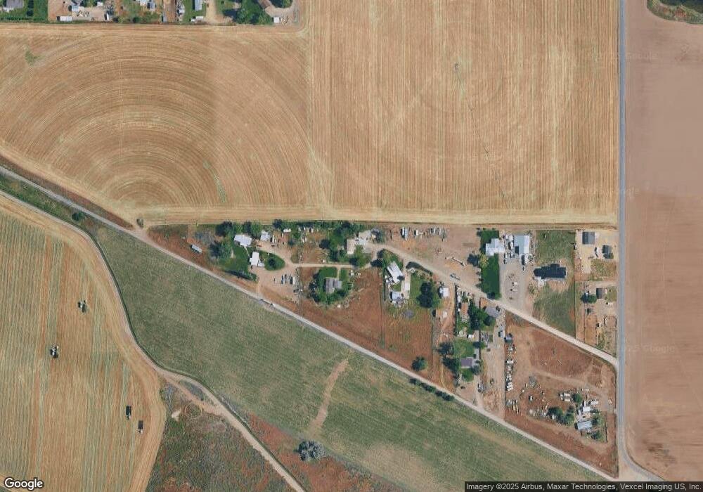
Map
Nearby Homes
- 0 Crystal Ln Unit 24640543
- 0 Crystal Ln Unit 24638374
- TBD Fran Ln
- N Jump Creek Rd
- 4030 River Resort Dr Unit 19
- TBD Jump Creek Rd 100 Ac
- 25555 Clubhouse Ct
- 3959 Elders Ln
- 3432 W Pioneer Rd
- 5405 Hogg Rd
- 13628 Brunello Ct
- 16357 Brunello Ct
- 22455 Hoskins Rd
- 5168 Jump Creek Rd
- 00 van Slyke Rd
- 3697 Watson Ln
- 23824 Garrett Ranch Way
- 3520 U S 95
- 3408 Industrial Rd
- 0 Homedale Rd Unit 98895250
- 4761 Titus Ln
- 4782 Titus Ln
- 4765 Titus Ln
- 4983 Market Rd
- 4993 Market Rd
- 4713 Market Rd
- 4783 Titus Ln
- 4671 Market
- 4228 Market Rd
- 4698 Market Rd
- 4674 Market Rd
- 4650 E Lootens Ln
- 4646 E Lootens Ln
- 4393 Hilltop Ln
- 4612 Market Rd
- 4743 Clapier Ln
- 4301 Hilltop Ln
- 4301 Hilltop Ln
- 4567 Market Rd
- 4703 Clapier Ln