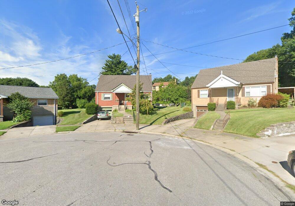
4735 Embrett Ct Cincinnati, OH 45238
West Price Hill NeighborhoodEstimated Value: $175,000 - $245,853
3
Beds
1
Bath
875
Sq Ft
$233/Sq Ft
Est. Value
About This Home
This home is located at 4735 Embrett Ct, Cincinnati, OH 45238 and is currently estimated at $203,463, approximately $232 per square foot. 4735 Embrett Ct is a home located in Hamilton County with nearby schools including Carson School, Gilbert A. Dater High School, and Western Hills High School.
Ownership History
Date
Name
Owned For
Owner Type
Purchase Details
Closed on
Apr 7, 2025
Sold by
Kerby Robert L and Hotchkiss-Kerby Amy
Bought by
Kerby Erich S
Current Estimated Value
Home Financials for this Owner
Home Financials are based on the most recent Mortgage that was taken out on this home.
Original Mortgage
$98,000
Outstanding Balance
$97,574
Interest Rate
6.76%
Mortgage Type
New Conventional
Estimated Equity
$105,889
Purchase Details
Closed on
Jul 20, 2002
Sold by
Plogmann Robert J and Plogmann Elaine A
Bought by
Kerby Robert L and Hotchkiss Kerby Amy
Create a Home Valuation Report for This Property
The Home Valuation Report is an in-depth analysis detailing your home's value as well as a comparison with similar homes in the area
Home Values in the Area
Average Home Value in this Area
Purchase History
| Date | Buyer | Sale Price | Title Company |
|---|---|---|---|
| Kerby Erich S | $165,000 | None Listed On Document | |
| Kerby Erich S | $165,000 | None Listed On Document | |
| Kerby Robert L | $100,000 | -- |
Source: Public Records
Mortgage History
| Date | Status | Borrower | Loan Amount |
|---|---|---|---|
| Open | Kerby Erich S | $98,000 | |
| Closed | Kerby Erich S | $98,000 |
Source: Public Records
Tax History Compared to Growth
Tax History
| Year | Tax Paid | Tax Assessment Tax Assessment Total Assessment is a certain percentage of the fair market value that is determined by local assessors to be the total taxable value of land and additions on the property. | Land | Improvement |
|---|---|---|---|---|
| 2024 | $2,694 | $45,049 | $5,390 | $39,659 |
| 2023 | $2,754 | $45,049 | $5,390 | $39,659 |
| 2022 | $2,089 | $30,622 | $5,390 | $25,232 |
| 2021 | $1,977 | $30,118 | $5,390 | $24,728 |
| 2020 | $2,035 | $30,118 | $5,390 | $24,728 |
| 2019 | $2,022 | $27,381 | $4,900 | $22,481 |
| 2018 | $2,025 | $27,381 | $4,900 | $22,481 |
| 2017 | $1,923 | $27,381 | $4,900 | $22,481 |
| 2016 | $2,041 | $28,655 | $5,390 | $23,265 |
| 2015 | $1,840 | $28,655 | $5,390 | $23,265 |
| 2014 | $1,853 | $28,655 | $5,390 | $23,265 |
| 2013 | $2,142 | $32,561 | $6,125 | $26,436 |
Source: Public Records
Map
Nearby Homes
- 4764 Clevesdale Dr
- 1774 Ashbrook Dr
- 1803 Ashbrook Dr
- 1861 Ashbrook Dr
- 1869 Ashbrook Dr
- 4769 Hardwick Dr
- 4798 Prosperity Place
- 4826 Prosperity Place
- 4885 N Overlook Ave
- 4965 Glenway Ave
- 4934 Relleum Ave
- 1131 Olivia Ln
- 4638 Glenway Ave
- 4910 Ferguson Place
- 5020 Sidney Rd
- 5027 Sidney Rd
- 4925 Shirley Place
- 1225 Amanda Place
- 5009 Relleum Ave
- 1205 Amanda Place
- 4731 Embrett Ct
- 1736 Admiral Ct
- 4734 Embrett Ct
- 1732 Admiral Ct
- 1740 Admiral Ct
- 4725 Embrett Ct
- 4730 Embrett Ct
- 4744 Clevesdale Dr
- 4740 Clevesdale Dr
- 4748 Clevesdale Dr
- 4721 Embrett Ct
- 4736 Clevesdale Dr
- 4724 Embrett Ct
- 1733 Admiral Ct
- 1742 Tuxworth Ave
- 1746 Tuxworth Ave
- 1738 Tuxworth Ave
- 4732 Clevesdale Dr
- 1750 Tuxworth Ave
- 4717 Embrett Ct