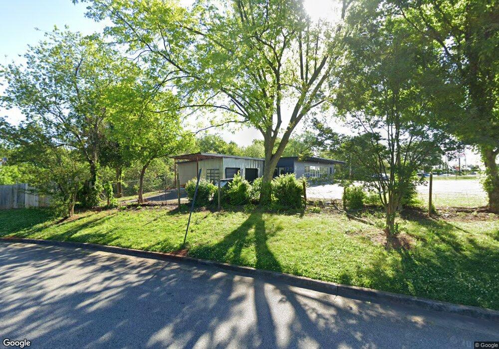
4736 Redan Rd Stone Mountain, GA 30083
Estimated Value: $551,941
--
Bed
--
Bath
4,960
Sq Ft
$111/Sq Ft
Est. Value
About This Home
This home is located at 4736 Redan Rd, Stone Mountain, GA 30083 and is currently priced at $551,941, approximately $111 per square foot. 4736 Redan Rd is a home located in DeKalb County with nearby schools including Allgood Elementary School, Freedom Middle School, and Clarkston High School.
Ownership History
Date
Name
Owned For
Owner Type
Purchase Details
Closed on
Mar 1, 2022
Sold by
Vedcom Inc
Bought by
L07 Redan Road Llc
Current Estimated Value
Home Financials for this Owner
Home Financials are based on the most recent Mortgage that was taken out on this home.
Original Mortgage
$562,500
Outstanding Balance
$170,029
Interest Rate
3.69%
Mortgage Type
Cash
Purchase Details
Closed on
Apr 19, 2019
Sold by
Walker Sidney C
Bought by
Vedcom Inc
Create a Home Valuation Report for This Property
The Home Valuation Report is an in-depth analysis detailing your home's value as well as a comparison with similar homes in the area
Home Values in the Area
Average Home Value in this Area
Purchase History
| Date | Buyer | Sale Price | Title Company |
|---|---|---|---|
| L07 Redan Road Llc | $495,000 | -- | |
| Vedcom Inc | $277,000 | -- |
Source: Public Records
Mortgage History
| Date | Status | Borrower | Loan Amount |
|---|---|---|---|
| Open | L07 Redan Road Llc | $562,500 |
Source: Public Records
Tax History Compared to Growth
Tax History
| Year | Tax Paid | Tax Assessment Tax Assessment Total Assessment is a certain percentage of the fair market value that is determined by local assessors to be the total taxable value of land and additions on the property. | Land | Improvement |
|---|---|---|---|---|
| 2025 | $9,639 | $201,040 | $168,160 | $32,880 |
| 2024 | $5,553 | $110,800 | $88,783 | $22,017 |
| 2023 | $5,553 | $110,800 | $88,783 | $22,017 |
| 2022 | $5,213 | $110,800 | $88,783 | $22,017 |
| 2021 | $4,809 | $119,520 | $97,503 | $22,017 |
| 2020 | $5,213 | $110,800 | $95,288 | $15,512 |
| 2019 | $5,596 | $119,520 | $103,098 | $16,422 |
| 2018 | $3,735 | $119,519 | $103,098 | $16,421 |
| 2017 | $3,720 | $76,422 | $65,723 | $10,699 |
| 2016 | $3,727 | $119,520 | $103,098 | $16,422 |
| 2014 | $3,812 | $76,422 | $65,922 | $10,500 |
Source: Public Records
Map
Nearby Homes
- 4867 Pinnacle Dr
- 4871 Pinnacle Dr
- 1009 Autumn Crest Ct
- 968 Oak Springs Ct
- 1091 To Lani Dr
- 4817 Mainstreet Valley Trace
- 4821 Mainstreet Valley Trace
- 1332 Adcox Square
- 4594 Bexley Dr
- 1323 S Hairston Rd
- 1104 To Lani Farm Rd
- 1139 Mainstreet Valley Dr
- 1337 S Hairston Rd
- 1083 To Lani Farm Rd
- 1219 To Lani Dr
- 885 Granite Springs Ln
- 1276 To Lani Farm Rd
- 1051 Ashton Oak Cir
- 1092 Ashton Oak Cir
- 1043 Ashton Oak Cir
- 4712 Redan Rd
- 1037 Ashton Oak Cir
- 1044 Ashton Oak Cir
- 1029 Ashton Oak Cir
- 1038 Ashton Oak Cir
- 1074 Autumn Crest Dr
- 1021 Ashton Oak Cir
- 1070 Autumn Crest Dr
- 805 Ashton Oak Cir
- 1009 Ashton Oak Cir
- 1030 Ashton Oak Cir
- 1066 Autumn Crest Dr
- 1003 Ashton Oak Cir
- 999 Ashton Oak Cir
- 811 Ashton Oak Cir
- 1062 Autumn Crest Dr Unit 1
- 1024 Ashton Oak Cir