4737 Mccord Cir W Springfield, OH 45503
Estimated Value: $367,000 - $475,000
4
Beds
2
Baths
2,098
Sq Ft
$198/Sq Ft
Est. Value
About This Home
This home is located at 4737 Mccord Cir W, Springfield, OH 45503 and is currently estimated at $415,441, approximately $198 per square foot. 4737 Mccord Cir W is a home with nearby schools including Rolling Hills Elementary School, Northridge Middle School, and Kenton Ridge Middle & High School.
Ownership History
Date
Name
Owned For
Owner Type
Purchase Details
Closed on
Jul 24, 2017
Sold by
Overholser Builders Llc
Bought by
Mowery Matthew T and Mowery Emily R
Current Estimated Value
Home Financials for this Owner
Home Financials are based on the most recent Mortgage that was taken out on this home.
Original Mortgage
$2,625,085
Outstanding Balance
$2,182,200
Interest Rate
3.91%
Mortgage Type
Construction
Estimated Equity
-$1,766,759
Create a Home Valuation Report for This Property
The Home Valuation Report is an in-depth analysis detailing your home's value as well as a comparison with similar homes in the area
Home Values in the Area
Average Home Value in this Area
Purchase History
| Date | Buyer | Sale Price | Title Company |
|---|---|---|---|
| Mowery Matthew T | $49,900 | None Available |
Source: Public Records
Mortgage History
| Date | Status | Borrower | Loan Amount |
|---|---|---|---|
| Open | Mowery Matthew T | $2,625,085 |
Source: Public Records
Tax History Compared to Growth
Tax History
| Year | Tax Paid | Tax Assessment Tax Assessment Total Assessment is a certain percentage of the fair market value that is determined by local assessors to be the total taxable value of land and additions on the property. | Land | Improvement |
|---|---|---|---|---|
| 2024 | $4,837 | $111,850 | $18,700 | $93,150 |
| 2023 | $4,837 | $111,850 | $18,700 | $93,150 |
| 2022 | $2,404 | $111,850 | $18,700 | $93,150 |
| 2021 | $4,805 | $93,790 | $14,610 | $79,180 |
| 2020 | $4,809 | $93,790 | $14,610 | $79,180 |
| 2019 | $4,900 | $93,790 | $14,610 | $79,180 |
| 2018 | $1,544 | $28,350 | $11,110 | $17,240 |
| 2017 | $402 | $8,568 | $8,568 | $0 |
| 2016 | $399 | $8,568 | $8,568 | $0 |
Source: Public Records
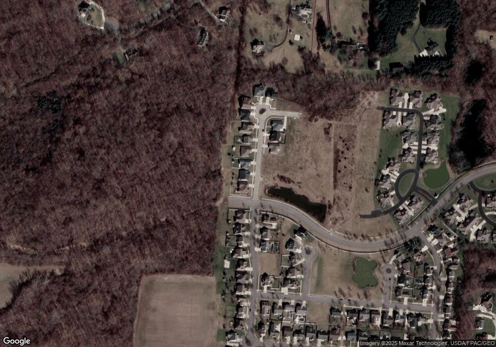
Map
Nearby Homes
- 593 Hiser Ave
- 794 Donnelly Ave
- 4514 Dowden St
- 916 Sawmill Ct
- 880 Brendle Trace Unit 28
- 970 Forest Edge Ave
- 4712 Cullen Ave
- 4109 Derr Rd
- 4622 W Ridgewood Rd
- 1139 Greenoak Ct
- 1461 Student Ave
- 5127 Stoneridge Dr
- 4446 Ridgewood Rd E Unit 3
- 5249 Taywell Dr
- 4512 Ridgewood Rd E
- 1162 Kingsgate Rd
- 4740 Merrimont Ave
- 4743 Mccord Cir W
- 4731 Mccord Cir W
- 4749 Mccord Cir W
- 4755 Mccord Cir W
- 4752 Mccord St
- 4752 Mccord Cir W
- 4691 Mccord St
- 4761 Mccord Cir W
- 4758 Mccord Cir W
- 4686 Mccord St
- 4673 Mccord St
- 4767 Mccord Cir W
- 4788 Mccord Cir N
- 4668 Mccord St
- 4655 Mccord St
- 4773 Mccord Cir N
- 4652 Mccord St
- 4637 Mccord St
- 4651 Antrim Ln
- 4630 Mccord St