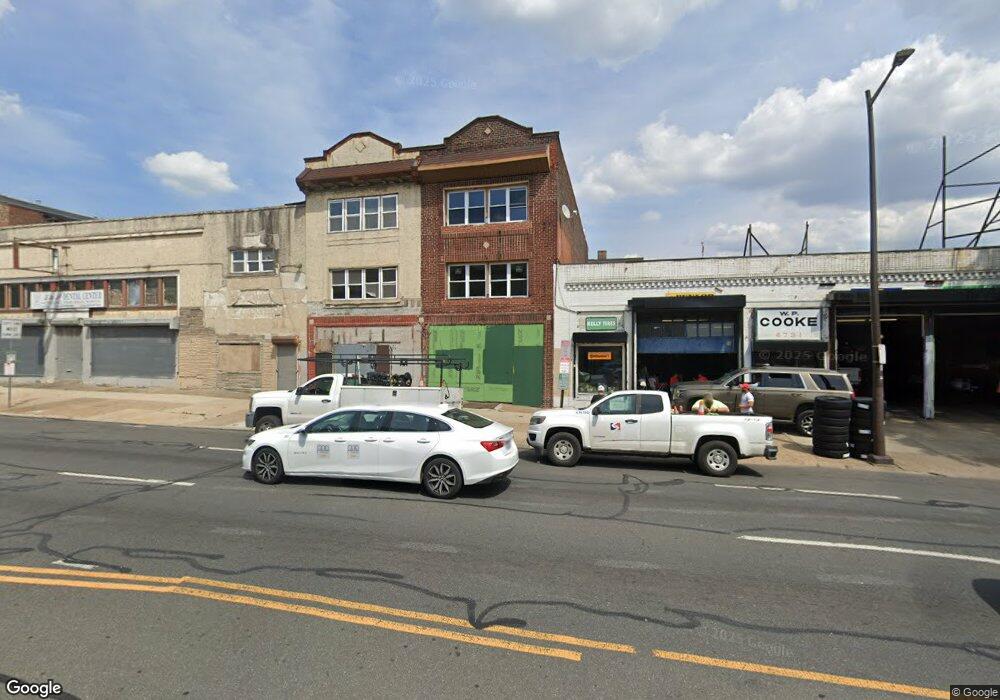
4737 N Broad St Unit GROUND Philadelphia, PA 19141
Logan Neighborhood
--
Bed
--
Bath
3,012
Sq Ft
1,307
Sq Ft Lot
About This Home
This home is located at 4737 N Broad St Unit GROUND, Philadelphia, PA 19141. 4737 N Broad St Unit GROUND is a home located in Philadelphia County with nearby schools including Cooke Jay Middle School, Birney Preparatory Academy, and Mastery Schools Gratz (Prep) Middle.
Ownership History
Date
Name
Owned For
Owner Type
Purchase Details
Closed on
May 10, 2023
Sold by
Louissaint Wilner
Bought by
Scutts Contractors Llc
Home Financials for this Owner
Home Financials are based on the most recent Mortgage that was taken out on this home.
Original Mortgage
$468,811
Outstanding Balance
$455,488
Interest Rate
6.27%
Mortgage Type
New Conventional
Purchase Details
Closed on
Sep 17, 1990
Bought by
Louissaint Wilner and Charles Jean Rene
Create a Home Valuation Report for This Property
The Home Valuation Report is an in-depth analysis detailing your home's value as well as a comparison with similar homes in the area
Home Values in the Area
Average Home Value in this Area
Purchase History
| Date | Buyer | Sale Price | Title Company |
|---|---|---|---|
| Scutts Contractors Llc | $315,000 | None Listed On Document | |
| Louissaint Wilner | $27,000 | -- |
Source: Public Records
Mortgage History
| Date | Status | Borrower | Loan Amount |
|---|---|---|---|
| Open | Scutts Contractors Llc | $468,811 |
Source: Public Records
Tax History Compared to Growth
Tax History
| Year | Tax Paid | Tax Assessment Tax Assessment Total Assessment is a certain percentage of the fair market value that is determined by local assessors to be the total taxable value of land and additions on the property. | Land | Improvement |
|---|---|---|---|---|
| 2025 | $2,168 | $143,000 | $28,600 | $114,400 |
| 2024 | $2,168 | $143,000 | $28,600 | $114,400 |
| 2023 | $2,168 | $154,900 | $30,980 | $123,920 |
| 2022 | $1,502 | $109,900 | $30,980 | $78,920 |
| 2021 | $2,132 | $0 | $0 | $0 |
| 2020 | $2,132 | $0 | $0 | $0 |
| 2019 | $2,111 | $0 | $0 | $0 |
| 2018 | $2,051 | $0 | $0 | $0 |
| 2017 | $2,319 | $0 | $0 | $0 |
| 2016 | $2,319 | $0 | $0 | $0 |
| 2015 | $2,220 | $0 | $0 | $0 |
| 2014 | -- | $165,700 | $27,700 | $138,000 |
| 2012 | -- | $10,880 | $4,289 | $6,591 |
Source: Public Records
Map
Nearby Homes
- 4814 N Broad St
- 4819 Old York Rd
- 1521 Belfield Ave
- 1223 W Wyoming Ave
- 1426 W Rockland St
- 1218 W Wyoming Ave
- 4746 N 12th St
- 4828 N Sydenham St
- 1525 W Wyoming Ave
- 4542 N Broad St
- 4605 N 13th St
- 4935 Old York Rd
- 4526 Old York Rd
- 4611 N Camac St
- 4555 N 15th St
- 4919 N 13th St
- 4642 N Marvine St
- 4525 Old York Rd
- 4628 N Marvine St
- 1499 Windrim Ave
- 4737 N Broad St
- 4736 Old York Rd
- 4739 N Broad St
- 4739-51 N Broad Street 51
- 4738 Old York Rd
- 4729 N Broad St
- 4751 N Broad St
- 4718 Old York Rd
- 4716 Old York Rd
- 4714 Old York Rd
- 4713 N Broad St Unit BASEMENT
- 4713 N Broad St
- 4748 N Broad St
- 4732-42 N Broad St
- 4750-52 N Broad St
- 4750 N Broad St
- 4752 N Broad St
- 4719 Old York Rd
- 4717 Old York Rd
- 4715 Old York Rd