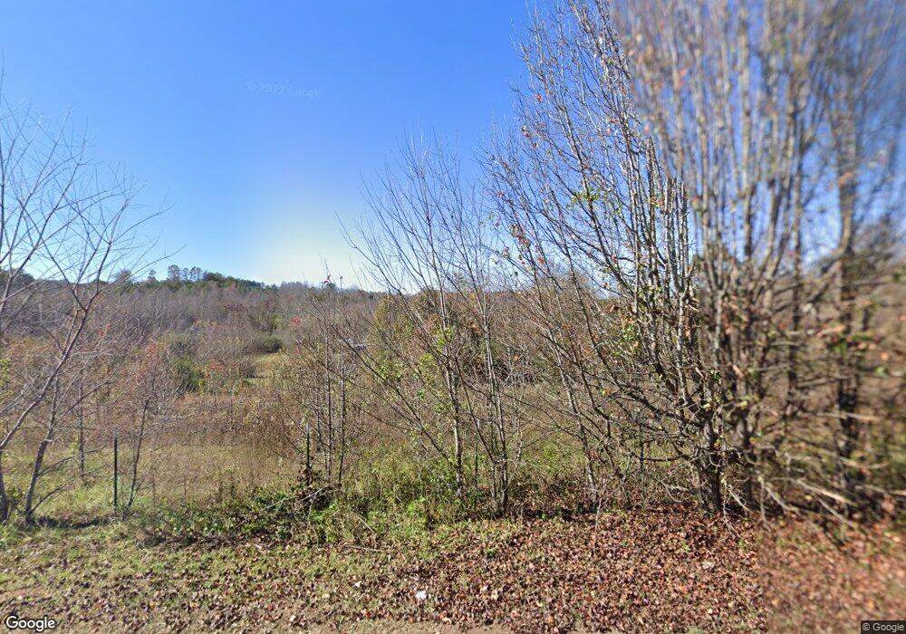
4738 Tallent Rd Morganton, NC 28655
Estimated Value: $305,000 - $485,000
2
Beds
2
Baths
2,655
Sq Ft
$153/Sq Ft
Est. Value
About This Home
This home is located at 4738 Tallent Rd, Morganton, NC 28655 and is currently estimated at $404,983, approximately $152 per square foot. 4738 Tallent Rd is a home located in Burke County with nearby schools including Glen Alpine Elementary School, Table Rock Middle School, and Freedom High School.
Ownership History
Date
Name
Owned For
Owner Type
Purchase Details
Closed on
Jul 3, 2025
Sold by
Rudisill Anne E and King Anne
Bought by
Ambrocio Ubaldo Guardian
Current Estimated Value
Purchase Details
Closed on
Jun 13, 2013
Sold by
Rudisill Harold D and Rudisill Anne E
Bought by
Rudisill Anne E
Create a Home Valuation Report for This Property
The Home Valuation Report is an in-depth analysis detailing your home's value as well as a comparison with similar homes in the area
Home Values in the Area
Average Home Value in this Area
Purchase History
| Date | Buyer | Sale Price | Title Company |
|---|---|---|---|
| Ambrocio Ubaldo Guardian | $92,500 | None Listed On Document | |
| Brooks Kenneth | $104,000 | None Listed On Document | |
| Rudisill Anne E | -- | None Available | |
| Rudisill Harold D | -- | None Available |
Source: Public Records
Tax History
| Year | Tax Paid | Tax Assessment Tax Assessment Total Assessment is a certain percentage of the fair market value that is determined by local assessors to be the total taxable value of land and additions on the property. | Land | Improvement |
|---|---|---|---|---|
| 2025 | $1,399 | $297,348 | $110,453 | $186,895 |
| 2024 | $1,409 | $297,348 | $110,453 | $186,895 |
| 2023 | $1,409 | $297,348 | $110,453 | $186,895 |
| 2022 | $1,279 | $210,890 | $92,044 | $118,846 |
| 2021 | $1,276 | $210,890 | $92,044 | $118,846 |
| 2020 | $1,274 | $210,890 | $92,044 | $118,846 |
| 2019 | $1,274 | $210,890 | $92,044 | $118,846 |
| 2018 | $1,265 | $211,668 | $92,044 | $119,624 |
| 2017 | $1,264 | $211,668 | $92,044 | $119,624 |
| 2016 | $1,384 | $230,275 | $92,044 | $138,231 |
| 2015 | $1,874 | $226,867 | $92,044 | $134,823 |
Source: Public Records
Map
Nearby Homes
- 4188 Tallent Rd
- 4148 Tallent Rd
- 3613 Jamestown Rd
- 5264 Matthews Pond Rd
- 4815 Mount Olive Church Rd
- 0 Pinnacle Church Rd Unit CAR4328221
- 5235 Mount Olive Church Rd
- 5251 Mount Olive Church Rd
- 0 Elk Ct Unit 26
- 0 Elk Ct Unit 27 CAR4005593
- 3903 Dysartsville Rd
- 1664 Muddy Creek Rd Unit 1597
- 4796 Nursery Rd
- 2130 South Dr Unit Lot 34
- 20 Forest Ridge Dr Unit 3-C
- 4655 Mcalpine Ave
- 4204 Bennett Rd Unit 4206
- 4184 Maple Trail
- 2705 US 70 W
- 4555 Bristol Dr
- 4714 Tallent Rd Unit 3
- 4698 Tallent Rd
- 4699 Tallent Rd
- 00 Tallent Rd Lot Unit WP00A
- 00 Tallent Rd Lot Unit WP00B
- 4599 Tallent Rd
- 5300 Morning Star Church Rd
- 4654 Tallent Rd
- 4610 Tallent Rd
- 4800 Andy Williams St
- 5211 Morning Star Church Rd
- 4834 Andy Williams St
- 0 Andy Williams St
- 4848 Andy Williams St
- 5240 Snider Ridge
- 00 E Pine Hill Ave Unit 15-34
- 4511 Tallent Rd
- 5005 Caseys Ranch Rd
- 5210 Snider Ridge
- 4818 Cedar Pine Ave
