Estimated Value: $365,000 - $863,000
3
Beds
2
Baths
1,420
Sq Ft
$435/Sq Ft
Est. Value
About This Home
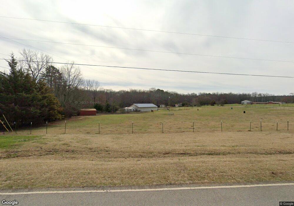
This home is located at 474 Adams Duncan Rd, Hull, GA 30646 and is currently estimated at $617,881, approximately $435 per square foot. 474 Adams Duncan Rd is a home located in Madison County with nearby schools including Madison County High School and Union Christian Academy.
Ownership History
Date
Name
Owned For
Owner Type
Purchase Details
Closed on
Apr 4, 2014
Sold by
Parks Bobby B
Bought by
Berryman Mitchell Carey
Current Estimated Value
Home Financials for this Owner
Home Financials are based on the most recent Mortgage that was taken out on this home.
Original Mortgage
$275,000
Outstanding Balance
$208,973
Interest Rate
4.33%
Mortgage Type
New Conventional
Estimated Equity
$408,908
Purchase Details
Closed on
Apr 29, 2009
Sold by
Parks Doris
Bought by
Parks Bobby B
Purchase Details
Closed on
Jan 1, 1979
Bought by
Parks Bobby B and Parks Dori
Create a Home Valuation Report for This Property
The Home Valuation Report is an in-depth analysis detailing your home's value as well as a comparison with similar homes in the area
Home Values in the Area
Average Home Value in this Area
Purchase History
| Date | Buyer | Sale Price | Title Company |
|---|---|---|---|
| Berryman Mitchell Carey | $300,000 | -- | |
| Parks Bobby B | -- | -- | |
| Parks Bobby B | -- | -- |
Source: Public Records
Mortgage History
| Date | Status | Borrower | Loan Amount |
|---|---|---|---|
| Open | Berryman Mitchell Carey | $275,000 |
Source: Public Records
Tax History Compared to Growth
Tax History
| Year | Tax Paid | Tax Assessment Tax Assessment Total Assessment is a certain percentage of the fair market value that is determined by local assessors to be the total taxable value of land and additions on the property. | Land | Improvement |
|---|---|---|---|---|
| 2024 | $3,256 | $190,512 | $89,667 | $100,845 |
| 2023 | $5,135 | $168,224 | $74,723 | $93,501 |
| 2022 | $2,769 | $136,669 | $51,373 | $85,296 |
| 2021 | $2,614 | $122,048 | $51,372 | $70,676 |
| 2020 | $2,636 | $114,576 | $43,901 | $70,675 |
| 2019 | $2,630 | $113,514 | $43,901 | $69,613 |
| 2018 | $2,541 | $109,451 | $40,164 | $69,287 |
| 2017 | $3,055 | $106,111 | $37,361 | $68,750 |
| 2016 | $2,050 | $95,734 | $37,361 | $58,373 |
| 2015 | $2,047 | $95,734 | $37,361 | $58,373 |
| 2014 | $2,043 | $93,162 | $34,614 | $58,548 |
| 2013 | -- | $93,162 | $34,614 | $58,548 |
Source: Public Records
Map
Nearby Homes
- 135 Adams Duncan Rd
- 905 Adams Duncan Rd
- 1246 Stone Stewart Rd
- 166 Oak Cir
- 832 Stone Stewart Rd
- 0 Stone Stewart Rd Unit 7519457
- 0 Stone Stewart Rd Unit 10452697
- 0 Stone Stewart Rd Unit 1023553
- 260 Oak Cir
- 1097 Garnett Ward Rd Unit 1
- 1067 Garnett Ward Rd Unit 2
- 1061 Garnett Ward Rd Unit 3
- 1045 Garnett Ward Rd Unit 4
- 465 Stone Creek Dr
- 124 E Piedmont Park
- 25 Williams Wilson Rd
- 6716 U S 29
- 110 Williams Wilson Rd
- 103 Three Rivers Ct
- 431 Adams Duncan Rd
- 699 Adams Duncan Rd
- 905853 Adams Duncan Rd
- 0 Adams Duncan Rd
- 207 Adams Duncan Rd
- N/A Adams Duncan Rd
- 6509 Highway 106 S
- 0 Hwy 106 Unit TR 2/4 3260985
- 0 Hwy 106 Unit TR 3 3260957
- 0 Hwy 106 Unit TR 1 3260953
- 0 Hwy 106 Unit TR3 7432637
- 0 Hwy 106 Unit TR3 7432599
- 0 Hwy 106 Unit TR2&4 7432569
- 0 Hwy 106 Unit TRAC 4 3038102
- 0 Hwy 106 Unit TRAC 4 3038095
- 0 Hwy 106 Unit TRAC 2 3038084
- 0 Hwy 106 Unit 7290071
- 0 Hwy 106 Unit 7290066
- 0 Hwy 106 Unit 7289992
- 0 Hwy 106 Unit 8139412