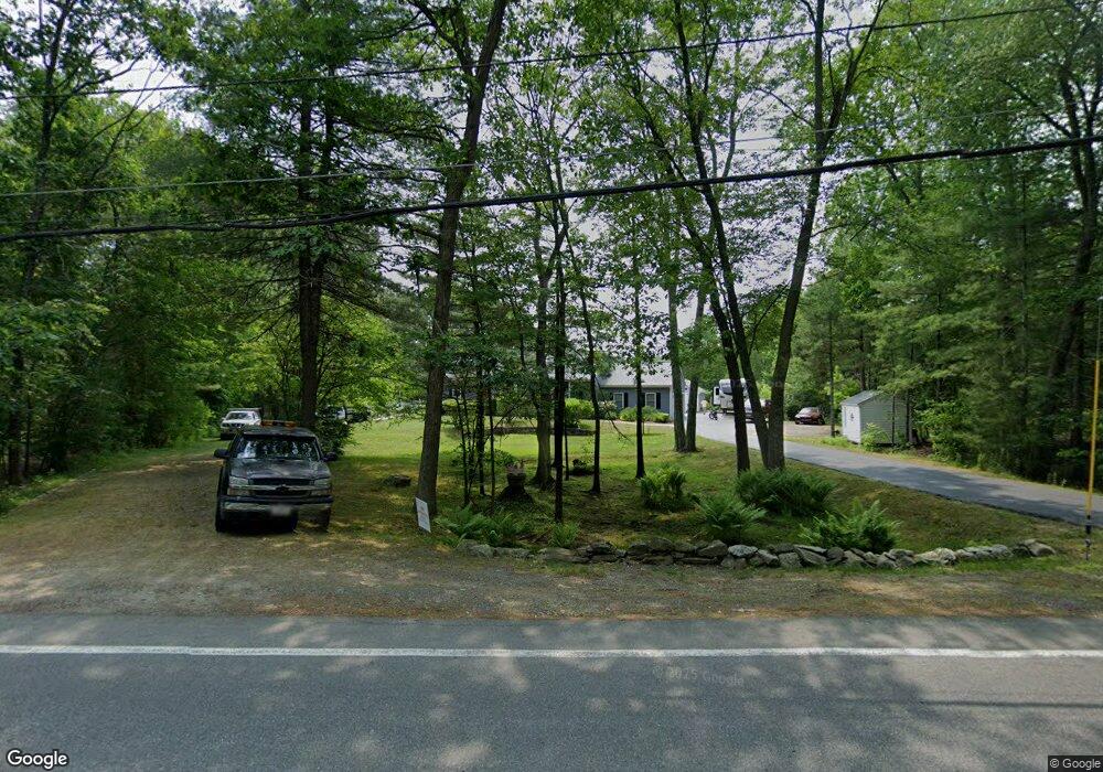
474 Dunstable Rd Tyngsboro, MA 01879
Estimated Value: $632,000 - $680,000
3
Beds
2
Baths
1,454
Sq Ft
$444/Sq Ft
Est. Value
About This Home
This home is located at 474 Dunstable Rd, Tyngsboro, MA 01879 and is currently estimated at $645,237, approximately $443 per square foot. 474 Dunstable Rd is a home located in Middlesex County with nearby schools including Tyngsborough Elementary School, Tyngsborough Middle School, and Tyngsborough High School.
Ownership History
Date
Name
Owned For
Owner Type
Purchase Details
Closed on
Aug 30, 2018
Sold by
Young David and Young Elizabeth
Bought by
Tanguay Kevin R and Tanguay Donna L
Current Estimated Value
Purchase Details
Closed on
Apr 2, 1997
Sold by
Applewood Construction
Bought by
Young David L and Young Elizabeth A
Create a Home Valuation Report for This Property
The Home Valuation Report is an in-depth analysis detailing your home's value as well as a comparison with similar homes in the area
Home Values in the Area
Average Home Value in this Area
Purchase History
| Date | Buyer | Sale Price | Title Company |
|---|---|---|---|
| Tanguay Kevin R | $400,000 | -- | |
| Young David L | $191,900 | -- |
Source: Public Records
Mortgage History
| Date | Status | Borrower | Loan Amount |
|---|---|---|---|
| Previous Owner | Young David L | $20,000 |
Source: Public Records
Tax History
| Year | Tax Paid | Tax Assessment Tax Assessment Total Assessment is a certain percentage of the fair market value that is determined by local assessors to be the total taxable value of land and additions on the property. | Land | Improvement |
|---|---|---|---|---|
| 2025 | $73 | $595,300 | $240,900 | $354,400 |
| 2024 | $7,145 | $561,700 | $229,400 | $332,300 |
| 2023 | $6,991 | $494,400 | $192,400 | $302,000 |
| 2022 | $6,716 | $449,500 | $168,400 | $281,100 |
| 2021 | $6,576 | $409,200 | $153,100 | $256,100 |
| 2020 | $6,326 | $389,300 | $153,100 | $236,200 |
| 2019 | $8,476 | $380,600 | $146,600 | $234,000 |
| 2018 | $6,384 | $373,100 | $146,600 | $226,500 |
| 2017 | $5,927 | $345,400 | $146,600 | $198,800 |
| 2016 | $5,438 | $309,700 | $124,800 | $184,900 |
| 2015 | $5,253 | $309,700 | $124,800 | $184,900 |
Source: Public Records
Map
Nearby Homes
- 16 Cannongate Rd Unit 16
- 160 Westford Rd
- 0 Dunstable Rd
- 0 Lowell St
- 10 Dickens Ln
- 14 Centercrest Dr Unit 14
- 24 Old Tyng Rd
- 23 Morrison Ln
- 22 Highland Rd
- 24 Highland Rd
- 21 Merrimac Way Unit D
- 103 Pondview Place Unit 103
- 53 Russells Way
- 56 Frost Rd
- 28 Juniper Ln Unit 65
- 11 Juniper Ln Unit 14
- 30 Tamarack Way Unit 30
- 22 Juniper Ln Unit 66
- 3 Bridgeview Cir Unit 45
- 100 Farwell Rd
- 472 Dunstable Rd
- 478 Dunstable Rd
- 4 Brookview Cir
- 468 Dunstable Rd
- 0 Redgate Road Lot 1 Unit 50345368
- 0 Brookview Acres
- 8 Brookview Cir
- 465 Dunstable Rd
- 462 Dunstable Rd
- 7 Brookview Cir
- 475 Dunstable Rd
- 5 Red Gate Rd
- 3 Brookview Cir
- 11 Red Gate Rd
- 15 Red Gate Rd
- 458 Dunstable Rd
- 46 Red Gate Rd
- 11 Brookview Cir
- 2 Cannongate Rd
- 14 Red Gate Rd
Your Personal Tour Guide
Ask me questions while you tour the home.