Estimated Value: $157,000 - $223,000
4
Beds
2
Baths
1,632
Sq Ft
$121/Sq Ft
Est. Value
About This Home
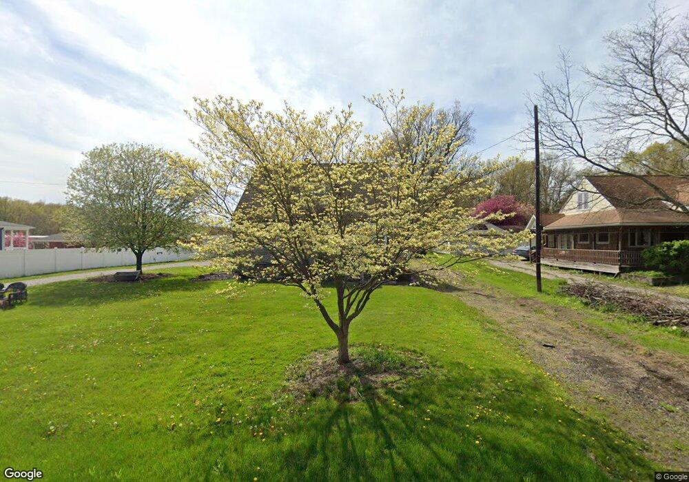
This home is located at 474 Ewart Rd, Akron, OH 44312 and is currently estimated at $196,853, approximately $120 per square foot. 474 Ewart Rd is a home located in Summit County with nearby schools including Springfield High School and Summit Academy Akron Elementary School.
Ownership History
Date
Name
Owned For
Owner Type
Purchase Details
Closed on
Sep 28, 2020
Sold by
Morrison Timothy M and Morrison Christie M
Bought by
Morrison Timothy M and Morrison Christie M
Current Estimated Value
Home Financials for this Owner
Home Financials are based on the most recent Mortgage that was taken out on this home.
Original Mortgage
$117,500
Interest Rate
2.7%
Mortgage Type
VA
Purchase Details
Closed on
May 21, 2004
Sold by
Pecimon David M and Pecimon Bernard J
Bought by
Morrison Timothy M
Home Financials for this Owner
Home Financials are based on the most recent Mortgage that was taken out on this home.
Original Mortgage
$72,000
Interest Rate
5.91%
Mortgage Type
Purchase Money Mortgage
Create a Home Valuation Report for This Property
The Home Valuation Report is an in-depth analysis detailing your home's value as well as a comparison with similar homes in the area
Purchase History
| Date | Buyer | Sale Price | Title Company |
|---|---|---|---|
| Morrison Timothy M | -- | None Listed On Document | |
| Morrison Timothy M | $90,000 | Johnson & Parrish Title Agen |
Source: Public Records
Mortgage History
| Date | Status | Borrower | Loan Amount |
|---|---|---|---|
| Previous Owner | Morrison Timothy M | $117,500 | |
| Previous Owner | Morrison Timothy M | $72,000 |
Source: Public Records
Tax History
| Year | Tax Paid | Tax Assessment Tax Assessment Total Assessment is a certain percentage of the fair market value that is determined by local assessors to be the total taxable value of land and additions on the property. | Land | Improvement |
|---|---|---|---|---|
| 2025 | $2,125 | $55,745 | $12,089 | $43,656 |
| 2024 | $2,125 | $55,745 | $12,089 | $43,656 |
| 2023 | $2,125 | $55,745 | $12,089 | $43,656 |
| 2022 | $1,517 | $40,356 | $8,698 | $31,658 |
| 2021 | $1,483 | $40,356 | $8,698 | $31,658 |
| 2020 | $2,534 | $40,360 | $8,700 | $31,660 |
| 2019 | $2,962 | $31,770 | $9,390 | $22,380 |
| 2018 | $2,438 | $31,770 | $9,390 | $22,380 |
| 2017 | $2,038 | $31,770 | $9,390 | $22,380 |
| 2016 | $2,057 | $29,950 | $9,390 | $20,560 |
| 2015 | $2,038 | $29,950 | $9,390 | $20,560 |
| 2014 | $2,014 | $29,950 | $9,390 | $20,560 |
| 2013 | $2,023 | $29,970 | $9,390 | $20,580 |
Source: Public Records
Map
Nearby Homes
- 3228 Carper Ave
- 117 Wilpark Dr
- 515 Taylor Ave
- 3189-3197 Albrecht Ave
- 553 Celia Ave
- 448 Fritsch Ave
- 432 Edith Ave
- 233 Marion Ave
- 410 Columbine Ave
- 0 V L Marion Ave
- 360 James Ave
- 2941 Old Home Rd
- 479 Junior Ave
- 99 Meadowridge Rd
- 3774 Argonne St
- 2809 McElwain Rd
- 3736 Louise St
- 2789 Old Home Rd
- 3755 Louise St
- 994 Bookman Ave
Your Personal Tour Guide
Ask me questions while you tour the home.