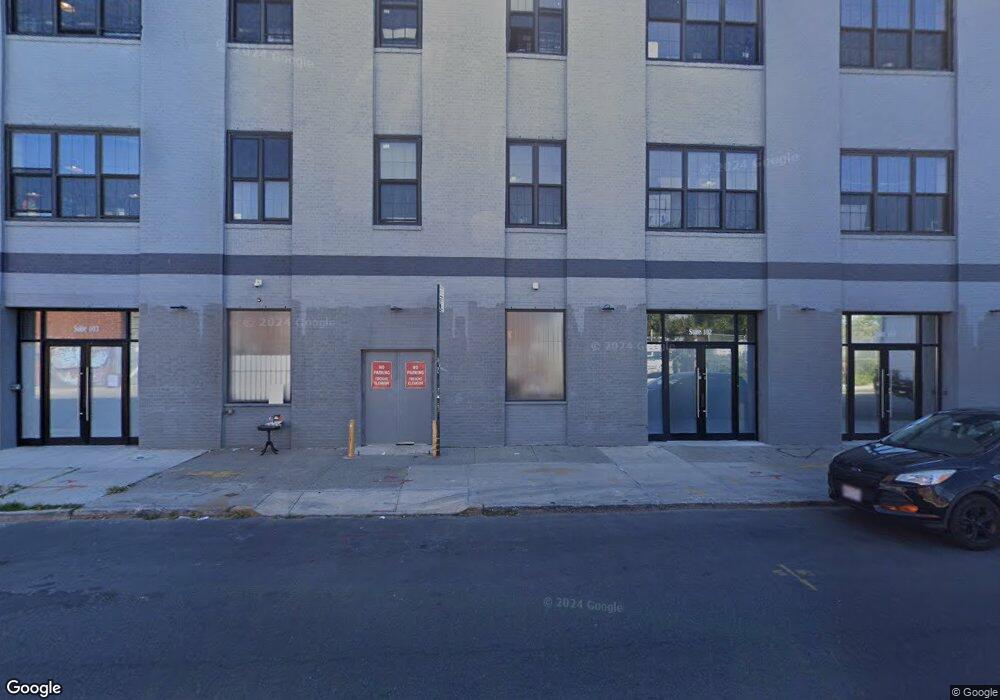
474 Johnson Ave Brooklyn, NY 11237
East Williamsburg Neighborhood
--
Bed
--
Bath
56,856
Sq Ft
0.46
Acres
About This Home
This home is located at 474 Johnson Ave, Brooklyn, NY 11237. 474 Johnson Ave is a home located in Kings County with nearby schools including P.S. 145 Andrew Jackson and Williamsburg Charter High School.
Ownership History
Date
Name
Owned For
Owner Type
Purchase Details
Closed on
Dec 28, 1995
Sold by
Southside Real Properties Inc
Bought by
Maki Realty Corp
Home Financials for this Owner
Home Financials are based on the most recent Mortgage that was taken out on this home.
Original Mortgage
$352,500
Interest Rate
7.13%
Mortgage Type
Seller Take Back
Create a Home Valuation Report for This Property
The Home Valuation Report is an in-depth analysis detailing your home's value as well as a comparison with similar homes in the area
Home Values in the Area
Average Home Value in this Area
Purchase History
| Date | Buyer | Sale Price | Title Company |
|---|---|---|---|
| Maki Realty Corp | $705,000 | First American Title Ins Co | |
| Maki Realty Corp | $705,000 | First American Title Ins Co |
Source: Public Records
Mortgage History
| Date | Status | Borrower | Loan Amount |
|---|---|---|---|
| Closed | Maki Realty Corp | $352,500 |
Source: Public Records
Tax History Compared to Growth
Tax History
| Year | Tax Paid | Tax Assessment Tax Assessment Total Assessment is a certain percentage of the fair market value that is determined by local assessors to be the total taxable value of land and additions on the property. | Land | Improvement |
|---|---|---|---|---|
| 2025 | $324,068 | $3,146,850 | $342,000 | $2,804,850 |
| 2024 | $324,068 | $3,059,550 | $342,000 | $2,717,550 |
| 2023 | $285,260 | $2,689,650 | $342,000 | $2,347,650 |
| 2022 | $148,338 | $2,758,500 | $342,000 | $2,416,500 |
| 2021 | $369,633 | $3,456,450 | $342,000 | $3,114,450 |
| 2020 | $184,816 | $4,245,750 | $342,000 | $3,903,750 |
| 2019 | $368,190 | $4,245,750 | $342,000 | $3,903,750 |
| 2018 | $370,566 | $4,245,750 | $342,000 | $3,903,750 |
| 2017 | $342,457 | $4,228,650 | $342,000 | $3,886,650 |
| 2016 | $188,358 | $2,103,750 | $342,000 | $1,761,750 |
| 2015 | $52,861 | $1,940,850 | $342,000 | $1,598,850 |
| 2014 | $52,861 | $1,745,550 | $342,000 | $1,403,550 |
Source: Public Records
Map
Nearby Homes
- 95 Grattan St Unit PH 1
- 21 Thames St
- 1048 Flushing Ave Unit 4L
- 1048 Flushing Ave Unit 2R
- 138 George St
- 115 George St
- 151 Noll St
- 299 Troutman St
- 289 Troutman St Unit 3B
- 382 Troutman St
- 251 Montrose Ave
- 58 Saint Nicholas Ave Unit 6
- 76 Bushwick Place
- 443 Bushwick Ave
- 17-12 Starr St
- 93-95 Wyckoff Ave Unit 4B
- 228 Bushwick Ave Unit 3B
- 218 Scholes St Unit 9
- 1801 Starr St
- 873 Grand St
- 91 Ingraham St
- 450 Johnson Ave
- 465 Johnson Ave
- 119 Ingraham St
- 418 Johnson Ave
- 79 Ingraham St
- 100-108 Ingraham St
- 94-98 Ingraham St
- 469 Johnson Ave
- 110-120 Ingraham St
- 75 Ingraham St
- 88 Ingraham St
- 89-111 Porter Ave
- 431-434 Johnson Ave
- 82 Ingraham St
- 71 Ingraham St
- 432 Johnson Ave
- 97-113 Harrison Place
- 430 Johnson Ave
- 67-69 Ingraham St