474 Mann Rd Barnesville, GA 30204
Estimated Value: $1,227,037
--
Bed
--
Bath
--
Sq Ft
304.01
Acres
About This Home
This home is located at 474 Mann Rd, Barnesville, GA 30204 and is currently estimated at $1,227,037. 474 Mann Rd is a home located in Lamar County with nearby schools including Lamar County Primary School, Lamar County Elementary School, and Lamar County Middle School.
Ownership History
Date
Name
Owned For
Owner Type
Purchase Details
Closed on
Dec 15, 2017
Sold by
American Natural Resources
Bought by
Roost Investment Co Llc
Current Estimated Value
Purchase Details
Closed on
Jul 22, 2016
Sold by
Jobson Vernon C
Bought by
American Natural Resources Llc
Purchase Details
Closed on
Apr 12, 2013
Sold by
Jobson Vernon C
Bought by
Jobson Vernon C
Purchase Details
Closed on
Jul 17, 2002
Sold by
Willwell L P
Bought by
Jobson Vernon C
Create a Home Valuation Report for This Property
The Home Valuation Report is an in-depth analysis detailing your home's value as well as a comparison with similar homes in the area
Home Values in the Area
Average Home Value in this Area
Purchase History
| Date | Buyer | Sale Price | Title Company |
|---|---|---|---|
| Roost Investment Co Llc | $625,000 | -- | |
| American Natural Resources Llc | $485,000 | -- | |
| Jobson Vernon C | -- | -- | |
| Jobson Vernon C | $64,100 | -- |
Source: Public Records
Tax History Compared to Growth
Tax History
| Year | Tax Paid | Tax Assessment Tax Assessment Total Assessment is a certain percentage of the fair market value that is determined by local assessors to be the total taxable value of land and additions on the property. | Land | Improvement |
|---|---|---|---|---|
| 2025 | $2,042 | $326,231 | $322,239 | $3,992 |
| 2024 | $2,042 | $326,231 | $322,239 | $3,992 |
| 2023 | $2,141 | $326,231 | $322,239 | $3,992 |
| 2022 | $2,141 | $256,916 | $252,924 | $3,992 |
| 2021 | $2,269 | $201,225 | $197,233 | $3,992 |
| 2020 | $2,326 | $201,225 | $197,233 | $3,992 |
| 2019 | $2,269 | $201,225 | $197,233 | $3,992 |
| 2018 | $2,120 | $201,225 | $197,233 | $3,992 |
| 2017 | $1,932 | $202,313 | $197,233 | $5,080 |
| 2016 | $2,018 | $201,568 | $196,488 | $5,080 |
| 2015 | $1,963 | $201,569 | $196,488 | $5,080 |
| 2014 | $1,853 | $201,569 | $196,488 | $5,080 |
| 2013 | -- | $201,568 | $196,488 | $5,080 |
Source: Public Records
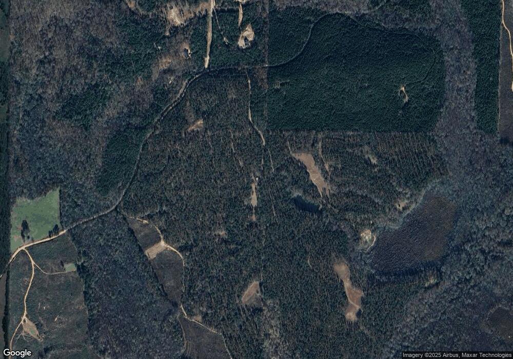
Map
Nearby Homes
- 1242 City Pond Rd
- 0 Chappell Mill Rd Unit 10576810
- 507 N Ridge Rd
- 111 Possum Trot Rd
- 474 Chappell Mill Rd
- 621 Unionville Rd
- 121 Triple Crown Way
- 0 Walters Rd Unit TRACT 2
- 0 Walters Rd Unit TRACT 5
- 620 Rocky Creek Rd
- 0 Highway 41 Unit 10655458
- 0 Crawford Rd Unit 10611435
- 880 Johnstonville Rd
- 218 City Pond Rd
- 310 Preakness Way
- 461 Preakness Way
- 367 Cherokee Trail
- 325 High Rd
- 351 Cherokee Trail
- 239 Walters Rd
- 1098 City Pond Rd
- 880 City Pond Rd
- 876 City Pond Rd
- 876 City Pond Rd Unit 4
- 880 City Pond Rd Unit 5
- 214 Mann Rd Unit 214 AND 216
- 1221 City Pond Rd
- 1217 City Pond Rd
- 291 Mann Rd
- 1206 City Pond Rd
- 1231 City Pond Rd
- 1241 City Pond Rd
- 275 Mann Rd
- 269 Mann Rd
- 1261 City Pond Rd
- 884 City Pond Rd
- 662 Van Buren Rd
- 1257 City Pond Rd
- 1252 City Pond Rd
- 239 Mann Rd