474 Mumau Rd Unit B Colville, WA 99114
Estimated Value: $489,000 - $643,000
3
Beds
3
Baths
3,056
Sq Ft
$178/Sq Ft
Est. Value
About This Home
This home is located at 474 Mumau Rd Unit B, Colville, WA 99114 and is currently estimated at $545,187, approximately $178 per square foot. 474 Mumau Rd Unit B is a home located in Stevens County with nearby schools including Hofstetter Elementary School, Fort Colville Elementary School, and Colville Junior High School.
Ownership History
Date
Name
Owned For
Owner Type
Purchase Details
Closed on
Jul 31, 2017
Sold by
Wasson Albertus H and Wasson Family Trust
Bought by
King Shane and King Rebecca J
Current Estimated Value
Home Financials for this Owner
Home Financials are based on the most recent Mortgage that was taken out on this home.
Original Mortgage
$234,800
Outstanding Balance
$195,604
Interest Rate
3.9%
Mortgage Type
New Conventional
Estimated Equity
$349,583
Purchase Details
Closed on
Dec 6, 2005
Sold by
Wasson Albertus H and Wasson Kristine D
Bought by
Wasson Albertus H and Wasson Kristine D
Purchase Details
Closed on
Aug 31, 2005
Sold by
Wasson Albertus H and Wasson Kristine D
Bought by
Wasson Albertus H and Wasson Kristine D
Create a Home Valuation Report for This Property
The Home Valuation Report is an in-depth analysis detailing your home's value as well as a comparison with similar homes in the area
Home Values in the Area
Average Home Value in this Area
Purchase History
| Date | Buyer | Sale Price | Title Company |
|---|---|---|---|
| King Shane | $293,500 | Stevens County Title Company | |
| Wasson Albertus H | -- | None Available | |
| Wasson Albertus H | -- | None Available |
Source: Public Records
Mortgage History
| Date | Status | Borrower | Loan Amount |
|---|---|---|---|
| Open | King Shane | $234,800 |
Source: Public Records
Tax History Compared to Growth
Tax History
| Year | Tax Paid | Tax Assessment Tax Assessment Total Assessment is a certain percentage of the fair market value that is determined by local assessors to be the total taxable value of land and additions on the property. | Land | Improvement |
|---|---|---|---|---|
| 2024 | $2,151 | $320,791 | $49,185 | $271,606 |
| 2023 | $2,157 | $322,338 | $49,185 | $273,153 |
| 2022 | $2,237 | $310,546 | $49,185 | $261,361 |
| 2021 | $2,284 | $291,901 | $49,185 | $242,716 |
| 2020 | $2,256 | $291,901 | $49,185 | $242,716 |
| 2019 | $2,059 | $286,329 | $49,185 | $237,144 |
| 2018 | $2,422 | $248,975 | $49,185 | $199,790 |
| 2017 | $2,063 | $250,708 | $49,185 | $201,523 |
| 2016 | $2,124 | $235,595 | $49,185 | $186,410 |
| 2015 | $1,097 | $239,733 | $49,185 | $190,548 |
| 2013 | -- | $222,644 | $52,464 | $170,180 |
Source: Public Records
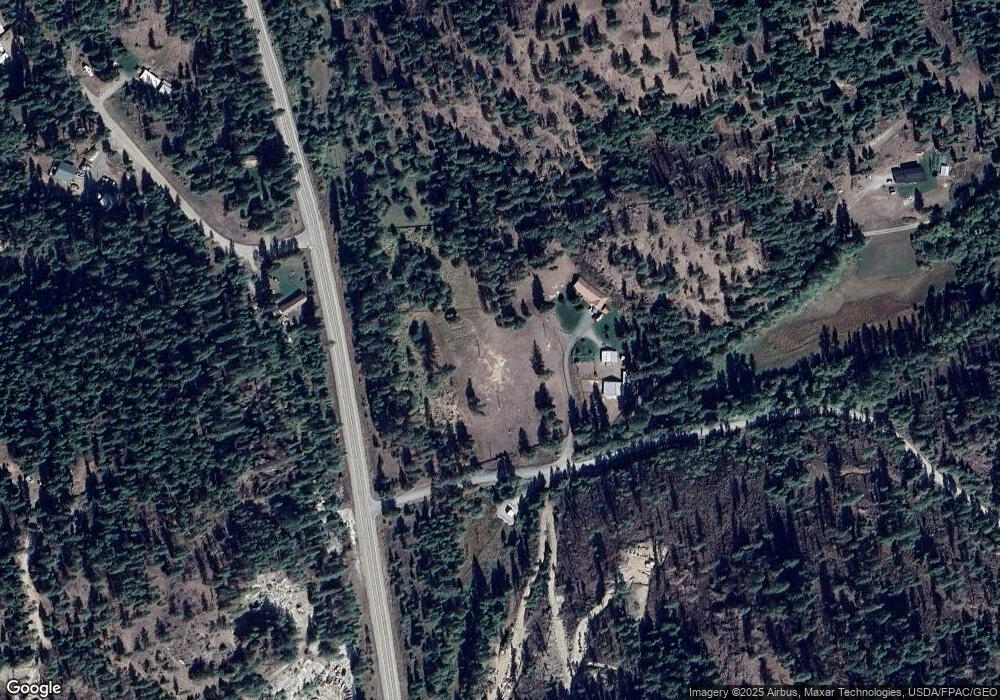
Map
Nearby Homes
- 410 Prouty Corner Loop Rd
- 493 Mumau Rd
- 540 Dolomite Rd
- 585 White Meadow Way
- 395 Old Dominion Rd
- 395A Old Dominion Rd
- 564 Old Dominion Rd
- 739 Prouty Corner Loop Rd
- 2135 Whitetail Way
- 2082 Whitetail Way
- 2058 Ringneck Loop
- 2037 Ringneck Loop
- 717 Conrad Hill Way
- 755 Conrad Hill Way
- 1023 Olympic Way
- 994 S Miner St
- 1900 Tamarack St
- 1650 E Fairway Loop Rd
- 1650ABC E Fairway Loop Rd
- 157 Garden Homes Dr
- 474 Mumau Rd
- 474 Mumau Rd
- 474 Mumau Rd
- 472 Mumau Rd
- 472-A Mumau Rd
- 472-B Mumau Rd
- 491 Mumau Rd
- 441 Tiger Dr
- TBD Prouty Corner Loop
- 571 Prouty Loop Corner
- 432 Tiger Dr
- 572F Crown Ridge Way
- 426 Tiger Dr
- 520 Dolomite Rd
- 520 Dolomite Rd
- 507 Crown Ridge Way
- 421 Tiger Dr
- 410F Prouty Corner Loop Rd
- 516 Crown Ridge Way
- 410G Prouty Corner Loop Rd