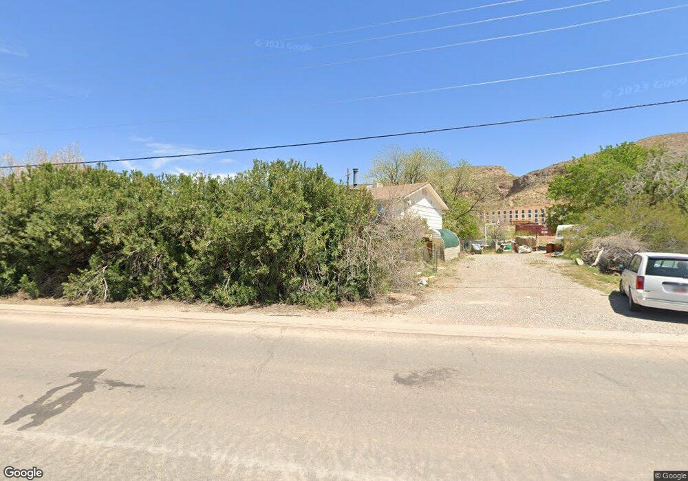
474 N 100 E La Verkin, UT 84745
Estimated Value: $496,000 - $588,892
--
Bed
3
Baths
1,404
Sq Ft
$397/Sq Ft
Est. Value
About This Home
This home is located at 474 N 100 E, La Verkin, UT 84745 and is currently estimated at $556,973, approximately $396 per square foot. 474 N 100 E is a home located in Washington County with nearby schools including La Verkin Elementary School, Hurricane Middle School, and Hurricane High School.
Create a Home Valuation Report for This Property
The Home Valuation Report is an in-depth analysis detailing your home's value as well as a comparison with similar homes in the area
Home Values in the Area
Average Home Value in this Area
Tax History
| Year | Tax Paid | Tax Assessment Tax Assessment Total Assessment is a certain percentage of the fair market value that is determined by local assessors to be the total taxable value of land and additions on the property. | Land | Improvement |
|---|---|---|---|---|
| 2025 | $2,571 | $372,680 | $352,550 | $20,130 |
| 2023 | $2,419 | $315,975 | $297,165 | $18,810 |
| 2022 | $2,146 | $263,945 | $241,450 | $22,495 |
| 2021 | $1,779 | $322,200 | $292,600 | $29,600 |
| 2020 | $1,824 | $308,700 | $284,200 | $24,500 |
| 2019 | $1,092 | $177,300 | $155,500 | $21,800 |
| 2018 | $1,184 | $96,005 | $0 | $0 |
| 2017 | $1,183 | $95,895 | $0 | $0 |
| 2016 | $930 | $77,780 | $0 | $0 |
| 2015 | $930 | $69,595 | $0 | $0 |
| 2014 | $1,192 | $87,940 | $0 | $0 |
Source: Public Records
Map
Nearby Homes
- 47 E 450 N
- 43 E 450 N Unit 30
- 115 E 460 N
- 60 E 460 N
- 27 E 450 N
- 27 E 450 N Unit 29
- 66 E 450 N
- 90 E 460 N
- 17.38 AC State Route 9 - Lease Only
- 46 E 450 N
- 46 E 450 N Unit 24
- 23 E 450 N Unit 28
- 42 E 450 N
- 420 E 450 St N Unit 4
- 420 E 450 St N Unit 3
- 420 E 450 St N Unit 2
- 420 E 450 St N Unit 1
- 71 E 420 N
- 71 E 420 N Unit 18
- 424 N 100 E
Your Personal Tour Guide
Ask me questions while you tour the home.
