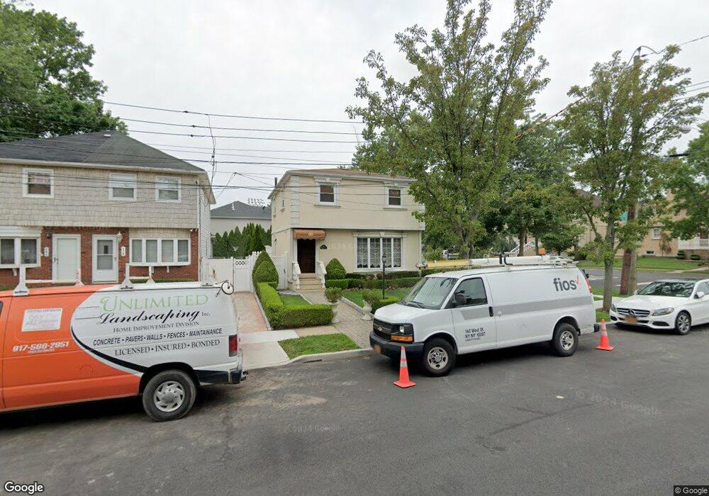
474 Philip Ave Staten Island, NY 10312
Huguenot NeighborhoodEstimated Value: $724,870 - $1,048,000
--
Bed
4
Baths
1,456
Sq Ft
$620/Sq Ft
Est. Value
About This Home
This home is located at 474 Philip Ave, Staten Island, NY 10312 and is currently estimated at $902,468, approximately $619 per square foot. 474 Philip Ave is a home located in Richmond County with nearby schools including P.S. 5 - Huguenot, I.S. 007 Elias Bernstein, and Tottenville High School.
Ownership History
Date
Name
Owned For
Owner Type
Purchase Details
Closed on
Jul 25, 2003
Sold by
Guarnera Roberto
Bought by
Guarnera Roberto and Guarnera Jo Ann
Current Estimated Value
Purchase Details
Closed on
Apr 9, 2003
Sold by
Beam Richard B and Myrhol Joanne M
Bought by
Guarnera Roberto
Home Financials for this Owner
Home Financials are based on the most recent Mortgage that was taken out on this home.
Original Mortgage
$356,000
Interest Rate
5.86%
Mortgage Type
Purchase Money Mortgage
Create a Home Valuation Report for This Property
The Home Valuation Report is an in-depth analysis detailing your home's value as well as a comparison with similar homes in the area
Home Values in the Area
Average Home Value in this Area
Purchase History
| Date | Buyer | Sale Price | Title Company |
|---|---|---|---|
| Guarnera Roberto | -- | Chicago Title Insurance Co | |
| Guarnera Roberto | $445,000 | Lawyers Title Insurance Corp |
Source: Public Records
Mortgage History
| Date | Status | Borrower | Loan Amount |
|---|---|---|---|
| Previous Owner | Guarnera Roberto | $356,000 |
Source: Public Records
Tax History Compared to Growth
Tax History
| Year | Tax Paid | Tax Assessment Tax Assessment Total Assessment is a certain percentage of the fair market value that is determined by local assessors to be the total taxable value of land and additions on the property. | Land | Improvement |
|---|---|---|---|---|
| 2025 | $6,559 | $38,460 | $16,163 | $22,297 |
| 2024 | $6,571 | $37,200 | $15,765 | $21,435 |
| 2023 | $6,241 | $32,130 | $15,420 | $16,710 |
| 2022 | $5,764 | $36,180 | $17,220 | $18,960 |
| 2021 | $6,076 | $38,160 | $17,220 | $20,940 |
| 2020 | $6,072 | $36,300 | $17,220 | $19,080 |
| 2019 | $5,644 | $36,300 | $17,220 | $19,080 |
| 2018 | $5,160 | $26,775 | $13,318 | $13,457 |
| 2017 | $4,850 | $25,260 | $17,220 | $8,040 |
| 2016 | $5,627 | $29,700 | $17,220 | $12,480 |
| 2015 | $5,107 | $28,980 | $14,880 | $14,100 |
| 2014 | $5,107 | $28,200 | $12,313 | $15,887 |
Source: Public Records
Map
Nearby Homes
- 5 Nicolosi Dr
- 84 Discala Ln
- 16 Nicolosi Loop
- 393 Philip Ave
- 389 Philip Ave
- 350 Poillon Ave
- 52 Nicolosi Loop
- 383 Philip Ave
- 344 Poillon Ave
- 59 Newton St
- 314 Bertram Ave
- 311 Bertram Ave
- 304 Bertram Ave
- 381 Arbutus Ave
- 140 Nicolosi Dr
- 155 Nicolosi Dr
- 161 Boardwalk Ave
- 21 Allen Place
- 545 Arbutus Ave
- 115 Jansen St
- 478 Philip Ave
- 480 Philip Ave
- 0 Kenwood Ave
- 244 Kenwood Ave
- 488 Philip Ave
- 477 Philip Ave
- 460 Philip Ave
- 241 Kenwood Ave
- 477 Bertram Ave
- 437 Bertram Ave
- 219 Kenwood Ave
- 210 Kenwood Ave
- 489 Philip Ave
- 435 Bertram Ave
- 452 Philip Ave
- 211 Kenwood Ave
- 31 Zephyr Ave
- 451 Philip Ave
- 430 Poillon Ave
- 41 Zephyr Ave