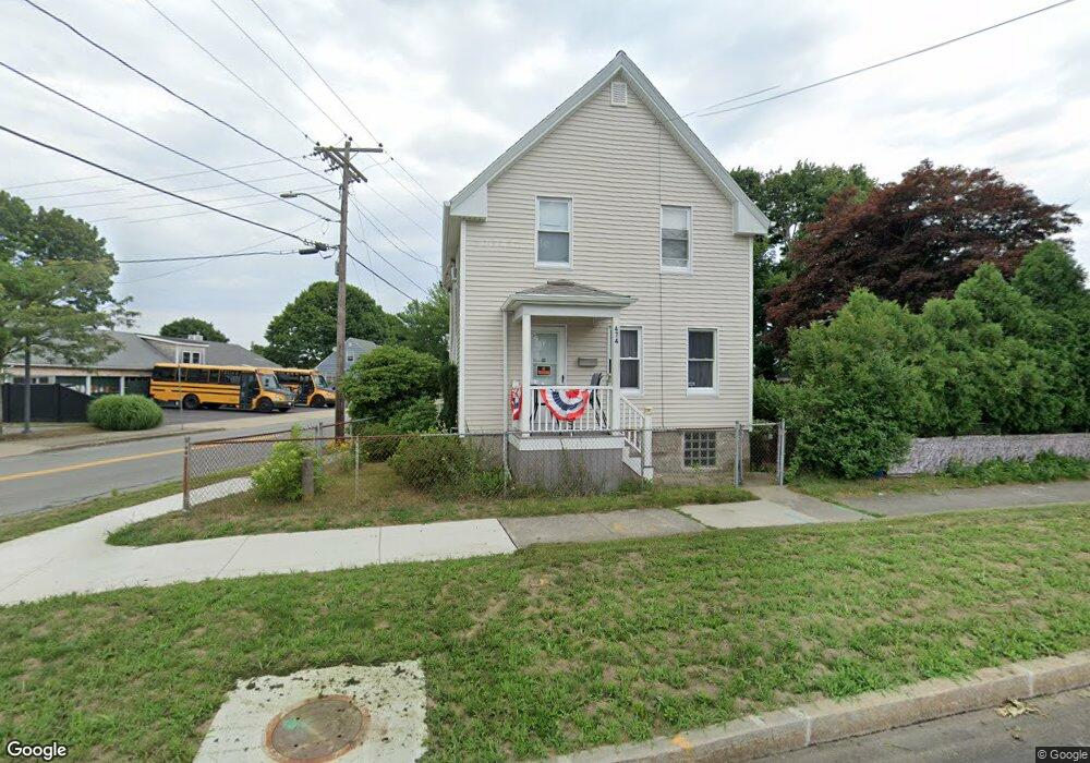
474 Rockdale Ave New Bedford, MA 02740
The South End NeighborhoodEstimated Value: $364,000 - $387,420
3
Beds
2
Baths
924
Sq Ft
$408/Sq Ft
Est. Value
About This Home
This home is located at 474 Rockdale Ave, New Bedford, MA 02740 and is currently estimated at $376,855, approximately $407 per square foot. 474 Rockdale Ave is a home located in Bristol County with nearby schools including Betsey B. Winslow Elementary School, Keith Middle School, and New Bedford High School.
Ownership History
Date
Name
Owned For
Owner Type
Purchase Details
Closed on
Aug 22, 2024
Sold by
Melo Kevin A and Melo Andrea M
Bought by
Crespo-Cardona Jose A and Mercado David J
Current Estimated Value
Home Financials for this Owner
Home Financials are based on the most recent Mortgage that was taken out on this home.
Original Mortgage
$303,300
Outstanding Balance
$299,332
Interest Rate
6.89%
Mortgage Type
Purchase Money Mortgage
Estimated Equity
$77,523
Purchase Details
Closed on
Apr 5, 2019
Sold by
Neto Luis Manuel D Est and Neto
Bought by
Melo Kevin A and Melo Andrea M
Create a Home Valuation Report for This Property
The Home Valuation Report is an in-depth analysis detailing your home's value as well as a comparison with similar homes in the area
Home Values in the Area
Average Home Value in this Area
Purchase History
| Date | Buyer | Sale Price | Title Company |
|---|---|---|---|
| Crespo-Cardona Jose A | $337,000 | None Available | |
| Crespo-Cardona Jose A | $337,000 | None Available | |
| Crespo-Cardona Jose A | $337,000 | None Available | |
| Melo Kevin A | $90,000 | -- | |
| Melo Kevin A | $90,000 | -- | |
| Melo Kevin A | $90,000 | -- |
Source: Public Records
Mortgage History
| Date | Status | Borrower | Loan Amount |
|---|---|---|---|
| Open | Crespo-Cardona Jose A | $303,300 | |
| Closed | Crespo-Cardona Jose A | $303,300 |
Source: Public Records
Tax History Compared to Growth
Tax History
| Year | Tax Paid | Tax Assessment Tax Assessment Total Assessment is a certain percentage of the fair market value that is determined by local assessors to be the total taxable value of land and additions on the property. | Land | Improvement |
|---|---|---|---|---|
| 2025 | $3,524 | $311,600 | $130,500 | $181,100 |
| 2024 | $3,370 | $280,800 | $132,600 | $148,200 |
| 2023 | $3,537 | $247,500 | $114,400 | $133,100 |
| 2022 | $3,307 | $212,800 | $108,700 | $104,100 |
| 2021 | $3,233 | $207,400 | $108,700 | $98,700 |
| 2020 | $3,222 | $199,400 | $108,700 | $90,700 |
| 2019 | $3,194 | $193,900 | $108,700 | $85,200 |
| 2018 | $3,058 | $183,900 | $108,700 | $75,200 |
| 2017 | $2,929 | $175,500 | $108,700 | $66,800 |
| 2016 | $2,815 | $170,700 | $108,700 | $62,000 |
| 2015 | $2,617 | $166,400 | $108,700 | $57,700 |
| 2014 | $2,392 | $157,800 | $102,200 | $55,600 |
Source: Public Records
Map
Nearby Homes
- 464 Rockdale Ave
- 462 Rockdale Ave
- 465 Rockdale Ave
- 279 Grape St
- 456 Rockdale Ave
- 457 Rockdale Ave
- 60 Mandell St
- 574 Allen St
- 50 Mandell St
- 273 Grape St
- 570 Allen St
- 566 Allen St
- 40 Mandell St
- 564 Allen St
- 452 Rockdale Ave Unit 454
- 489 Rockdale Ave
- 267 Grape St
- 560 Allen St
- 319 Grape St
- 32 Mandell St