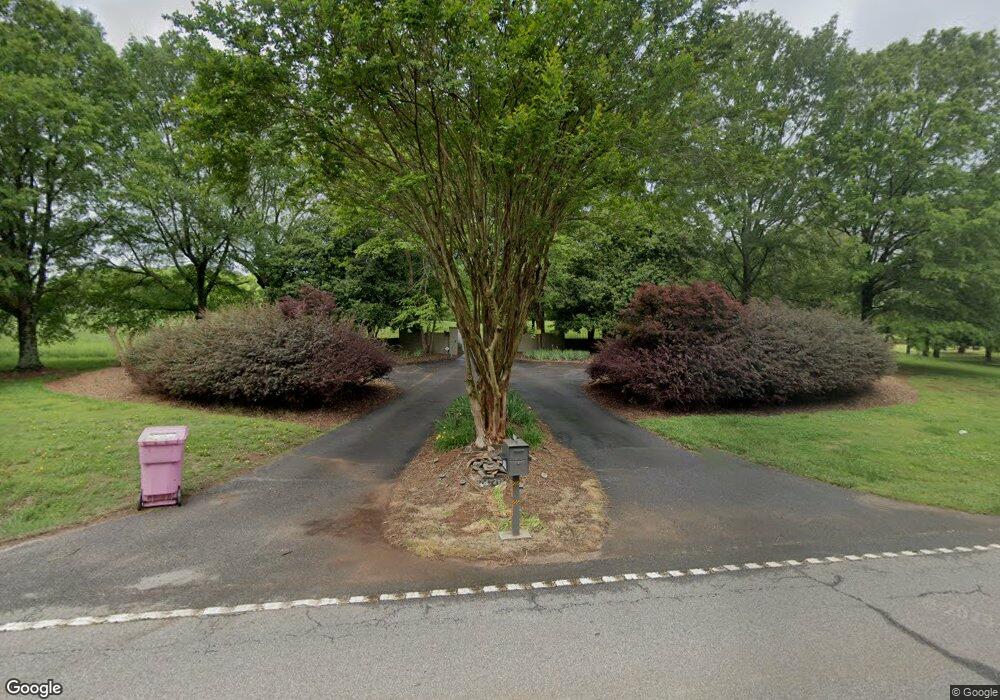
4741 Highway 29 N Danielsville, GA 30633
Estimated Value: $323,000 - $1,058,795
5
Beds
5
Baths
5,653
Sq Ft
$124/Sq Ft
Est. Value
About This Home
This home is located at 4741 Highway 29 N, Danielsville, GA 30633 and is currently estimated at $699,598, approximately $123 per square foot. 4741 Highway 29 N is a home located in Madison County with nearby schools including Madison County High School.
Ownership History
Date
Name
Owned For
Owner Type
Purchase Details
Closed on
Mar 9, 2022
Sold by
Mullins Patrick W
Bought by
The Patrick W Mullins And Carol R B
Current Estimated Value
Purchase Details
Closed on
May 7, 2021
Sold by
Guest Glenn Allen
Bought by
Mullins Patrick and Buell Carol Robin
Home Financials for this Owner
Home Financials are based on the most recent Mortgage that was taken out on this home.
Original Mortgage
$548,250
Interest Rate
3.1%
Mortgage Type
New Conventional
Purchase Details
Closed on
Dec 6, 2011
Sold by
Beatty Michael A and Beatty Judy G
Bought by
Aggeorgia Farm Credit Aca
Purchase Details
Closed on
Apr 7, 2006
Sold by
Phillip Anthony Glenn
Bought by
Beatty Michael A and Beatty Judy G
Home Financials for this Owner
Home Financials are based on the most recent Mortgage that was taken out on this home.
Original Mortgage
$1,305,000
Interest Rate
6.29%
Mortgage Type
New Conventional
Create a Home Valuation Report for This Property
The Home Valuation Report is an in-depth analysis detailing your home's value as well as a comparison with similar homes in the area
Home Values in the Area
Average Home Value in this Area
Purchase History
| Date | Buyer | Sale Price | Title Company |
|---|---|---|---|
| The Patrick W Mullins And Carol R B | -- | -- | |
| Mullins Patrick | $806,875 | -- | |
| Aggeorgia Farm Credit Aca | $950,000 | -- | |
| Beatty Michael A | -- | -- | |
| Beatty Michael A | $1,240,000 | -- |
Source: Public Records
Mortgage History
| Date | Status | Borrower | Loan Amount |
|---|---|---|---|
| Previous Owner | Mullins Patrick | $548,250 | |
| Previous Owner | Beatty Michael A | $1,305,000 |
Source: Public Records
Tax History Compared to Growth
Tax History
| Year | Tax Paid | Tax Assessment Tax Assessment Total Assessment is a certain percentage of the fair market value that is determined by local assessors to be the total taxable value of land and additions on the property. | Land | Improvement |
|---|---|---|---|---|
| 2024 | $96 | $407,542 | $39,658 | $367,884 |
| 2023 | $11,685 | $382,772 | $33,048 | $349,724 |
| 2022 | $7,464 | $341,846 | $22,722 | $319,124 |
| 2021 | $8,714 | $287,464 | $22,722 | $264,742 |
| 2016 | $3,170 | $112,448 | $16,524 | $95,924 |
Source: Public Records
Map
Nearby Homes
- 795 E Jones Chapel Rd
- 0 Carey-Ford Rd
- 0 Carey Ford Rd Unit 10495957
- 0 Cedar Ln Unit 1026097
- 0 Cedar Ln Unit 10530523
- 107 Hill Lake Rd
- 450 Stagecoach Way
- 266 Water Oak Rd
- 1885 Highway 29 N
- 0 Hwy 29 N Unit 10574548
- 0 Hwy 29 N Unit CL335575
- 00 Georgia 174 Unit 1
- 0 Georgia 191
- 0 Highway 29 N Unit 10525658
- 0 Irvin Kirk Rd
- 0 Kirk Langford Rd Unit 7671084
- 0 Kirk Langford Rd Unit 10630817
- 0 Dickson Dr Unit 416392
- 0 Dickson Dr Unit 7594620
- 0 Dickson Dr Unit 23800701
- 4741 Highway 29 N
- 4741 Highway 29 N
- 4741 Highway 29 N
- 4741 Hwy 29n
- 565 D Highland Rd
- 4741 Highway 29n
- 0 Mason Mill Rd Unit CM371793
- 0 Mason Mill Rd Unit 8006749
- 0 Mason Mill Rd Unit 8821928
- 0 Mason Mill Rd Unit 8851817
- 0 Mason Mill Rd Unit 3182150
- 0 Mason Mill Rd Unit 7192676
- 0 Mason Mill Rd Unit 8284933
- 4815 Highway 29 N
- 4909 Highway 29 N
- 4611 Highway 29 N
- 4836 Highway 29 N
- 0 Highway 29n
- 4774 Highway 29n
- 4774 Hwy 29n