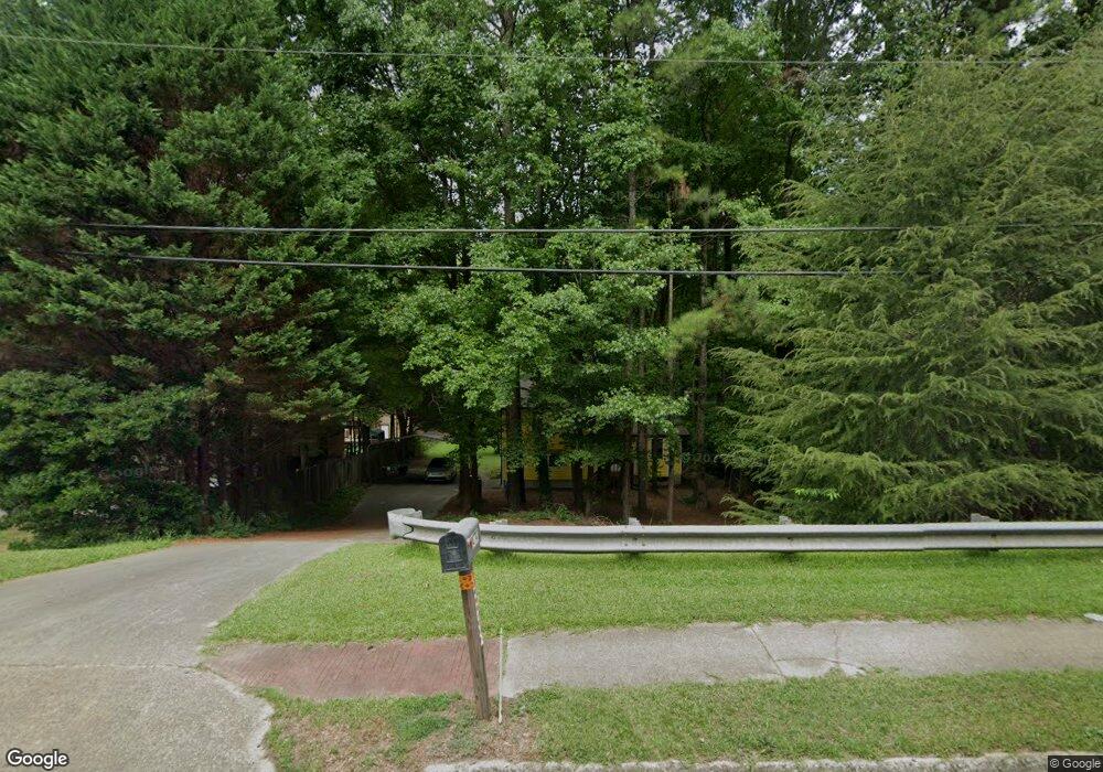
4741 Satellite Blvd Duluth, GA 30096
Estimated Value: $262,000 - $328,966
3
Beds
2
Baths
1,292
Sq Ft
$229/Sq Ft
Est. Value
About This Home
This home is located at 4741 Satellite Blvd, Duluth, GA 30096 and is currently estimated at $295,242, approximately $228 per square foot. 4741 Satellite Blvd is a home located in Gwinnett County with nearby schools including Beaver Ridge Elementary School, Summerour Middle School, and Norcross High School.
Ownership History
Date
Name
Owned For
Owner Type
Purchase Details
Closed on
Feb 26, 2011
Sold by
Federal Home Loan Mortgage Corporation
Bought by
Gentry Juliana C
Current Estimated Value
Purchase Details
Closed on
Nov 2, 2010
Sold by
Wells Fargo Bk Na
Bought by
Federal Home Loan Mortgage Corporation
Purchase Details
Closed on
Apr 21, 2005
Sold by
Evans Richard C
Bought by
Jerls Richard R
Home Financials for this Owner
Home Financials are based on the most recent Mortgage that was taken out on this home.
Original Mortgage
$127,300
Interest Rate
5.99%
Mortgage Type
New Conventional
Purchase Details
Closed on
Apr 29, 1999
Sold by
Evans Diane C
Bought by
Evans Richard C
Create a Home Valuation Report for This Property
The Home Valuation Report is an in-depth analysis detailing your home's value as well as a comparison with similar homes in the area
Home Values in the Area
Average Home Value in this Area
Purchase History
| Date | Buyer | Sale Price | Title Company |
|---|---|---|---|
| Gentry Juliana C | $52,950 | -- | |
| Federal Home Loan Mortgage Corporation | -- | -- | |
| Wells Fargo Bk Na | $80,000 | -- | |
| Jerls Richard R | $134,000 | -- | |
| Evans Richard C | -- | -- |
Source: Public Records
Mortgage History
| Date | Status | Borrower | Loan Amount |
|---|---|---|---|
| Previous Owner | Jerls Richard R | $127,300 |
Source: Public Records
Tax History Compared to Growth
Tax History
| Year | Tax Paid | Tax Assessment Tax Assessment Total Assessment is a certain percentage of the fair market value that is determined by local assessors to be the total taxable value of land and additions on the property. | Land | Improvement |
|---|---|---|---|---|
| 2025 | $4,477 | $117,520 | $25,840 | $91,680 |
| 2024 | $4,138 | $106,640 | $26,800 | $79,840 |
| 2023 | $4,138 | $106,640 | $26,800 | $79,840 |
| 2022 | $3,737 | $96,520 | $22,000 | $74,520 |
| 2021 | $2,810 | $69,400 | $16,080 | $53,320 |
| 2020 | $2,824 | $69,400 | $16,080 | $53,320 |
| 2019 | $0 | $61,000 | $12,800 | $48,200 |
| 2018 | $1,969 | $47,840 | $10,800 | $37,040 |
| 2016 | $1,466 | $32,960 | $7,200 | $25,760 |
| 2015 | $1,475 | $32,960 | $7,200 | $25,760 |
| 2014 | -- | $32,960 | $7,200 | $25,760 |
Source: Public Records
Map
Nearby Homes
- 4787 Greenway Rd
- 4781 Valley Ridge Dr
- 2082 Montgomery Trail
- 2055 Lake Ford Cir
- 4880 Racquet Ct
- 5045 Racquet Ct
- 5041 Rockborough Trail Unit 3
- 5055 Running Fox Trail
- 2318 Ingram Rd
- 5065 Rockborough Trail NW
- 4935 Rockborough Trail
- 5106 Rockborough Trail
- 4767 Glenwhite Dr
- 2385 Muirfield Way
- 2037 Pinnacle Pointe Dr
- 101 Vineyard Pond Dr NW
- 2066 Pinnacle Pointe Dr
- 4242 Morrison Lake Trail
- 2325 E Hill Way NW
- 4735 Satellite Blvd Unit 2
- 4747 Satellite Blvd
- 4729 Satellite Blvd
- 4753 Satellite Blvd
- 4723 Satellite Blvd
- 4757 Greenway Rd
- 4767 Greenway Rd
- 2037 Big Hickory Trail
- 2026 Big Hickory Trail
- 4747 Greenway Rd
- 4747 Greenway Rd NW
- 4777 Greenway Rd
- 4722 Satellite Blvd Unit 1
- 4717 Satellite Blvd
- 2016 Big Hickory Trail Unit 4
- 4737 Greenway Rd
- 4712 Satellite Blvd
- 4711 Satellite Blvd
- 2027 Big Hickory Trail Unit 4
- 4762 Satellite Blvd
