4743 Mccord Cir W Springfield, OH 45503
Estimated Value: $420,000 - $530,000
3
Beds
3
Baths
1,940
Sq Ft
$235/Sq Ft
Est. Value
About This Home
This home is located at 4743 Mccord Cir W, Springfield, OH 45503 and is currently estimated at $455,731, approximately $234 per square foot. 4743 Mccord Cir W is a home with nearby schools including Rolling Hills Elementary School, Northridge Middle School, and Kenton Ridge Middle & High School.
Ownership History
Date
Name
Owned For
Owner Type
Purchase Details
Closed on
May 12, 2016
Sold by
Overholser Builders Llc
Bought by
Raulston Christopher P and Raulston Jessica D
Current Estimated Value
Home Financials for this Owner
Home Financials are based on the most recent Mortgage that was taken out on this home.
Original Mortgage
$274,060
Outstanding Balance
$218,525
Interest Rate
3.71%
Mortgage Type
New Conventional
Estimated Equity
$237,206
Create a Home Valuation Report for This Property
The Home Valuation Report is an in-depth analysis detailing your home's value as well as a comparison with similar homes in the area
Home Values in the Area
Average Home Value in this Area
Purchase History
| Date | Buyer | Sale Price | Title Company |
|---|---|---|---|
| Raulston Christopher P | $288,490 | None Available |
Source: Public Records
Mortgage History
| Date | Status | Borrower | Loan Amount |
|---|---|---|---|
| Open | Raulston Christopher P | $274,060 |
Source: Public Records
Tax History Compared to Growth
Tax History
| Year | Tax Paid | Tax Assessment Tax Assessment Total Assessment is a certain percentage of the fair market value that is determined by local assessors to be the total taxable value of land and additions on the property. | Land | Improvement |
|---|---|---|---|---|
| 2024 | $5,688 | $134,500 | $18,700 | $115,800 |
| 2023 | $5,688 | $134,500 | $18,700 | $115,800 |
| 2022 | $5,709 | $134,500 | $18,700 | $115,800 |
| 2021 | $4,946 | $98,760 | $14,610 | $84,150 |
| 2020 | $4,950 | $98,760 | $14,610 | $84,150 |
| 2019 | $5,044 | $98,760 | $14,610 | $84,150 |
| 2018 | $4,872 | $91,330 | $11,110 | $80,220 |
| 2017 | $4,176 | $82,433 | $11,113 | $71,320 |
| 2016 | $1,487 | $31,935 | $11,113 | $20,822 |
Source: Public Records
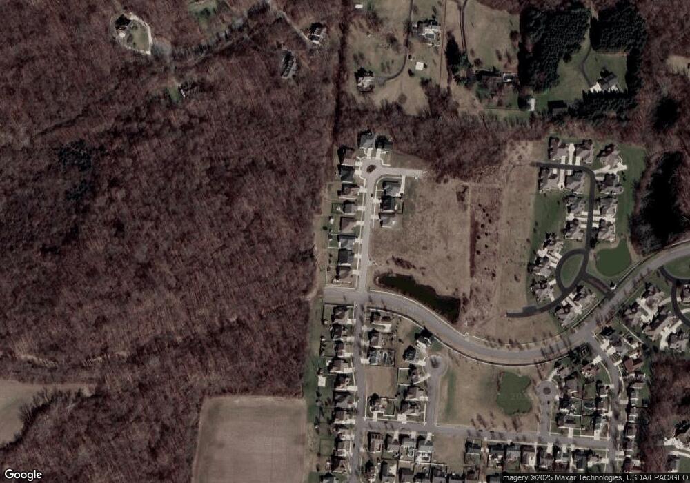
Map
Nearby Homes
- 593 Hiser Ave
- 794 Donnelly Ave
- 4514 Dowden St
- 880 Brendle Trace Unit 28
- 916 Sawmill Ct
- 970 Forest Edge Ave
- 4712 Cullen Ave
- 4622 W Ridgewood Rd
- 4109 Derr Rd
- 1139 Greenoak Ct
- 1461 Student Ave
- 5127 Stoneridge Dr
- 5249 Taywell Dr
- 4446 Ridgewood Rd E Unit 3
- 4512 Ridgewood Rd E
- 1162 Kingsgate Rd
- 4740 Merrimont Ave
- 4737 Mccord Cir W
- 4749 Mccord Cir W
- 4755 Mccord Cir W
- 4731 Mccord Cir W
- 4752 Mccord St
- 4752 Mccord Cir W
- 4761 Mccord Cir W
- 4758 Mccord Cir W
- 4767 Mccord Cir W
- 4788 Mccord Cir N
- 4691 Mccord St
- 4773 Mccord Cir N
- 4686 Mccord St
- 4673 Mccord St
- 4668 Mccord St
- 4785 Mccord Cir N
- 4779 Mccord Cir N
- 4655 Mccord St
- 4652 Mccord St
- 4637 Mccord St