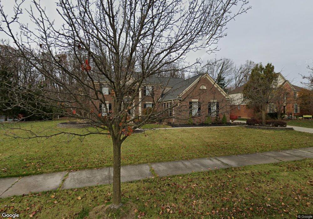
47444 Torrington Dr N Unit Bldg-Unit Canton, MI 48188
Estimated Value: $641,016 - $711,000
--
Bed
3
Baths
3,103
Sq Ft
$219/Sq Ft
Est. Value
About This Home
This home is located at 47444 Torrington Dr N Unit Bldg-Unit, Canton, MI 48188 and is currently estimated at $680,254, approximately $219 per square foot. 47444 Torrington Dr N Unit Bldg-Unit is a home located in Wayne County with nearby schools including Canton High School, Plymouth High School, and Salem High School.
Ownership History
Date
Name
Owned For
Owner Type
Purchase Details
Closed on
Mar 9, 2018
Sold by
Brownley Michael A and Brownley Tina M
Bought by
Merekl Nicholas E
Current Estimated Value
Home Financials for this Owner
Home Financials are based on the most recent Mortgage that was taken out on this home.
Original Mortgage
$344,000
Outstanding Balance
$294,360
Interest Rate
4.32%
Mortgage Type
New Conventional
Estimated Equity
$385,894
Purchase Details
Closed on
Feb 7, 2013
Sold by
Brownley Michael A and Brownley Tina M
Bought by
Brownley Michael A and Brownley Tina M
Home Financials for this Owner
Home Financials are based on the most recent Mortgage that was taken out on this home.
Original Mortgage
$210,000
Interest Rate
3.34%
Mortgage Type
New Conventional
Purchase Details
Closed on
Apr 30, 2004
Sold by
Brownley Michelle N and Brownley Michael A
Bought by
Brownley Michael A
Create a Home Valuation Report for This Property
The Home Valuation Report is an in-depth analysis detailing your home's value as well as a comparison with similar homes in the area
Home Values in the Area
Average Home Value in this Area
Purchase History
| Date | Buyer | Sale Price | Title Company |
|---|---|---|---|
| Merekl Nicholas E | $430,000 | None Available | |
| Brownley Michael A | -- | Land Title Agency Llc | |
| Brownley Michael A | -- | -- |
Source: Public Records
Mortgage History
| Date | Status | Borrower | Loan Amount |
|---|---|---|---|
| Open | Merekl Nicholas E | $344,000 | |
| Previous Owner | Brownley Michael A | $210,000 |
Source: Public Records
Tax History Compared to Growth
Tax History
| Year | Tax Paid | Tax Assessment Tax Assessment Total Assessment is a certain percentage of the fair market value that is determined by local assessors to be the total taxable value of land and additions on the property. | Land | Improvement |
|---|---|---|---|---|
| 2025 | $4,252 | $301,300 | $0 | $0 |
| 2024 | $4,252 | $273,000 | $0 | $0 |
| 2023 | $4,054 | $239,800 | $0 | $0 |
| 2022 | $8,727 | $218,500 | $0 | $0 |
| 2021 | $8,465 | $211,100 | $0 | $0 |
| 2020 | $8,363 | $207,400 | $0 | $0 |
| 2019 | $8,207 | $200,310 | $0 | $0 |
| 2018 | $2,948 | $200,200 | $0 | $0 |
| 2017 | $7,085 | $184,800 | $0 | $0 |
| 2016 | $6,397 | $191,200 | $0 | $0 |
| 2015 | $16,196 | $182,480 | $0 | $0 |
| 2013 | $15,690 | $171,840 | $0 | $0 |
| 2010 | -- | $152,600 | $73,657 | $78,943 |
Source: Public Records
Map
Nearby Homes
- 500 Belvedere Ct N
- 51026 Meadowlands
- 48030 Cherry Hill Rd
- 47078 Bing Dr
- 48416 Manhattan Cir
- 316 Queen Anne Dr
- 241 Country Club Ln
- 685 N Beck Rd
- 300 E Canford Park Unit 30
- 47671 Vistas Circle Dr N
- 1564 Crowndale Ln
- 48859 Garden Ln
- 47815 Vistas Circle Dr S
- 47631 Scenic Circle Dr N
- 49276 Garden Ln
- 1938 Scenic Dr
- 1861 Stonebridge Way
- 1300 N Beck Rd
- 1273 Kennebec
- 00000 Denton Rd
- 47444 Torrington Dr N
- 47428 Torrington Dr N
- 47460 Torrington Dr N
- 47445 Torrington Dr N
- 47412 Torrington Dr N
- 47429 Torrington Dr N
- 47476 Torrington Dr N
- 47461 Torrington Dr N
- 47413 Torrington Dr N
- 47526 Parkgate Ct
- 47446 Parkgate Ct
- 47492 Torrington Dr N
- 47430 Parkgate Ct
- 47462 Parkgate Ct
- 47414 Parkgate Ct
- 47478 Parkgate Ct
- 47509 Torrington Dr N
- 327 Woodward Rd
- 281 Woodward Rd
- 47511 Parkgate Ct