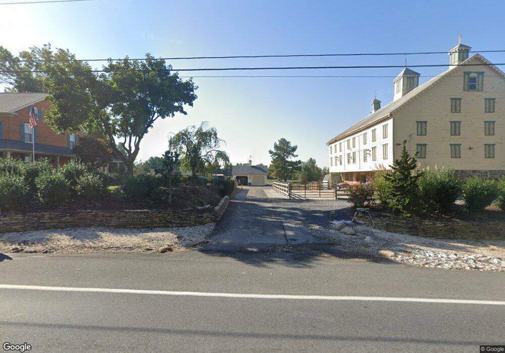
4745 Baltimore Pike Littlestown, PA 17340
Estimated Value: $551,000 - $670,029
3
Beds
2
Baths
2,912
Sq Ft
$206/Sq Ft
Est. Value
About This Home
This home is located at 4745 Baltimore Pike, Littlestown, PA 17340 and is currently estimated at $600,007, approximately $206 per square foot. 4745 Baltimore Pike is a home located in Adams County with nearby schools including Rolling Acres El School, Maple Avenue Middle School, and Littlestown Senior High School.
Ownership History
Date
Name
Owned For
Owner Type
Purchase Details
Closed on
Jul 23, 2018
Sold by
Wolf Marian M
Bought by
Keys David I
Current Estimated Value
Purchase Details
Closed on
Oct 30, 2014
Sold by
Wolf James O and Wolf Marian M
Bought by
Wolf James O and Wolf Marian M
Purchase Details
Closed on
Dec 7, 2001
Bought by
Wolf James O
Create a Home Valuation Report for This Property
The Home Valuation Report is an in-depth analysis detailing your home's value as well as a comparison with similar homes in the area
Home Values in the Area
Average Home Value in this Area
Purchase History
| Date | Buyer | Sale Price | Title Company |
|---|---|---|---|
| Keys David I | $322,500 | -- | |
| Wolf James O | -- | None Available | |
| Wolf James O | -- | -- |
Source: Public Records
Tax History Compared to Growth
Tax History
| Year | Tax Paid | Tax Assessment Tax Assessment Total Assessment is a certain percentage of the fair market value that is determined by local assessors to be the total taxable value of land and additions on the property. | Land | Improvement |
|---|---|---|---|---|
| 2025 | $5,073 | $268,000 | $57,600 | $210,400 |
| 2024 | $4,876 | $268,000 | $57,600 | $210,400 |
| 2023 | $7,348 | $268,000 | $57,600 | $210,400 |
| 2022 | $7,294 | $268,000 | $57,600 | $210,400 |
| 2021 | $7,035 | $268,000 | $57,600 | $210,400 |
| 2020 | $6,933 | $268,000 | $57,600 | $210,400 |
| 2019 | $6,785 | $268,000 | $57,600 | $210,400 |
| 2018 | $6,583 | $268,000 | $57,600 | $210,400 |
| 2017 | $4,125 | $268,000 | $57,600 | $210,400 |
| 2016 | -- | $268,000 | $57,600 | $210,400 |
| 2015 | -- | $414,300 | $203,900 | $210,400 |
| 2014 | -- | $369,400 | $159,000 | $210,400 |
Source: Public Records
Map
Nearby Homes
- 58 Windsor Ct
- 48 Windsor Ct
- 161 Stoners Cir
- 20c Locust Dr
- 0 Locust Dr Unit PAAD2015910
- 1024 Frederick Pike Unit 6
- 440 N Queen St
- 140 Apple Grove Ln Unit 425
- 464 Locust Ln
- 22 Rita Marie Ave
- 162 Newark St
- 129 W King St
- 117 Charles St
- 115 Charles St
- 106 E King St
- 61 E King St
- 2226 Harney Rd Unit 2
- 2238 Harney Rd Unit 3
- 3801 Baltimore Pike
- 211 E King St
- 4763 Baltimore Pike
- 4775 Baltimore Pike
- 4744 Baltimore Pike
- 4754 Baltimore Pike Unit 3
- 4762 Baltimore Pike
- 4730 Baltimore Pike
- 160 Crosswinds Dr
- 4738 Baltimore Pike
- 4718 Baltimore Pike
- 4772 Baltimore Pike Unit 2
- 4805 Baltimore Pike Unit 1
- 140 Crosswinds Dr Unit 27
- 140 Crosswinds Dr
- 4708 Baltimore Pike
- 4661 Baltimore Pike
- 4698 Baltimore Pike
- 4784 Baltimore Pike Unit 1
- 2 Feeser Rd
- 1 Feeser Rd
- 4796 Baltimore Pike