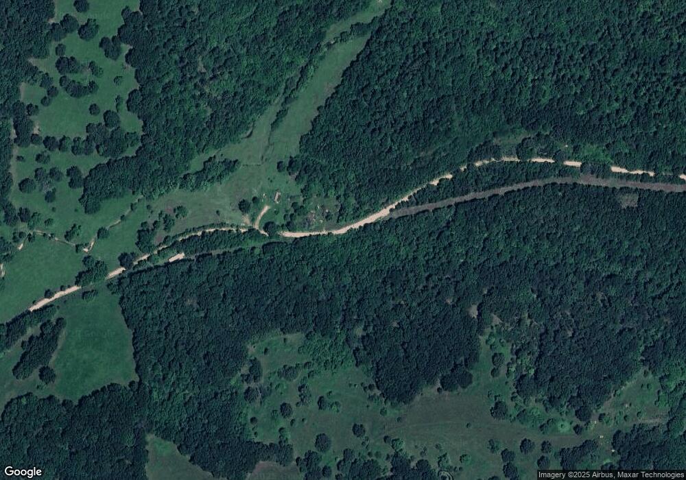
Estimated Value: $145,000 - $268,000
2
Beds
--
Bath
1,128
Sq Ft
$183/Sq Ft
Est. Value
About This Home
This home is located at 4745 County Rd O-540, Ava, MO 65608 and is currently estimated at $206,500, approximately $183 per square foot. 4745 County Rd O-540 is a home with nearby schools including Ava Elementary School, Ava Middle School, and Ava High School.
Ownership History
Date
Name
Owned For
Owner Type
Purchase Details
Closed on
Jun 12, 2008
Sold by
Bank Of New York Trust Company N A
Bought by
Swearengin Anthony
Current Estimated Value
Home Financials for this Owner
Home Financials are based on the most recent Mortgage that was taken out on this home.
Original Mortgage
$30,000
Outstanding Balance
$19,192
Interest Rate
5.99%
Mortgage Type
Future Advance Clause Open End Mortgage
Estimated Equity
$187,308
Purchase Details
Closed on
May 27, 2005
Sold by
Lafferty Virginia J
Bought by
Mcchensney George and Mcchesney Jennifer
Home Financials for this Owner
Home Financials are based on the most recent Mortgage that was taken out on this home.
Original Mortgage
$57,240
Interest Rate
7.78%
Mortgage Type
Adjustable Rate Mortgage/ARM
Create a Home Valuation Report for This Property
The Home Valuation Report is an in-depth analysis detailing your home's value as well as a comparison with similar homes in the area
Purchase History
| Date | Buyer | Sale Price | Title Company |
|---|---|---|---|
| Swearengin Anthony | -- | Mo Kan Title Services Inc | |
| Mcchensney George | -- | None Available |
Source: Public Records
Mortgage History
| Date | Status | Borrower | Loan Amount |
|---|---|---|---|
| Open | Swearengin Anthony | $30,000 | |
| Previous Owner | Mcchensney George | $57,240 |
Source: Public Records
Tax History
| Year | Tax Paid | Tax Assessment Tax Assessment Total Assessment is a certain percentage of the fair market value that is determined by local assessors to be the total taxable value of land and additions on the property. | Land | Improvement |
|---|---|---|---|---|
| 2025 | $214 | $2,450 | $2,450 | $0 |
| 2024 | $2 | $6,150 | $2,070 | $4,080 |
| 2023 | $213 | $6,150 | $2,070 | $4,080 |
| 2022 | $199 | $5,770 | $2,070 | $3,700 |
| 2020 | $247 | $7,070 | $2,070 | $5,000 |
| 2019 | $248 | $7,070 | $2,070 | $5,000 |
| 2018 | $310 | $8,900 | $3,900 | $5,000 |
| 2017 | $310 | $8,900 | $3,900 | $5,000 |
| 2016 | $237 | $6,750 | $2,090 | $4,660 |
| 2012 | -- | $6,750 | $0 | $0 |
Source: Public Records
Map
Nearby Homes
- Rr7
- 11852 Co Rd Unit Ak-541
- 11138 State Highway O
- 160 Lot Arden Ridge Hwy O
- Lot 4 Arden Ridge
- 444 Rural Route 3 Unit O-527
- Lot 13 Arden Ridge
- Lot 2 Arden Ridge
- Lot 10 Arden Ridge Hwy O
- Lot 14 Arden Ridge Hwy O
- 0 Rr 3
- Lot 17 Arden Ridge
- Lot 7 Arden Ridge Hwy O
- Lot 3 Hwy O Arden Ridge
- Lot 12 Arden Ridge Hwy O
- Lot 18 Arden Ridge
- Lot 16 Arden Ridge
- Lot #5 Arden Ridge
- Rr 7 Box 7378 P
- 000 State Highway Ak
- 4675 County Road O-540
- 10589 State Highway O
- 11001 State Highway O
- 0000 Rt 7 Box 7373-B
- 000 Highway Ak Unit Tract 2
- 000 Highway Ak Unit Tract 1
- 000 Highway Ak
- 0000 Tbd County Road 540
- 4117 County Rd O-540
- 10377 State Highway O
- 540 County Rd
- 13471 State Highway O
- 000 State Highway O
- 7388 State Highway O
- 125912 State Highway O
- Tract-2 State Highway O
- Tract-1 State Highway O
- 0 State Highway O Unit 11004334
- 0 State Highway O Unit 60077290
- 000 Tbd 540
