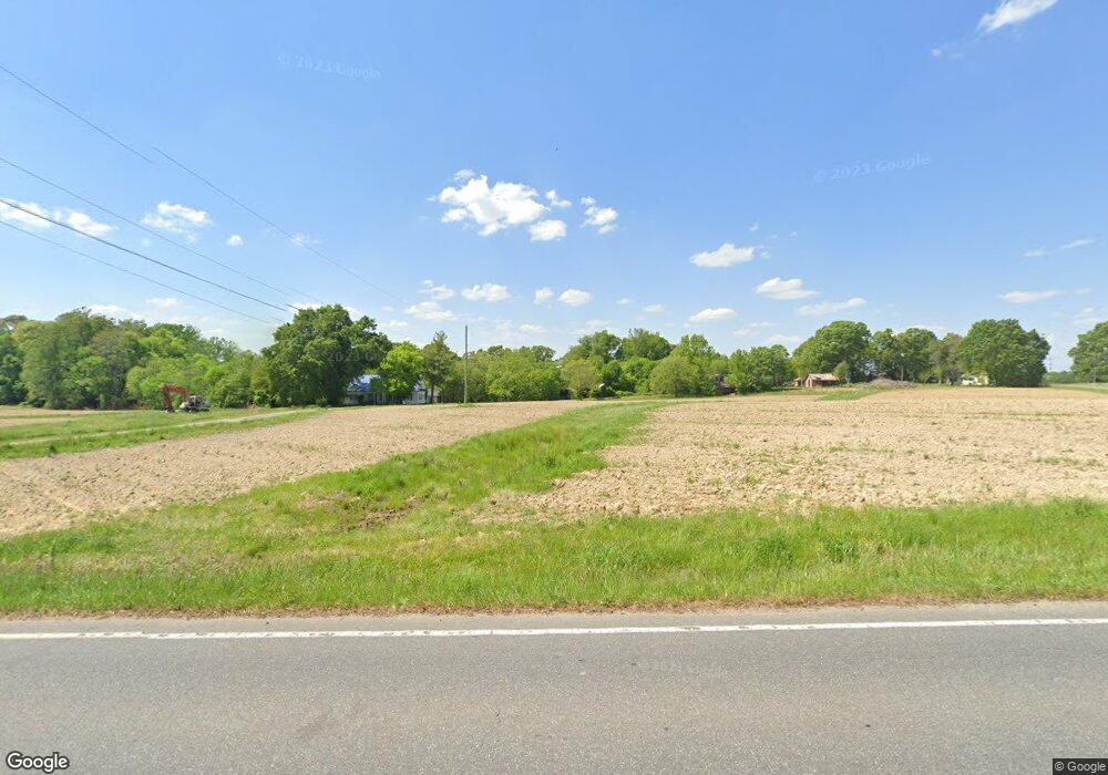
4745 E Nc Highway 150 Browns Summit, NC 27214
Estimated Value: $305,000 - $693,365
4
Beds
2
Baths
3,102
Sq Ft
$160/Sq Ft
Est. Value
About This Home
This home is located at 4745 E Nc Highway 150, Browns Summit, NC 27214 and is currently estimated at $495,591, approximately $159 per square foot. 4745 E Nc Highway 150 is a home located in Guilford County with nearby schools including Monticello-Brown Summit Elementary School, Northeast Guilford Middle School, and Northeast Guilford High School.
Ownership History
Date
Name
Owned For
Owner Type
Purchase Details
Closed on
Oct 30, 2012
Sold by
Boelte Edwin R and Boelte Patricia B
Bought by
Boelte Ii Edwin R
Current Estimated Value
Home Financials for this Owner
Home Financials are based on the most recent Mortgage that was taken out on this home.
Original Mortgage
$142,400
Outstanding Balance
$99,374
Interest Rate
3.6%
Mortgage Type
New Conventional
Estimated Equity
$396,217
Purchase Details
Closed on
Oct 3, 2003
Bought by
Boelte Edwin R
Create a Home Valuation Report for This Property
The Home Valuation Report is an in-depth analysis detailing your home's value as well as a comparison with similar homes in the area
Home Values in the Area
Average Home Value in this Area
Purchase History
| Date | Buyer | Sale Price | Title Company |
|---|---|---|---|
| Boelte Ii Edwin R | $178,000 | None Available | |
| Boelte Edwin R | -- | -- |
Source: Public Records
Mortgage History
| Date | Status | Borrower | Loan Amount |
|---|---|---|---|
| Open | Boelte Ii Edwin R | $142,400 |
Source: Public Records
Tax History Compared to Growth
Tax History
| Year | Tax Paid | Tax Assessment Tax Assessment Total Assessment is a certain percentage of the fair market value that is determined by local assessors to be the total taxable value of land and additions on the property. | Land | Improvement |
|---|---|---|---|---|
| 2025 | $3,411 | $383,100 | $208,300 | $174,800 |
| 2024 | $3,411 | $383,100 | $208,300 | $174,800 |
| 2023 | $3,411 | $383,100 | $208,300 | $174,800 |
| 2022 | $2,132 | $383,100 | $208,300 | $174,800 |
| 2021 | $1,891 | $366,300 | $225,100 | $141,200 |
| 2020 | $1,891 | $366,300 | $225,100 | $141,200 |
| 2019 | $1,891 | $217,219 | $0 | $0 |
| 2018 | $0 | $217,219 | $0 | $0 |
| 2017 | $1,786 | $207,619 | $0 | $0 |
| 2016 | $1,736 | $196,219 | $0 | $0 |
| 2015 | $1,746 | $196,219 | $0 | $0 |
| 2014 | $1,766 | $196,219 | $0 | $0 |
Source: Public Records
Map
Nearby Homes
- 7787 Ferrin Rd Unit et al
- 4427 N Carolina 150
- 7049 McLeansville Rd
- 3911 Old Berkshire Dr
- 8204 Southerland Dr
- 5822 Springer Dr
- 5805 Springer Dr
- 7918 Duck Pond Ct
- 209 Rangeland Place
- 7907 Duck Pond Ct
- 7913 Duck Pond Ct
- 8006 Duck Pond Ct
- 7919 Duck Pond Ct
- 8001 Duck Pond Ct
- 8012 Duck Pond Ct
- 5027 Brahman Trail
- 8018 Duck Pond Ct
- 8013 Duck Pond Ct
- 8306 Meadow Green Rd
- 5506 Tier View Trail
- 7715 Ferrin Rd
- 7734 Ferrin Rd
- 4725 E Nc Highway 150
- 4810 E Nc Highway 150
- 7741 Ferrin Rd
- 7709 Summitridge Dr
- 4804 Greenbrook Rd
- 7744 Ferrin Rd
- 4811 Greenbrook Rd
- 7707 Summitridge Dr
- 7705 Summitridge Dr
- 7704 Summitridge Dr
- 4812 Greenbrook Rd
- 4827 E Nc Highway 150
- 4827 E Nc Highway 150
- 4831 Nc Highway 150 E
- 7703 Summitridge Dr
- 7644 Caber Rd
- 7642 Caber Rd
- 4829 E Nc Highway 150
