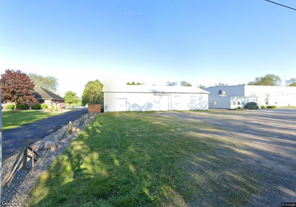
4747 Good Rd Delphos, OH 45833
Estimated Value: $989,736
4
Beds
3
Baths
41,944
Sq Ft
$24/Sq Ft
Est. Value
About This Home
This home is located at 4747 Good Rd, Delphos, OH 45833 and is currently estimated at $989,736, approximately $23 per square foot. 4747 Good Rd is a home located in Allen County.
Ownership History
Date
Name
Owned For
Owner Type
Purchase Details
Closed on
Mar 22, 2011
Sold by
Bsw Inc
Bought by
Another Job Llc
Current Estimated Value
Home Financials for this Owner
Home Financials are based on the most recent Mortgage that was taken out on this home.
Original Mortgage
$400,000
Interest Rate
5.09%
Mortgage Type
Commercial
Purchase Details
Closed on
Jun 1, 1971
Bought by
Neuman Mary M
Create a Home Valuation Report for This Property
The Home Valuation Report is an in-depth analysis detailing your home's value as well as a comparison with similar homes in the area
Home Values in the Area
Average Home Value in this Area
Purchase History
| Date | Buyer | Sale Price | Title Company |
|---|---|---|---|
| Another Job Llc | $500,000 | None Available | |
| Neuman Mary M | $30,000 | -- |
Source: Public Records
Mortgage History
| Date | Status | Borrower | Loan Amount |
|---|---|---|---|
| Previous Owner | Another Job Llc | $400,000 |
Source: Public Records
Tax History Compared to Growth
Tax History
| Year | Tax Paid | Tax Assessment Tax Assessment Total Assessment is a certain percentage of the fair market value that is determined by local assessors to be the total taxable value of land and additions on the property. | Land | Improvement |
|---|---|---|---|---|
| 2024 | $17,810 | $334,050 | $53,170 | $280,880 |
| 2023 | $17,182 | $303,670 | $48,340 | $255,330 |
| 2022 | $17,658 | $303,670 | $48,340 | $255,330 |
| 2021 | $17,672 | $303,670 | $48,340 | $255,330 |
| 2020 | $16,141 | $296,840 | $40,710 | $256,130 |
| 2019 | $16,141 | $296,840 | $40,710 | $256,130 |
| 2018 | $15,601 | $296,840 | $40,710 | $256,130 |
| 2017 | $15,512 | $296,840 | $40,710 | $256,130 |
| 2016 | $15,614 | $297,290 | $41,160 | $256,130 |
| 2015 | $14,595 | $297,290 | $41,160 | $256,130 |
| 2014 | $14,595 | $300,160 | $29,540 | $270,620 |
| 2013 | $14,099 | $300,160 | $29,540 | $270,620 |
Source: Public Records
Map
Nearby Homes
- 8448 Elida Rd
- 3755 Grubb Rd N
- 7180 W State Rd
- 3838 Kemp Rd N
- 7110 Elida Rd
- 827 S Washington St
- 1400 S Clay St Unit 17
- 483 S Franklin St
- 633 E 2nd St
- 521 Carolyn Dr
- 516 S Main St
- 424 S Canal St
- 5126 Pheasant St
- 1784 Woodberry Creek Dr
- 634 S Clay St
- 5031 Daisy Ln
- 221 S Main St
- 5280 Lobo St
- 1734 Woodberry Creek Dr
- 5103 Hummingbird St