4748 Linwood St West Bloomfield, MI 48324
Estimated Value: $320,935 - $536,000
3
Beds
2
Baths
1,215
Sq Ft
$331/Sq Ft
Est. Value
About This Home
This home is located at 4748 Linwood St, West Bloomfield, MI 48324 and is currently estimated at $402,484, approximately $331 per square foot. 4748 Linwood St is a home located in Oakland County with nearby schools including Waterford Montessori Academy, Our Lady Of Refuge School, and Lakecrest Baptist School.
Ownership History
Date
Name
Owned For
Owner Type
Purchase Details
Closed on
Jan 18, 2022
Sold by
Paul J Curran And Winnie J Curran Trust
Bought by
Curran Pamela J and Morris David
Current Estimated Value
Home Financials for this Owner
Home Financials are based on the most recent Mortgage that was taken out on this home.
Original Mortgage
$259,000
Outstanding Balance
$239,743
Interest Rate
3.45%
Mortgage Type
New Conventional
Estimated Equity
$162,741
Purchase Details
Closed on
Sep 26, 2016
Sold by
Curran Winnie J
Bought by
Curran Winnie J and Curran Pamela J
Purchase Details
Closed on
Jan 31, 2001
Sold by
Curran Paul J
Bought by
Paul J Curran Tr
Create a Home Valuation Report for This Property
The Home Valuation Report is an in-depth analysis detailing your home's value as well as a comparison with similar homes in the area
Home Values in the Area
Average Home Value in this Area
Purchase History
| Date | Buyer | Sale Price | Title Company |
|---|---|---|---|
| Curran Pamela J | -- | Devon Title Agency | |
| Curran Winnie J | -- | None Available | |
| Curran Winnie J | -- | None Available | |
| Paul J Curran Tr | -- | -- |
Source: Public Records
Mortgage History
| Date | Status | Borrower | Loan Amount |
|---|---|---|---|
| Open | Curran Pamela J | $259,000 |
Source: Public Records
Tax History Compared to Growth
Tax History
| Year | Tax Paid | Tax Assessment Tax Assessment Total Assessment is a certain percentage of the fair market value that is determined by local assessors to be the total taxable value of land and additions on the property. | Land | Improvement |
|---|---|---|---|---|
| 2024 | $2,157 | $157,410 | $0 | $0 |
| 2022 | $3,046 | $124,750 | $64,550 | $60,200 |
| 2021 | $3,161 | $117,710 | $0 | $0 |
| 2020 | $2,024 | $114,430 | $64,550 | $49,880 |
| 2018 | $3,052 | $102,580 | $64,550 | $38,030 |
| 2015 | -- | $89,680 | $0 | $0 |
| 2014 | -- | $82,530 | $0 | $0 |
| 2011 | -- | $83,010 | $0 | $0 |
Source: Public Records
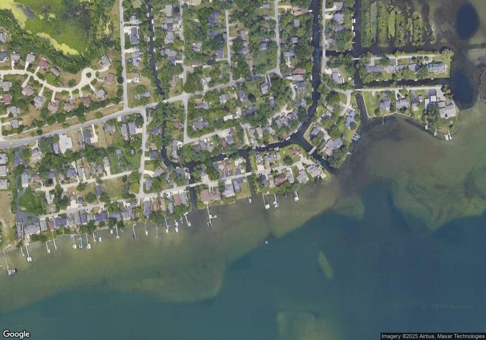
Map
Nearby Homes
- 2115 Aldwin Dr
- 1677 Parkview Ave
- 5149 Latimer St
- 5145 Greer Rd
- 4764 Dow Ridge Rd
- 4796 Dow Ridge Rd
- 1522 Oregon Ct
- 1859 Poppleton Dr
- 1844 Poppleton Dr
- 1753 Dawncrest Dr
- 4098 Parkway
- 2780 Orchard Place
- 5190 Westcombe Ln
- 2110 Peachtree Ct
- 3102 Rose Ln
- Lots Green Lake Langtoft
- VAC Daron Ln
- 4041 Chenlot Ln
- 1575 Parkway
- 5699 Applegrove Dr
- 4760 Linwood St
- 4766 Linwood St
- 4753 Linwood St
- 4706 Linwood St
- 4753 Mapleview Ave
- 4707 Linwood St
- 4761 Linwood St
- 4747 Mapleview Ave
- 4771 Mapleview Ave
- 4770 Linwood St
- 4697 Linwood St
- 4690 Linwood St
- 4721 Mapleview Ave
- 4779 Mapleview Ave
- 4781 Linwood St
- 4715 Mapleview Ave
- 4691 Linwood St
- 4789 Mapleview Ave
- 4680 Linwood St
- 4707 Mapleview Ave