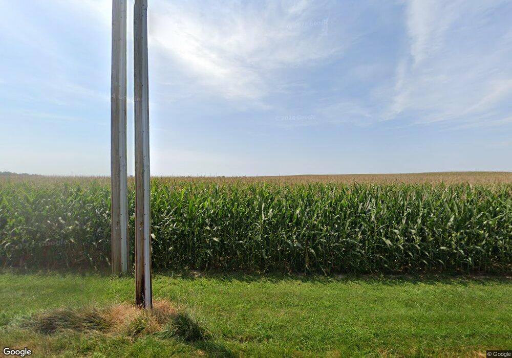
Estimated Value: $569,000 - $725,000
4
Beds
3
Baths
2,992
Sq Ft
$215/Sq Ft
Est. Value
About This Home
This home is located at 4748 State Route 122 W, Eaton, OH 45320 and is currently estimated at $643,904, approximately $215 per square foot. 4748 State Route 122 W is a home located in Preble County with nearby schools including Hollingsworth East Elementary School, William Bruce Elementary School, and Eaton Middle School.
Ownership History
Date
Name
Owned For
Owner Type
Purchase Details
Closed on
Apr 11, 2014
Sold by
Schmidt Keith W
Bought by
Schmidt Daniel K and Schmidt Kimberly A
Current Estimated Value
Home Financials for this Owner
Home Financials are based on the most recent Mortgage that was taken out on this home.
Original Mortgage
$183,360
Outstanding Balance
$55,363
Interest Rate
4.41%
Mortgage Type
New Conventional
Estimated Equity
$588,541
Purchase Details
Closed on
Dec 17, 2012
Sold by
Hawvermale Marvin E and Hawvermale Donna A
Bought by
Schmidt Keith W and Schmidt Beverly J
Create a Home Valuation Report for This Property
The Home Valuation Report is an in-depth analysis detailing your home's value as well as a comparison with similar homes in the area
Home Values in the Area
Average Home Value in this Area
Purchase History
| Date | Buyer | Sale Price | Title Company |
|---|---|---|---|
| Schmidt Daniel K | $229,200 | Freedom Title | |
| Schmidt Keith W | $1,265,000 | None Available |
Source: Public Records
Mortgage History
| Date | Status | Borrower | Loan Amount |
|---|---|---|---|
| Open | Schmidt Daniel K | $183,360 |
Source: Public Records
Tax History Compared to Growth
Tax History
| Year | Tax Paid | Tax Assessment Tax Assessment Total Assessment is a certain percentage of the fair market value that is determined by local assessors to be the total taxable value of land and additions on the property. | Land | Improvement |
|---|---|---|---|---|
| 2024 | $6,537 | $188,830 | $13,930 | $174,900 |
| 2023 | $6,537 | $188,830 | $13,930 | $174,900 |
| 2022 | $4,931 | $116,380 | $12,710 | $103,670 |
| 2021 | $5,179 | $116,380 | $12,710 | $103,670 |
| 2020 | $4,983 | $116,380 | $12,710 | $103,670 |
| 2019 | $4,659 | $108,710 | $11,760 | $96,950 |
| 2018 | $4,808 | $108,710 | $11,760 | $96,950 |
| 2017 | $4,806 | $108,710 | $11,760 | $96,950 |
| 2016 | $4,694 | $115,500 | $11,410 | $104,090 |
| 2014 | $4,245 | $46,410 | $11,410 | $35,000 |
| 2013 | $4,245 | $209,860 | $166,460 | $43,400 |
Source: Public Records
Map
Nearby Homes
- 1228 W Florence Campbellstown Rd
- 0 & 00 Washington Jackson Rd
- 636 Skodborg Dr
- 4623 Crawfordsville Campbellstown Rd
- 55 Kastrup Dr
- 19 Lakengren Dr
- 4141 Crawfordsville Campbellstown Rd
- 3127 Upshur Northern Rd
- 5835 Crawfordsville Campbellstown Rd
- 5283 W 35 Us
- 103 Fiord Dr
- 45 Long Dr
- 60 Lakengren Dr
- 122 Saxon Cove
- 57 Shield Dr
- 632-636 Skodborg Dr
- 162 Hatchet Dr
- 174 Borradale Rd
- 4995 State Route 122 W
- 4448 State Route 122 W
- 298 Borradale Rd
- 5161 State Route 122 W
- 4323 State Route 122 W
- 5228 State Route 122 W
- 633 Borradale Rd
- 4098 State Route 122 W
- 662 Borradale Rd
- 4095 State Route 122 W
- 4036 State Route 122 W
- 625 Oxford Gettysburg Rd
- 4024 State Route 122 W
- 5452 State Route 122 W
- 666 Oxford Gettysburg Rd
- 666 Oxford Gettysburg Rd
- 933 Borradale Rd
- 933 Borradale Rd
- 5628 State Route 122 W
