47485 Cedar Crest Dr Neskowin, OR 97149
Estimated Value: $649,000 - $823,505
3
Beds
2
Baths
850
Sq Ft
$890/Sq Ft
Est. Value
About This Home
This home is located at 47485 Cedar Crest Dr, Neskowin, OR 97149 and is currently estimated at $756,376, approximately $889 per square foot. 47485 Cedar Crest Dr is a home located in Tillamook County with nearby schools including Nestucca K-8 School and Nestucca High School.
Ownership History
Date
Name
Owned For
Owner Type
Purchase Details
Closed on
Jun 13, 2024
Sold by
Johnson Todd T and Johnson Laura A
Bought by
Todd And Laura Johnson Family Living Trust and Johnson
Current Estimated Value
Home Financials for this Owner
Home Financials are based on the most recent Mortgage that was taken out on this home.
Original Mortgage
$245,000
Interest Rate
7.22%
Mortgage Type
Construction
Purchase Details
Closed on
May 16, 2023
Sold by
Black Christie Lynn
Bought by
Todd And Laura Johnson Family Living Trust
Purchase Details
Closed on
Jun 26, 2008
Sold by
Edmunds Rose Christena
Bought by
Edmunds Rose C
Create a Home Valuation Report for This Property
The Home Valuation Report is an in-depth analysis detailing your home's value as well as a comparison with similar homes in the area
Purchase History
| Date | Buyer | Sale Price | Title Company |
|---|---|---|---|
| Todd And Laura Johnson Family Living Trust | -- | Fidelity National Title | |
| Johnson Todd Townsend | -- | Fidelity National Title | |
| Todd And Laura Johnson Family Living Trust | $720,000 | Fidelity National Title | |
| Edmunds Rose C | -- | None Available |
Source: Public Records
Mortgage History
| Date | Status | Borrower | Loan Amount |
|---|---|---|---|
| Closed | Johnson Todd Townsend | $245,000 |
Source: Public Records
Tax History
| Year | Tax Paid | Tax Assessment Tax Assessment Total Assessment is a certain percentage of the fair market value that is determined by local assessors to be the total taxable value of land and additions on the property. | Land | Improvement |
|---|---|---|---|---|
| 2025 | $4,276 | $354,540 | $214,660 | $139,880 |
| 2024 | $4,045 | $344,220 | $208,410 | $135,810 |
| 2023 | $4,061 | $334,200 | $202,340 | $131,860 |
| 2022 | $3,915 | $324,470 | $196,450 | $128,020 |
| 2021 | $3,805 | $315,020 | $190,730 | $124,290 |
| 2020 | $3,711 | $305,850 | $185,170 | $120,680 |
| 2019 | $3,634 | $296,950 | $179,780 | $117,170 |
| 2018 | $3,346 | $288,310 | $174,550 | $113,760 |
| 2017 | $3,000 | $279,920 | $169,460 | $110,460 |
| 2016 | $2,914 | $271,770 | $164,530 | $107,240 |
| 2015 | $2,856 | $263,860 | $159,740 | $104,120 |
| 2014 | $2,789 | $256,180 | $155,090 | $101,090 |
| 2013 | -- | $248,720 | $150,570 | $98,150 |
Source: Public Records
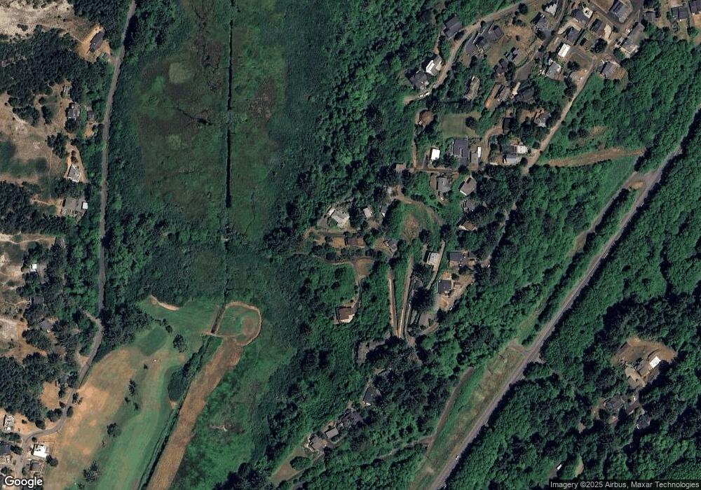
Map
Nearby Homes
- TL 10500 Beach Crest Dr
- TL 6800 Beach Crest Dr
- V/L 6500 Hill Crest Dr
- 0 Beach Crest Dr Unit TL 6800
- 46995 Beach Crest Dr
- 48250 Hawk St
- 48060 Breakers Blvd
- 46440 Hawk St
- 6600 Schoolhouse Rd
- 4850 Schoolhouse Rd
- 5950 Pacific Overlook Dr
- 4445 Yamhill Ave
- 46615 Highway 101 S
- TL 600 Kinnikinnick Dr
- 4800 Blk Valley View Dr Tl 4000
- 4800 Valley View Dr
- 48988 U S 101 S
- 48988 Highway 101 S
- 57 Surfview Dr
- 5300 S Fairway Rd
- 47485 Cove Crest
- 47495 Cove Crest Dr
- 47470 Cove Crest Dr
- 47475 Cove Crest Dr
- 47440 Cove Crest Dr
- 0 Tl 2700 Cove Crest Dr Unit 19237218
- 67495 Cove Crest Dr
- 47410 Beach Crest Dr
- 47480 Cove Crest Dr
- 47480 Cove Crest Dr
- 1500 Beach Crest Dr
- 1500 Beach Crest Dr Unit 13,14
- 0 Cove Crest Dr
- TL 2700 Cove Crest Dr
- 8 Cove Crest Dr
- 47590 Beach Crest Dr
- 47510 Beach Crest Dr
- 47400 Beach Crest Dr
- 13 and 14 Beach Crest Dr
Your Personal Tour Guide
Ask me questions while you tour the home.