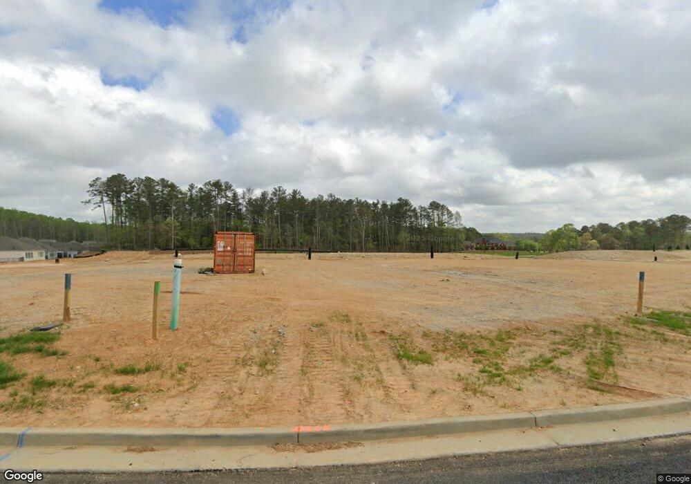
4749 MacLand Rd Hiram, GA 30141
East Paulding County NeighborhoodEstimated Value: $372,640
3
Beds
3
Baths
2,647
Sq Ft
$141/Sq Ft
Est. Value
About This Home
This home is located at 4749 MacLand Rd, Hiram, GA 30141 and is currently priced at $372,640, approximately $140 per square foot. 4749 MacLand Rd is a home located in Paulding County with nearby schools including Mcgarity Elementary School, P. B. Ritch Middle School, and East Paulding High School.
Ownership History
Date
Name
Owned For
Owner Type
Purchase Details
Closed on
Oct 26, 2021
Sold by
Farris James Ronald
Bought by
Wintergreen Development Llc
Current Estimated Value
Purchase Details
Closed on
Oct 13, 2020
Sold by
Piedmont Residential Llc
Bought by
Hickman Sellers and Hickman Hannah
Purchase Details
Closed on
Jul 15, 2015
Sold by
Farris Kaye Frances
Bought by
Farris Kaye Frances and Farris James Ronald
Create a Home Valuation Report for This Property
The Home Valuation Report is an in-depth analysis detailing your home's value as well as a comparison with similar homes in the area
Home Values in the Area
Average Home Value in this Area
Purchase History
| Date | Buyer | Sale Price | Title Company |
|---|---|---|---|
| Wintergreen Development Llc | $751,000 | -- | |
| Hickman Sellers | $254,580 | -- | |
| Farris Kaye Frances | -- | -- |
Source: Public Records
Tax History Compared to Growth
Tax History
| Year | Tax Paid | Tax Assessment Tax Assessment Total Assessment is a certain percentage of the fair market value that is determined by local assessors to be the total taxable value of land and additions on the property. | Land | Improvement |
|---|---|---|---|---|
| 2021 | $1,309 | $175,928 | $83,400 | $92,528 |
| 2020 | $4,725 | $159,080 | $79,440 | $79,640 |
| 2019 | $4,327 | $143,632 | $71,480 | $72,152 |
| 2018 | $800 | $173,212 | $104,360 | $68,852 |
| 2017 | $756 | $162,568 | $99,920 | $62,648 |
| 2016 | $613 | $151,908 | $99,920 | $51,988 |
| 2015 | $963 | $146,428 | $98,160 | $48,268 |
| 2014 | $890 | $133,588 | $0 | $43,468 |
| 2013 | -- | $132,664 | $98,784 | $33,880 |
Source: Public Records
Map
Nearby Homes
- 76 English Barn Way
- 66 English Barn Way
- 56 English Barn Way
- The Cedarwood Plan at Echols Farm
- The Brookhaven Plan at Echols Farm
- The Rosewood Plan at Echols Farm
- The Asher Plan at Echols Farm
- The Beechwood Plan at Echols Farm
- The Maplewood Plan at Echols Farm
- The Ashlynn Plan at Echols Farm
- 44 English Barn Way
- 108 English Barn Way
- 34 English Barn Way
- 225 Harvest Trail
- 162 English Barn Way
- 152 English Barn Way
- 142 English Barn Way
- 132 English Barn Way
- 290 Harvest Trail
- 1827 Poplar Springs Rd
- 102 Weathervane Way
- 62 Weathervane Way
- 40 Weathervane Way
- 70 Weathervane Way
- 12 Weathervane Way
- 198 Harvest Trail
- 20 Weathervane Way
- 10 Lantern Terrace Unit 36693571
- 26 Weathervane Way
- 4747 MacLand Rd
- 4829 MacLand Rd
- 85 Weathervane Way
- 57 Weathervane Way
- 75 Weathervane Way
- 82 Weathervane Way
- 43 Weathervane Way
- 140 Harvest Trail
- 139 Harvest Trail
- 90 Weathervane Way
- 4645 MacLand Rd
