475 Arant Rd China Grove, NC 28023
Estimated Value: $768,000 - $1,170,456
--
Bed
1
Bath
5,828
Sq Ft
$161/Sq Ft
Est. Value
About This Home
This home is located at 475 Arant Rd, China Grove, NC 28023 and is currently estimated at $941,152, approximately $161 per square foot. 475 Arant Rd is a home with nearby schools including Bostian Elementary School, China Grove Middle School, and Jesse C Carson High School.
Ownership History
Date
Name
Owned For
Owner Type
Purchase Details
Closed on
Aug 8, 2012
Sold by
Coley Teresa F and Jolly Teresa Foster
Bought by
Wise Tony and Wise Tammy
Current Estimated Value
Home Financials for this Owner
Home Financials are based on the most recent Mortgage that was taken out on this home.
Original Mortgage
$70,000
Outstanding Balance
$13,698
Interest Rate
3.68%
Mortgage Type
Construction
Estimated Equity
$927,454
Purchase Details
Closed on
Jan 19, 2005
Sold by
Jolly Joseph William and Jolly Susann
Bought by
Wise Tony A and Wise Tammy S
Create a Home Valuation Report for This Property
The Home Valuation Report is an in-depth analysis detailing your home's value as well as a comparison with similar homes in the area
Home Values in the Area
Average Home Value in this Area
Purchase History
| Date | Buyer | Sale Price | Title Company |
|---|---|---|---|
| Wise Tony | -- | None Available | |
| Wise Tony A | -- | -- |
Source: Public Records
Mortgage History
| Date | Status | Borrower | Loan Amount |
|---|---|---|---|
| Open | Wise Tony | $70,000 |
Source: Public Records
Tax History Compared to Growth
Tax History
| Year | Tax Paid | Tax Assessment Tax Assessment Total Assessment is a certain percentage of the fair market value that is determined by local assessors to be the total taxable value of land and additions on the property. | Land | Improvement |
|---|---|---|---|---|
| 2025 | $5,346 | $797,928 | $190,240 | $607,688 |
| 2024 | $5,346 | $797,928 | $190,240 | $607,688 |
| 2023 | $5,346 | $797,928 | $190,240 | $607,688 |
| 2022 | $3,934 | $526,319 | $160,284 | $366,035 |
| 2021 | $3,905 | $526,319 | $160,284 | $366,035 |
| 2020 | $3,905 | $526,319 | $160,284 | $366,035 |
| 2019 | $3,905 | $526,319 | $160,284 | $366,035 |
| 2018 | $3,574 | $485,775 | $160,284 | $325,491 |
| 2017 | $3,574 | $485,775 | $160,284 | $325,491 |
| 2016 | $3,580 | $485,775 | $160,284 | $325,491 |
| 2015 | $3,647 | $485,775 | $160,284 | $325,491 |
| 2014 | $3,394 | $476,718 | $149,614 | $327,104 |
Source: Public Records
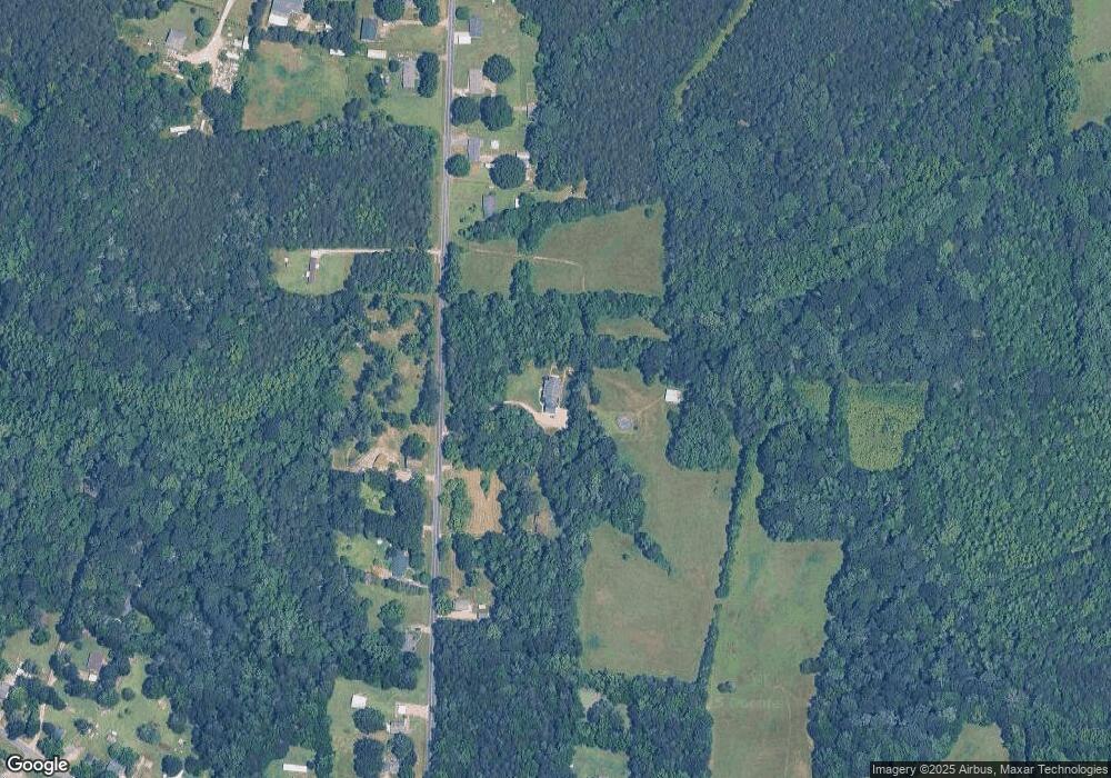
Map
Nearby Homes
- 1660 Lentz Rd
- 2570 Lentz Rd
- 2720 Lentz Rd
- 2510 Lentz Rd
- 1280 Elm Forest Ln
- 1307 Elm Forest Ln
- 1306 Elm Forest Ln
- 1274 Elm Forest Ln
- 1335 Brookwood Dr
- 1256 Elm Forest Ln
- 0 Highway 152 E Unit 1200411
- 0 First Corriher St Unit CAR4301927
- 2143 Stephens Farm Dr
- 1202 Elm Forest Ln
- 1231 Elm Forest Ln
- 215 Ketchie Estates Rd
- 1213 Elm Forest Ln
- 175 Ketchie Estates Rd
- Fairview Plan at Liberty Grove - Single Family Homes
- Woodford Plan at Liberty Grove - Single Family Homes