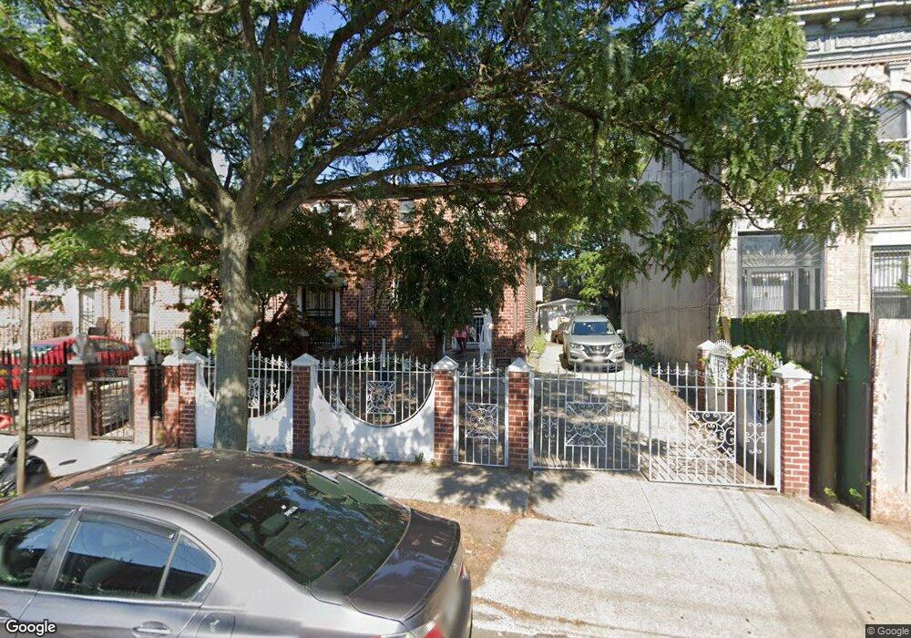
475 Ashford St Brooklyn, NY 11207
East New York NeighborhoodEstimated Value: $570,000 - $685,000
--
Bed
--
Bath
1,152
Sq Ft
$552/Sq Ft
Est. Value
About This Home
This home is located at 475 Ashford St, Brooklyn, NY 11207 and is currently estimated at $635,408, approximately $551 per square foot. 475 Ashford St is a home located in Kings County with nearby schools including P.S. 158 Warwick, Liberty Avenue Middle School, and Vista Academy.
Ownership History
Date
Name
Owned For
Owner Type
Purchase Details
Closed on
Dec 1, 2019
Sold by
Smiley Calvin
Bought by
Smiley Gregory
Current Estimated Value
Purchase Details
Closed on
Oct 9, 2018
Sold by
Smiley Gregory
Bought by
Smiley Calvin
Purchase Details
Closed on
Jul 24, 2009
Sold by
Smiley Calvin
Bought by
Smiley Gregory
Purchase Details
Closed on
Dec 8, 2006
Sold by
Mebane Josephine
Bought by
Mebane Reginald V
Create a Home Valuation Report for This Property
The Home Valuation Report is an in-depth analysis detailing your home's value as well as a comparison with similar homes in the area
Home Values in the Area
Average Home Value in this Area
Purchase History
| Date | Buyer | Sale Price | Title Company |
|---|---|---|---|
| Smiley Gregory | -- | -- | |
| Smiley Gregory | -- | -- | |
| Smiley Calvin | -- | -- | |
| Smiley Calvin | -- | -- | |
| Smiley Gregory | -- | -- | |
| Smiley Gregory | -- | -- | |
| Mebane Reginald V | -- | -- | |
| Mebane Reginald | -- | -- |
Source: Public Records
Tax History Compared to Growth
Tax History
| Year | Tax Paid | Tax Assessment Tax Assessment Total Assessment is a certain percentage of the fair market value that is determined by local assessors to be the total taxable value of land and additions on the property. | Land | Improvement |
|---|---|---|---|---|
| 2025 | $2,394 | $35,400 | $12,840 | $22,560 |
| 2024 | $2,394 | $41,340 | $12,840 | $28,500 |
| 2023 | $2,420 | $37,020 | $12,840 | $24,180 |
| 2022 | $2,361 | $30,300 | $12,840 | $17,460 |
| 2021 | $2,348 | $33,240 | $12,840 | $20,400 |
| 2020 | $1,101 | $27,780 | $12,840 | $14,940 |
| 2019 | $2,078 | $30,060 | $12,840 | $17,220 |
| 2018 | $2,025 | $9,932 | $4,391 | $5,541 |
| 2017 | $2,009 | $9,855 | $4,526 | $5,329 |
| 2016 | $1,859 | $9,298 | $4,950 | $4,348 |
| 2015 | $1,051 | $8,773 | $3,615 | $5,158 |
| 2014 | $1,051 | $8,277 | $3,787 | $4,490 |
Source: Public Records
Map
Nearby Homes
- 559 Cleveland St
- 516 Elton St
- 569 Warwick St
- 448 Ashford St Unit 3
- 508 Warwick St
- 549 Ashford St
- 433 Jerome St
- 892 Blake Ave
- 632 Belmont Ave
- 762 Belmont Ave
- 938 Dumont Ave
- 613 Elton St
- 374 Ashford St
- 294 Berriman St
- 326 Berriman St
- 560 Jerome St Unit 562
- 652 Warwick St
- 730 Linwood St
- 572 Jerome St
- 823 New Lots Ave
- 471 Ashford St
- 483 Ashford St
- 473 Ashford St
- 473 Ashford St Unit 475
- 469 Ashford St
- 485 Ashford St
- 489 Ashford St
- 465 Ashford St
- 570 Cleveland St
- 570 Cleveland St Unit 2
- 568 Cleveland St
- 572 Cleveland St
- 491 Ashford St
- 566 Cleveland St
- 576 Cleveland St
- 578 Cleveland St
- 578 Cleveland St
- 578 Cleveland St Unit 2
- 578 Cleveland St Unit 1