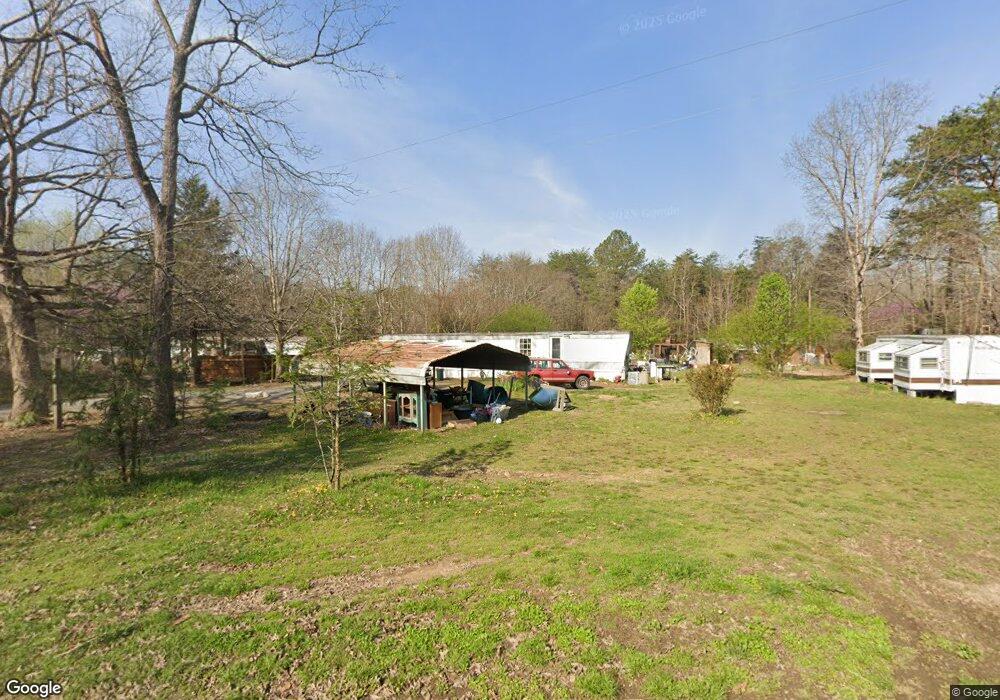
475 Branch Rd Dunlap, TN 37327
Estimated Value: $21,761 - $171,000
Studio
2
Baths
--
Sq Ft
87,556
Sq Ft Lot
About This Home
This home is located at 475 Branch Rd, Dunlap, TN 37327 and is currently estimated at $93,190. 475 Branch Rd is a home located in Sequatchie County with nearby schools including Griffith Elementary School, Sequatchie County Middle School, and Sequatchie County High School.
Ownership History
Date
Name
Owned For
Owner Type
Purchase Details
Closed on
Sep 17, 2013
Sold by
Whittenburg Olin J
Bought by
Brock Paul E
Current Estimated Value
Purchase Details
Closed on
Jan 17, 2013
Sold by
Whittenburg Olin J
Bought by
Brock Paul E
Purchase Details
Closed on
Aug 5, 2011
Sold by
Mountain Valley Bank
Bought by
Whittenburg Olin J
Home Financials for this Owner
Home Financials are based on the most recent Mortgage that was taken out on this home.
Original Mortgage
$30,000
Interest Rate
4.62%
Mortgage Type
Commercial
Purchase Details
Closed on
Mar 21, 2011
Bought by
Mountain Valley Bank
Purchase Details
Closed on
Jan 21, 2000
Bought by
Frannkie Wallace
Purchase Details
Closed on
Nov 16, 1999
Bought by
Turner Jimmy and Wife Mary Ruth
Purchase Details
Closed on
Dec 1, 1997
Bought by
Dinkens Barbara
Create a Home Valuation Report for This Property
The Home Valuation Report is an in-depth analysis detailing your home's value as well as a comparison with similar homes in the area
Home Values in the Area
Average Home Value in this Area
Purchase History
| Date | Buyer | Sale Price | Title Company |
|---|---|---|---|
| Brock Paul E | $8,500 | -- | |
| Brock Paul E | $8,500 | -- | |
| Whittenburg Olin J | $30,000 | -- | |
| Mountain Valley Bank | $66,000 | -- | |
| Frannkie Wallace | $45,000 | -- | |
| Turner Jimmy | $7,200 | -- | |
| Dinkens Barbara | $4,000 | -- |
Source: Public Records
Mortgage History
| Date | Status | Borrower | Loan Amount |
|---|---|---|---|
| Previous Owner | Whittenburg Olin J | $30,000 |
Source: Public Records
Tax History
| Year | Tax Paid | Tax Assessment Tax Assessment Total Assessment is a certain percentage of the fair market value that is determined by local assessors to be the total taxable value of land and additions on the property. | Land | Improvement |
|---|---|---|---|---|
| 2025 | $100 | $5,450 | $5,450 | $0 |
| 2024 | $100 | $5,450 | $5,450 | $0 |
| 2023 | $100 | $5,450 | $5,450 | $0 |
| 2022 | $105 | $4,300 | $4,300 | $0 |
| 2021 | $105 | $4,300 | $4,300 | $0 |
| 2020 | $153 | $6,275 | $4,300 | $1,975 |
| 2019 | $153 | $6,275 | $4,300 | $1,975 |
| 2018 | $153 | $6,275 | $4,300 | $1,975 |
| 2017 | $158 | $6,450 | $4,300 | $2,150 |
| 2016 | $464 | $18,050 | $4,500 | $13,550 |
| 2015 | $464 | $18,050 | $4,500 | $13,550 |
| 2014 | $464 | $18,050 | $4,500 | $13,550 |
Source: Public Records
Map
Nearby Homes
- 18298 Rankin Ave
- 87 Happy Valley Rd
- 1473 Old York Hwy N
- 116 Maple St
- 563 Old Union Rd
- 496 Boyd Rd
- 79 Bear Oak Dr
- 249 Bear Oak Dr
- 157 Bear Oak Dr
- 1086 River Ridge Dr
- 1086 River Ridge Dr Unit Lot 58
- 029003.0 Smith Mountain Rd
- 029003.00 Smith Mountain Rd
- 029 Smith Mountain Rd
- 2900300 Smith Mountain Rd
- 029 003 Smith Mountain Rd
- 202 Austin Rd
- 2398 Old York Hwy
- 2426 Old York Hwy
- 2482 Old York Hwy
- 478 Branch Rd
- 471 Branch Rd
- 00 Long Branch Rd
- 193 Stone Cir S
- 584 Branch Rd
- 177 Stone Cir S
- 200 Stone Cir S
- Oo Long Branch Rd
- 165 Stone Cir S
- 194 Stone Cir S
- 604 Branch Rd
- 326 Rock Creek Rd
- 176 Stone Cir N
- 312 Branch Rd
- 139 Stone Cir S
- 176 Stone Cir S
- 321 Rock Creek Rd
- 140 Stone Cir S
- 322 Rock Creek Rd
- 127 Stone Cir S
Your Personal Tour Guide
Ask me questions while you tour the home.