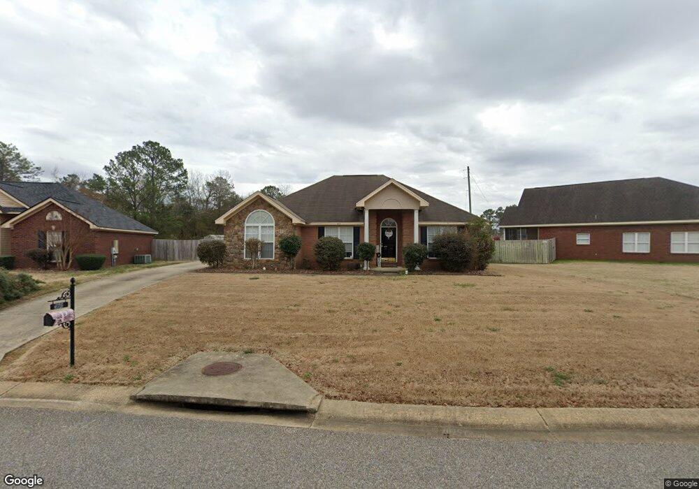
475 Brownstone Loop Elmore, AL 36025
Estimated Value: $267,361 - $278,000
Studio
1
Bath
1,962
Sq Ft
$139/Sq Ft
Est. Value
About This Home
This home is located at 475 Brownstone Loop, Elmore, AL 36025 and is currently estimated at $272,090, approximately $138 per square foot. 475 Brownstone Loop is a home located in Elmore County with nearby schools including Coosada Elementary School, Airport Road Intermediate School, and Millbrook Middle Junior High School.
Ownership History
Date
Name
Owned For
Owner Type
Purchase Details
Closed on
Jul 9, 2021
Sold by
Obannon Joseph W and Obannon Carolyn M
Bought by
Pastorelli Juan E and Pastorelli Jill I
Current Estimated Value
Home Financials for this Owner
Home Financials are based on the most recent Mortgage that was taken out on this home.
Original Mortgage
$160,000
Outstanding Balance
$143,273
Interest Rate
2.9%
Mortgage Type
New Conventional
Estimated Equity
$128,817
Create a Home Valuation Report for This Property
The Home Valuation Report is an in-depth analysis detailing your home's value as well as a comparison with similar homes in the area
Home Values in the Area
Average Home Value in this Area
Purchase History
| Date | Buyer | Sale Price | Title Company |
|---|---|---|---|
| Pastorelli Juan E | $230,000 | None Available |
Source: Public Records
Mortgage History
| Date | Status | Borrower | Loan Amount |
|---|---|---|---|
| Open | Pastorelli Juan E | $160,000 |
Source: Public Records
Tax History
| Year | Tax Paid | Tax Assessment Tax Assessment Total Assessment is a certain percentage of the fair market value that is determined by local assessors to be the total taxable value of land and additions on the property. | Land | Improvement |
|---|---|---|---|---|
| 2025 | $708 | $23,380 | $0 | $0 |
| 2024 | $708 | $21,860 | $0 | $0 |
| 2023 | $663 | $221,100 | $20,000 | $201,100 |
| 2022 | $556 | $19,980 | $2,000 | $17,980 |
| 2021 | $497 | $17,990 | $2,000 | $15,990 |
| 2020 | $480 | $17,410 | $2,000 | $15,410 |
| 2019 | $485 | $18,090 | $2,500 | $15,590 |
| 2018 | $478 | $17,370 | $2,500 | $14,870 |
| 2017 | $487 | $17,680 | $2,501 | $15,179 |
| 2016 | $528 | $17,370 | $2,500 | $14,870 |
| 2014 | $549 | $180,600 | $30,000 | $150,600 |
Source: Public Records
Map
Nearby Homes
- 125 Brownstone Loop
- 145 Brownstone Loop
- 40 Brownstone Way
- 105 Brownstone Loop
- 310 Brownstone Loop
- 280 Brownstone Loop
- 274 Brownstone Loop
- 6835 Sanders Dr
- 225 Brownstone Loop
- 246 Brownstone Loop
- 325 Brownstone Loop
- 239 Brownstone Loop
- 245 Brownstone Loop
- 186 Lake Bend Cove
- 4980 Longview Rd
- 6735 Pineleaf Dr
- 4820 Alabama 14
- 6480 Pineleaf Dr
- 173 Brittany Dr S
- 115 Pine Meadows Cir
- 495 Brownstone Loop
- 469 Brownstone Loop
- 529 Brownstone Loop
- 455 Brownstone Loop
- 5291 Al Highway 14
- 5311 Al Highway 14
- 539 Brownstone Loop
- 476 Brownstone Loop
- 488 Brownstone Loop
- 450 Brownstone Loop
- 492 Brownstone Loop
- 441 Brownstone Loop
- 498 Brownstone Loop
- 559 Brownstone Loop
- 75 Brownstone Way
- 426 Brownstone Loop
- 429 Brownstone Loop
- 26 Brownstone Ct
- 61 Brownstone Way
- 26 Brownstone Ct
Your Personal Tour Guide
Ask me questions while you tour the home.