Estimated Value: $84,000 - $448,000
2
Beds
2
Baths
1,200
Sq Ft
$232/Sq Ft
Est. Value
About This Home
This home is located at 475 Buford Rd, Arabi, GA 31712 and is currently estimated at $278,156, approximately $231 per square foot. 475 Buford Rd is a home located in Crisp County with nearby schools including Crisp County Primary School, Crisp County Elementary School, and Crisp County Middle School.
Ownership History
Date
Name
Owned For
Owner Type
Purchase Details
Closed on
Jul 25, 2008
Sold by
Moore Elaine Barber
Bought by
Moore Gary Allen
Current Estimated Value
Purchase Details
Closed on
Dec 20, 2007
Sold by
Moore Eddie F As Executrix
Bought by
Moore Eddie F
Purchase Details
Closed on
Jul 12, 2004
Sold by
Moore Eddie Faye
Bought by
Moore Gary Alan
Purchase Details
Closed on
Oct 1, 1979
Sold by
Moore Eddie F As Executrix
Bought by
Moore Eddie F and Moore Gary L
Create a Home Valuation Report for This Property
The Home Valuation Report is an in-depth analysis detailing your home's value as well as a comparison with similar homes in the area
Home Values in the Area
Average Home Value in this Area
Purchase History
| Date | Buyer | Sale Price | Title Company |
|---|---|---|---|
| Moore Gary Allen | -- | -- | |
| Moore Eddie F | -- | -- | |
| Moore Gary Alan | -- | -- | |
| Moore Eddie F | -- | -- |
Source: Public Records
Tax History Compared to Growth
Tax History
| Year | Tax Paid | Tax Assessment Tax Assessment Total Assessment is a certain percentage of the fair market value that is determined by local assessors to be the total taxable value of land and additions on the property. | Land | Improvement |
|---|---|---|---|---|
| 2024 | $1,229 | $125,178 | $115,754 | $9,424 |
| 2023 | $1,272 | $117,691 | $108,501 | $9,190 |
| 2022 | $1,177 | $60,059 | $51,104 | $8,955 |
| 2021 | $1,153 | $59,696 | $51,104 | $8,592 |
| 2020 | $1,151 | $58,603 | $50,011 | $8,592 |
| 2019 | $1,117 | $58,603 | $50,011 | $8,592 |
| 2018 | $1,410 | $113,930 | $96,310 | $17,620 |
| 2017 | $3,496 | $113,692 | $96,310 | $17,382 |
| 2016 | $1,381 | $113,692 | $96,310 | $17,382 |
| 2015 | -- | $113,462 | $96,310 | $17,152 |
| 2014 | -- | $113,551 | $96,310 | $17,241 |
| 2013 | -- | $110,217 | $96,310 | $13,906 |
Source: Public Records
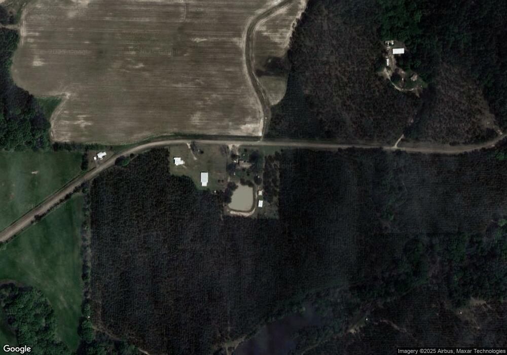
Map
Nearby Homes
- 501 Southern Lakes Dr
- 221 1st St W
- 104 4th St
- TBD Arabi Warwick Rd
- 718 Jamestown Rd
- 2776 2776 S Ga 41 Hwy
- 2608 U S 41
- 317 Mill Branch Rd
- 303 Mill Branch Rd
- 0 Lost Rd
- 130 Swift Creek Rd
- 000 Swift Creek Rd
- 1617 Antioch Rd
- 672 Brock Rd
- 234 Swift Creek Rd
- 000 Bream Rd
- 2453 Georgia 90
- 0 Julianne Rd Unit 10585704
- 0 Julianne Rd Unit 25546419
- 102 Perch Dr