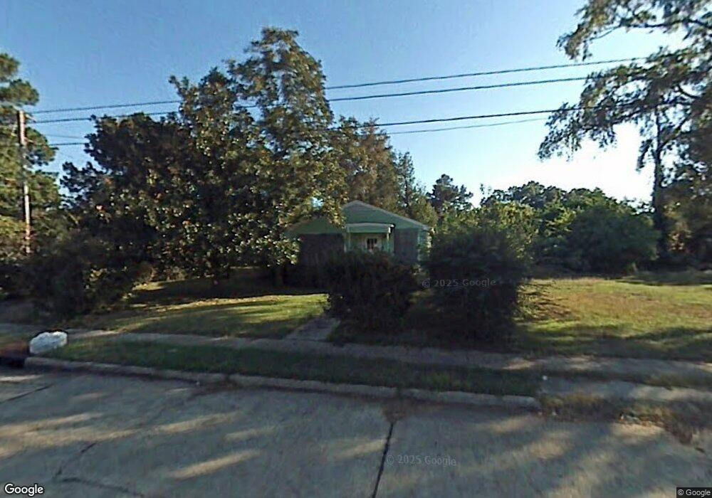
475 E 81st St Shreveport, LA 71106
Cedar Grove/Lynbrook NeighborhoodEstimated Value: $43,000 - $74,670
3
Beds
1
Bath
1,355
Sq Ft
$45/Sq Ft
Est. Value
About This Home
This home is located at 475 E 81st St, Shreveport, LA 71106 and is currently estimated at $61,168, approximately $45 per square foot. 475 E 81st St is a home located in Caddo Parish with nearby schools including Fairfield Magnet School, Forest Hill Elementary School, and Judson Fundamental Elementary School.
Ownership History
Date
Name
Owned For
Owner Type
Purchase Details
Closed on
Apr 21, 2010
Sold by
The Hollis Group Llc
Bought by
Maxie Dolamar
Current Estimated Value
Home Financials for this Owner
Home Financials are based on the most recent Mortgage that was taken out on this home.
Original Mortgage
$31,420
Outstanding Balance
$20,802
Interest Rate
4.88%
Mortgage Type
FHA
Estimated Equity
$40,366
Purchase Details
Closed on
Jun 15, 2006
Sold by
Jones Lottie Maxine Thomas and Jones Donald Juan
Bought by
Hollis Group Llc
Create a Home Valuation Report for This Property
The Home Valuation Report is an in-depth analysis detailing your home's value as well as a comparison with similar homes in the area
Home Values in the Area
Average Home Value in this Area
Purchase History
| Date | Buyer | Sale Price | Title Company |
|---|---|---|---|
| Maxie Dolamar | -- | None Available | |
| Hollis Group Llc | $21,500 | None Available |
Source: Public Records
Mortgage History
| Date | Status | Borrower | Loan Amount |
|---|---|---|---|
| Open | Maxie Dolamar | $31,420 |
Source: Public Records
Tax History Compared to Growth
Tax History
| Year | Tax Paid | Tax Assessment Tax Assessment Total Assessment is a certain percentage of the fair market value that is determined by local assessors to be the total taxable value of land and additions on the property. | Land | Improvement |
|---|---|---|---|---|
| 2024 | $458 | $2,935 | $731 | $2,204 |
| 2023 | $462 | $2,900 | $696 | $2,204 |
| 2022 | $462 | $2,900 | $696 | $2,204 |
| 2021 | $455 | $2,900 | $696 | $2,204 |
| 2020 | $455 | $2,900 | $696 | $2,204 |
| 2019 | $469 | $2,900 | $696 | $2,204 |
| 2018 | $0 | $2,900 | $696 | $2,204 |
| 2017 | $476 | $2,900 | $696 | $2,204 |
| 2015 | -- | $3,300 | $700 | $2,600 |
| 2014 | -- | $3,300 | $700 | $2,600 |
| 2013 | -- | $3,300 | $700 | $2,600 |
Source: Public Records
Map
Nearby Homes
- 685 Bernard Blvd
- 72 Spring Lake Way
- 638 Ashbourne Dr
- 634 Balmoral Dr
- 618 Balmoral Dr
- 567 E 73rd St
- 0 Balmoral Dr
- 7526 Harris St
- 109 W 85th St
- 8309 Ashbourne Dr
- 589 Spring Lake Dr
- 7205 Southern Ave
- 7713 Gideon St
- 569 Spring Lake Dr
- 565 Spring Lake Dr
- 346 W 80th St
- 361 E 70th St
- 636 E 70th St
- 0 Palestine St Unit 20985909
- 233 W 73rd St