475 Enterprise Loop Woodstock, AL 35188
Estimated Value: $257,721 - $403,000
--
Bed
--
Bath
2,779
Sq Ft
$114/Sq Ft
Est. Value
About This Home
This home is located at 475 Enterprise Loop, Woodstock, AL 35188 and is currently estimated at $318,180, approximately $114 per square foot. 475 Enterprise Loop is a home.
Ownership History
Date
Name
Owned For
Owner Type
Purchase Details
Closed on
Mar 20, 2020
Sold by
Jones Michael and Jones Michael Stephen
Bought by
Jones Michael Stephen and Jones Leslie Manning
Current Estimated Value
Home Financials for this Owner
Home Financials are based on the most recent Mortgage that was taken out on this home.
Original Mortgage
$138,000
Interest Rate
3.3%
Mortgage Type
New Conventional
Create a Home Valuation Report for This Property
The Home Valuation Report is an in-depth analysis detailing your home's value as well as a comparison with similar homes in the area
Home Values in the Area
Average Home Value in this Area
Purchase History
| Date | Buyer | Sale Price | Title Company |
|---|---|---|---|
| Jones Michael Stephen | -- | Servicelink |
Source: Public Records
Mortgage History
| Date | Status | Borrower | Loan Amount |
|---|---|---|---|
| Previous Owner | Jones Michael Stephen | $138,000 |
Source: Public Records
Tax History Compared to Growth
Tax History
| Year | Tax Paid | Tax Assessment Tax Assessment Total Assessment is a certain percentage of the fair market value that is determined by local assessors to be the total taxable value of land and additions on the property. | Land | Improvement |
|---|---|---|---|---|
| 2024 | $452 | $19,620 | $1,340 | $18,280 |
| 2023 | $452 | $19,620 | $1,340 | $18,280 |
| 2022 | $363 | $16,200 | $1,340 | $14,860 |
| 2021 | $355 | $15,880 | $1,340 | $14,540 |
| 2020 | $360 | $16,060 | $1,340 | $14,720 |
| 2019 | $364 | $16,240 | $1,340 | $14,900 |
| 2018 | $374 | $16,600 | $1,240 | $15,360 |
| 2017 | $374 | $16,600 | $1,240 | $15,360 |
| 2016 | $374 | $16,600 | $1,240 | $15,360 |
| 2015 | $374 | $16,600 | $1,240 | $15,360 |
| 2014 | $375 | $14,920 | $1,220 | $14,920 |
| 2013 | $375 | $0 | $0 | $0 |
Source: Public Records
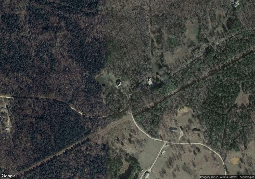
Map
Nearby Homes
- 0 Banks Creek Rd Unit 1 21422989
- 65 Enterprise Loop
- 0 Sansing Cir Unit 9-19, 24-27
- 91 Alecia Dr
- 18717 Caffee Dr
- 18704 Caffee Dr
- 18710 Caffee Dr
- 18705 Caffee Dr
- 18711 Caffee Dr
- 18698 Caffee Dr
- 18692 Caffee Dr
- 18723 Caffee Dr
- 18729 Caffee Dr
- 18570 Blocton Dr
- 18570 Blockton Dr
- 18571 Blockton Dr
- 18571 Blocton Dr
- 18686 Caffee Dr
- 18662 Caffee Dr
- 18644 Caffee Dr
- 529 Enterprise Loop
- 0 Banks Creek Rd Unit 2 21381708
- 0 Banks Creek Rd Unit 3 21373833
- 0 Banks Creek Rd Unit 2 21373831
- 0 Banks Creek Rd Unit 1 21373830
- 0 Banks Creek Rd Unit 4.4 21368400
- 0 Banks Creek Rd Unit 1.5 21368408
- 0 Banks Creek Rd Unit 1.5 21368406
- 317 Banks Creek Dr
- 797 Enterprise Loop
- 100 Banks Chapel Rd
- 1570 Banks Chapel Rd
- 30 Vining Dr
- 1816 Banks Chapel Rd
- 1565 Bibbville Rd
- 1045 Enterprise Loop
- 19480 Banks Creek Rd
- 19480 Banks Creek Dr
- 88 Sansing Cir Unit 28
- 71 Sansing Cir Unit 8