Estimated Value: $393,000 - $879,202
3
Beds
3
Baths
2,195
Sq Ft
$295/Sq Ft
Est. Value
About This Home
This home is located at 475 Ga Highway 127, Mauk, GA 31058 and is currently estimated at $648,401, approximately $295 per square foot. 475 Ga Highway 127 is a home with nearby schools including L.K. Moss Elementary School and Marion County Middle/High School.
Ownership History
Date
Name
Owned For
Owner Type
Purchase Details
Closed on
Nov 5, 2021
Sold by
Grier Mary Frances
Bought by
Killmon Patricia A and Killmon Robert L
Current Estimated Value
Purchase Details
Closed on
Feb 17, 2004
Sold by
Grier Myrtle Nell
Bought by
Grier Clide and Mccall Bernice G
Purchase Details
Closed on
Sep 26, 2002
Sold by
Grier Norman C
Bought by
Grier Myrtle Nell
Purchase Details
Closed on
Feb 15, 1996
Sold by
Grier Norman C
Bought by
Grier Norman C
Purchase Details
Closed on
Jan 23, 1950
Bought by
Grier Norman C
Create a Home Valuation Report for This Property
The Home Valuation Report is an in-depth analysis detailing your home's value as well as a comparison with similar homes in the area
Home Values in the Area
Average Home Value in this Area
Purchase History
| Date | Buyer | Sale Price | Title Company |
|---|---|---|---|
| Killmon Patricia A | $385,000 | -- | |
| Grier Mary Frances | -- | -- | |
| Grier Clide | -- | -- | |
| Grier Myrtle Nell | -- | -- | |
| Grier Norman C | -- | -- | |
| Grier Norman C | -- | -- |
Source: Public Records
Tax History Compared to Growth
Tax History
| Year | Tax Paid | Tax Assessment Tax Assessment Total Assessment is a certain percentage of the fair market value that is determined by local assessors to be the total taxable value of land and additions on the property. | Land | Improvement |
|---|---|---|---|---|
| 2024 | $2,716 | $153,084 | $100,373 | $52,711 |
| 2023 | $1,448 | $100,373 | $100,373 | $0 |
| 2022 | $1,444 | $0 | $0 | $0 |
| 2021 | $1,327 | $98,264 | $98,264 | $0 |
| 2020 | $1,297 | $98,264 | $98,264 | $0 |
| 2019 | $1,255 | $98,264 | $98,264 | $0 |
| 2018 | $1,220 | $98,264 | $98,264 | $0 |
| 2017 | $1,184 | $98,264 | $98,264 | $0 |
| 2016 | $1,131 | $129,183 | $129,183 | $0 |
| 2015 | -- | $129,183 | $129,183 | $0 |
| 2014 | -- | $129,183 | $129,183 | $0 |
| 2013 | -- | $129,183 | $129,183 | $0 |
Source: Public Records
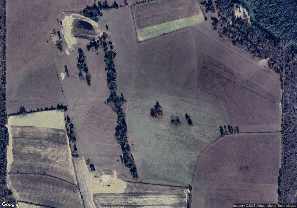
Map
Nearby Homes
- 5264 Georgia 41
- 349 New Hope Rd
- 245 Dog Track Rd
- 0 Fuller Rd Unit 22846458
- 0 Pineknot Rd
- 301 Blueville Rd
- 1164 Pineknot Rd
- 0 Palmer Cemetery Rd Unit 10588100
- 1675 Joe Wells Rd
- 111 Sunnyside Dr
- 65 Saddle Trail
- 2450 Fort Perry Rd
- 221 Flamingo Dr
- 81 Brady Rd
- 0 Poll Mill Rd
- 62 Brannon Montgomery Rd
- 11.36 Rd
- SR-240 Connector
- 0 Georgia 240
- 1009 Walter Wells Rd
- 601 Ga Highway 127
- 485 Ga Highway 127
- 485 Ga Hwy 127
- 28 Spring Hill Rd
- 264 Spring Hill Rd
- 172 Spring Hill Rd
- 322 Ga Highway 127
- 322 Ga Highway 127
- 324 Ga Highway 127
- 50 Spring Hill Rd
- 1566 Tower Point Rd
- 42 Zuber Anthony Rd
- 129 Woody Stubbs Rd
- 115 Zuber Anthony Rd
- 1443 Tower Point Rd
- 930 Ga Highway 127
- 894 Ga Highway 127
- 107 MacK Williams Rd
- 325 Woody Stubbs Rd