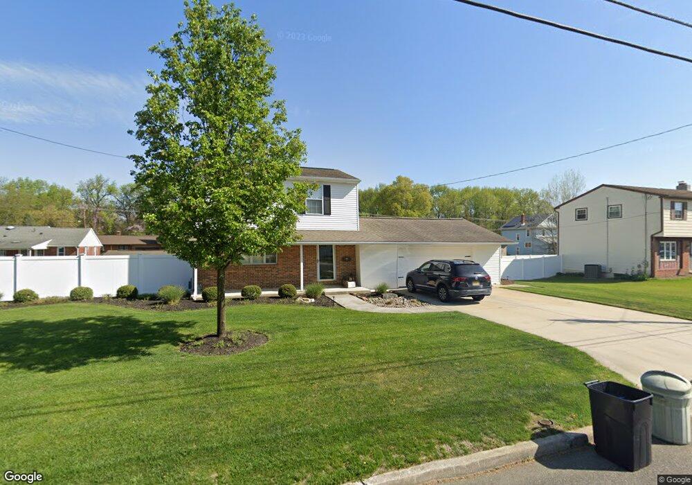
475 Lock Ave Gibbstown, NJ 08027
Greenwich Township NeighborhoodEstimated Value: $297,158 - $356,000
--
Bed
--
Bath
1,284
Sq Ft
$259/Sq Ft
Est. Value
About This Home
This home is located at 475 Lock Ave, Gibbstown, NJ 08027 and is currently estimated at $333,040, approximately $259 per square foot. 475 Lock Ave is a home located in Gloucester County with nearby schools including Nehaunsey Middle School and Guardian Angels Regional School.
Ownership History
Date
Name
Owned For
Owner Type
Purchase Details
Closed on
Aug 24, 2020
Sold by
Michael Nicholas and Michael Helmar D
Bought by
Lombardo Marlise and Colaiacovo Matthew J
Current Estimated Value
Home Financials for this Owner
Home Financials are based on the most recent Mortgage that was taken out on this home.
Original Mortgage
$225,834
Outstanding Balance
$199,957
Interest Rate
2.9%
Mortgage Type
New Conventional
Estimated Equity
$133,083
Create a Home Valuation Report for This Property
The Home Valuation Report is an in-depth analysis detailing your home's value as well as a comparison with similar homes in the area
Home Values in the Area
Average Home Value in this Area
Purchase History
| Date | Buyer | Sale Price | Title Company |
|---|---|---|---|
| Lombardo Marlise | $230,000 | None Listed On Document |
Source: Public Records
Mortgage History
| Date | Status | Borrower | Loan Amount |
|---|---|---|---|
| Open | Lombardo Marlise | $225,834 |
Source: Public Records
Tax History Compared to Growth
Tax History
| Year | Tax Paid | Tax Assessment Tax Assessment Total Assessment is a certain percentage of the fair market value that is determined by local assessors to be the total taxable value of land and additions on the property. | Land | Improvement |
|---|---|---|---|---|
| 2025 | $5,894 | $171,200 | $36,500 | $134,700 |
| 2024 | $5,585 | $171,200 | $36,500 | $134,700 |
| 2023 | $5,585 | $171,200 | $36,500 | $134,700 |
| 2022 | $5,588 | $171,200 | $36,500 | $134,700 |
| 2021 | $5,530 | $171,200 | $36,500 | $134,700 |
| 2020 | $5,607 | $171,200 | $36,500 | $134,700 |
| 2019 | $5,610 | $171,200 | $36,500 | $134,700 |
| 2018 | $5,451 | $171,200 | $36,500 | $134,700 |
| 2017 | $5,319 | $171,200 | $36,500 | $134,700 |
| 2016 | $5,261 | $171,200 | $36,500 | $134,700 |
| 2015 | $5,091 | $171,200 | $36,500 | $134,700 |
| 2014 | $4,872 | $171,200 | $36,500 | $134,700 |
Source: Public Records
Map
Nearby Homes
- 836 E Broad St
- 330 Croce Ave
- 219 Vanneman Blvd
- 344 W Washington St
- 335 W Buck St
- L18 20 W Broad St
- 255 Elizabeth Ave
- 269 W Broad St
- 1043 Penn Line Rd
- 227 W Buck St
- 1214 Walter Ave
- 1224 Heddon Ave
- 0 Swedesboro Ave Unit NJGL2061592
- 0 S Democrat Rd Unit NJGL2065008
- 140 142 W Jefferson St
- 122 W Washington St
- 1534 Pine St
- 1519 Pine St
- 53-55 Roosevelt St
- 46 Roosevelt St