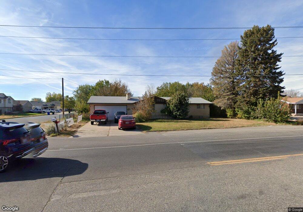
475 N 2000 W Clearfield, UT 84015
4
Beds
3
Baths
2,820
Sq Ft
17,424
Sq Ft Lot
About This Home
This home is located at 475 N 2000 W, Clearfield, UT 84015. 475 N 2000 W is a home located in Davis County with nearby schools including Lakeside School, West Point Junior High School, and Syracuse High School.
Create a Home Valuation Report for This Property
The Home Valuation Report is an in-depth analysis detailing your home's value as well as a comparison with similar homes in the area
Home Values in the Area
Average Home Value in this Area
Tax History
| Year | Tax Paid | Tax Assessment Tax Assessment Total Assessment is a certain percentage of the fair market value that is determined by local assessors to be the total taxable value of land and additions on the property. | Land | Improvement |
|---|---|---|---|---|
| 2025 | -- | $0 | $0 | $0 |
| 2024 | -- | $245,849 | $114,840 | $131,009 |
| 2023 | -- | $229,350 | $81,431 | $147,918 |
| 2022 | $0 | $447,000 | $142,582 | $304,418 |
| 2021 | $0 | $337,000 | $117,154 | $219,846 |
| 2020 | $0 | $294,000 | $99,382 | $194,618 |
| 2019 | $0 | $265,000 | $91,414 | $173,586 |
| 2018 | $0 | $234,000 | $89,409 | $144,591 |
| 2016 | $0 | $0 | $0 | $0 |
| 2015 | $1,439 | $97,570 | $34,682 | $62,888 |
| 2014 | $1,604 | $110,277 | $34,682 | $75,595 |
| 2013 | $1,297 | $84,617 | $30,082 | $54,535 |
Source: Public Records
Map
Nearby Homes
Your Personal Tour Guide
Ask me questions while you tour the home.