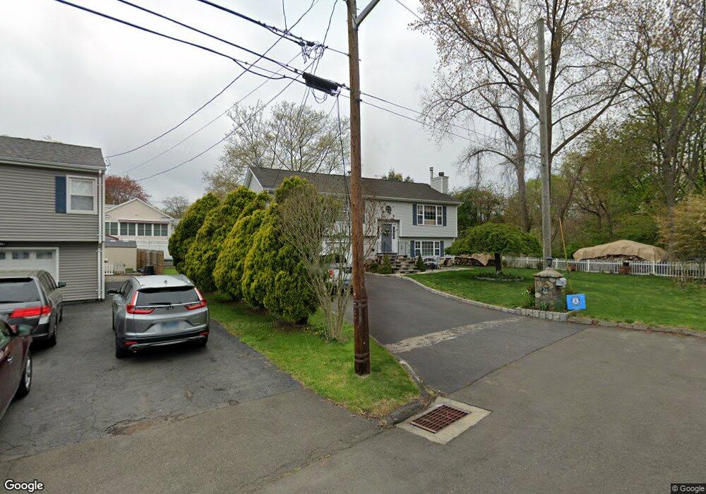
475 N Abram St Stratford, CT 06614
Estimated Value: $488,000 - $542,266
3
Beds
3
Baths
1,367
Sq Ft
$371/Sq Ft
Est. Value
About This Home
This home is located at 475 N Abram St, Stratford, CT 06614 and is currently estimated at $507,067, approximately $370 per square foot. 475 N Abram St is a home located in Fairfield County with nearby schools including Nichols Elementary School, David Wooster Middle School, and Stratford High School.
Ownership History
Date
Name
Owned For
Owner Type
Purchase Details
Closed on
Aug 9, 2002
Sold by
Ettorre Michael E
Bought by
Lage Jose and Lage Fernanda M
Current Estimated Value
Home Financials for this Owner
Home Financials are based on the most recent Mortgage that was taken out on this home.
Original Mortgage
$110,000
Interest Rate
6.58%
Purchase Details
Closed on
Sep 9, 1997
Sold by
Bamf Homes Ltd
Bought by
Ettore Michael
Home Financials for this Owner
Home Financials are based on the most recent Mortgage that was taken out on this home.
Original Mortgage
$109,000
Interest Rate
7.36%
Mortgage Type
Unknown
Purchase Details
Closed on
Jan 2, 1997
Sold by
Tanucci Frank
Bought by
Bamf Homes Ltd
Create a Home Valuation Report for This Property
The Home Valuation Report is an in-depth analysis detailing your home's value as well as a comparison with similar homes in the area
Home Values in the Area
Average Home Value in this Area
Purchase History
| Date | Buyer | Sale Price | Title Company |
|---|---|---|---|
| Lage Jose | $299,000 | -- | |
| Ettore Michael | $170,000 | -- | |
| Bamf Homes Ltd | $15,000 | -- |
Source: Public Records
Mortgage History
| Date | Status | Borrower | Loan Amount |
|---|---|---|---|
| Closed | Bamf Homes Ltd | $90,000 | |
| Closed | Bamf Homes Ltd | $110,000 | |
| Previous Owner | Bamf Homes Ltd | $109,000 |
Source: Public Records
Tax History Compared to Growth
Tax History
| Year | Tax Paid | Tax Assessment Tax Assessment Total Assessment is a certain percentage of the fair market value that is determined by local assessors to be the total taxable value of land and additions on the property. | Land | Improvement |
|---|---|---|---|---|
| 2025 | $8,816 | $219,310 | $93,380 | $125,930 |
| 2024 | $8,816 | $219,310 | $93,380 | $125,930 |
| 2023 | $8,816 | $219,310 | $93,380 | $125,930 |
| 2022 | $8,654 | $219,310 | $93,380 | $125,930 |
| 2021 | $8,656 | $219,310 | $93,380 | $125,930 |
| 2020 | $8,693 | $219,310 | $93,380 | $125,930 |
| 2019 | $8,197 | $205,590 | $84,840 | $120,750 |
| 2018 | $8,203 | $205,590 | $84,840 | $120,750 |
| 2017 | $8,217 | $205,590 | $84,840 | $120,750 |
| 2016 | $8,016 | $205,590 | $84,840 | $120,750 |
| 2015 | $7,603 | $205,590 | $84,840 | $120,750 |
| 2014 | $7,946 | $223,020 | $82,180 | $140,840 |
Source: Public Records
Map
Nearby Homes
- 26 Porter St
- 2803 Broadbridge Ave
- 56 Vought Place Unit 56
- 137 Marsh Way
- 58 Auburn St
- 125 Meadowbrook Rd
- 45 Albright Ave
- 106 Red Bird Dr
- 128 Auburn St
- 1257 Nichols Ave
- 877 Nichols Ave
- 152 Stonybrook Rd
- 933 Success Ave
- 55 Fisher Ct
- 71 Glenfield Ave
- 810 Nichols Ave
- 439 Henry Avenue Extension
- 422 Swanson Ave
- 145 Wiebe Ave
- 90 Mercer St
- 2756 Broadbridge Ave
- 455 N Abram St
- 458 N Abram St
- 49 Alice Terrace
- 438 N Abram St
- 445 N Abram St
- 435 N Abram St
- 29 Alice Terrace
- 2710 Broadbridge Ave
- 2720 Broadbridge Ave
- 2778 Broadbridge Ave
- 418 N Abram St
- 2688 Broadbridge Ave
- 425 N Abram St
- 66 Alice Terrace
- 11 Alice Terrace
- 408 N Abram St
- 2788 Broadbridge Ave
- 1354 Success Ave Unit 1354
- 2672 Broadbridge Ave