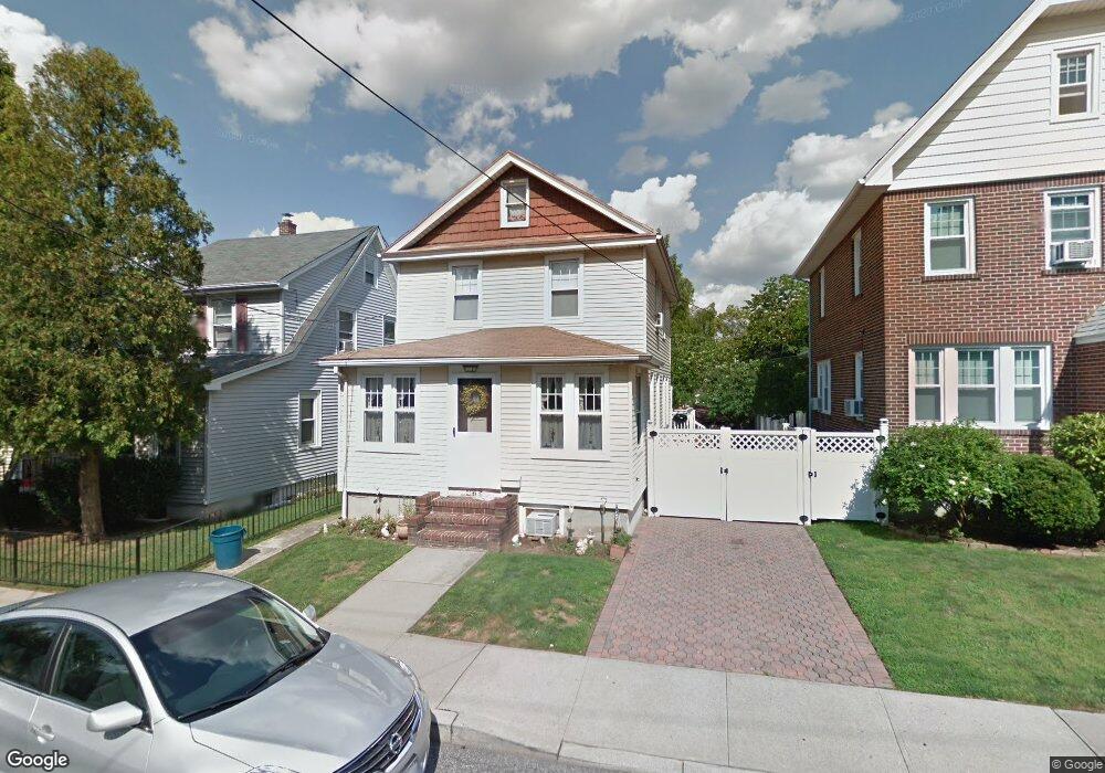
475 Pelton Ave Staten Island, NY 10310
West Brighton NeighborhoodEstimated Value: $577,327 - $755,000
--
Bed
4
Baths
1,290
Sq Ft
$504/Sq Ft
Est. Value
About This Home
This home is located at 475 Pelton Ave, Staten Island, NY 10310 and is currently estimated at $650,582, approximately $504 per square foot. 475 Pelton Ave is a home located in Richmond County with nearby schools including P.S. 45 John Tyler, Is 61 William A Morris, and Curtis High School.
Ownership History
Date
Name
Owned For
Owner Type
Purchase Details
Closed on
Apr 22, 1996
Sold by
Richards Gary
Bought by
Richards Gary and Richards Patricia
Current Estimated Value
Home Financials for this Owner
Home Financials are based on the most recent Mortgage that was taken out on this home.
Original Mortgage
$45,000
Interest Rate
7.67%
Create a Home Valuation Report for This Property
The Home Valuation Report is an in-depth analysis detailing your home's value as well as a comparison with similar homes in the area
Home Values in the Area
Average Home Value in this Area
Purchase History
| Date | Buyer | Sale Price | Title Company |
|---|---|---|---|
| Richards Gary | -- | -- |
Source: Public Records
Mortgage History
| Date | Status | Borrower | Loan Amount |
|---|---|---|---|
| Closed | Richards Gary | $45,000 |
Source: Public Records
Tax History Compared to Growth
Tax History
| Year | Tax Paid | Tax Assessment Tax Assessment Total Assessment is a certain percentage of the fair market value that is determined by local assessors to be the total taxable value of land and additions on the property. | Land | Improvement |
|---|---|---|---|---|
| 2025 | $5,288 | $36,060 | $8,900 | $27,160 |
| 2024 | $5,300 | $34,740 | $8,716 | $26,024 |
| 2023 | $5,111 | $26,568 | $7,121 | $19,447 |
| 2022 | $5,017 | $33,120 | $10,920 | $22,200 |
| 2021 | $5,059 | $31,740 | $10,920 | $20,820 |
| 2020 | $4,887 | $30,960 | $10,920 | $20,040 |
| 2019 | $4,541 | $30,960 | $10,920 | $20,040 |
| 2018 | $4,216 | $22,140 | $10,920 | $11,220 |
| 2017 | $4,262 | $22,377 | $10,717 | $11,660 |
| 2016 | $3,935 | $21,232 | $9,448 | $11,784 |
| 2015 | $3,390 | $20,409 | $11,910 | $8,499 |
| 2014 | $3,390 | $19,255 | $11,011 | $8,244 |
Source: Public Records
Map
Nearby Homes
- 432 Pelton Ave
- 244 Delafield Ave
- 20 Baker Place
- 335 Oakland Ave
- 100 Lawrence Ave
- 54 City Blvd
- 331 Oakland Ave
- 152 Harvest Ave
- 34 Harvest Ave
- 605 Bard Ave
- 386 N Burgher Ave
- 354 Hoyt Ave
- 145 Norma Place
- 401 Broadway
- 943 Castleton Ave
- 372 Sharon Ave
- 112 Delafield Ave
- 72 Gregg Place
- 361 Broadway
- 56 South St
- 471 Pelton Ave
- 479 Pelton Ave
- 467 Pelton Ave
- 483 Pelton Ave
- 487 Pelton Ave
- 465 Pelton Ave
- 145 Regan Ave
- 139 Regan Ave
- 459 Pelton Ave
- 482 Pelton Ave
- 585 Forest Ave
- 478 Pelton Ave
- 476 Pelton Ave
- 457 Pelton Ave
- 472 Pelton Ave
- 591 Forest Ave
- 595 Forest Ave
- 591-595-59 Forest Ave
- 488 Pelton Ave
- 135 Regan Ave