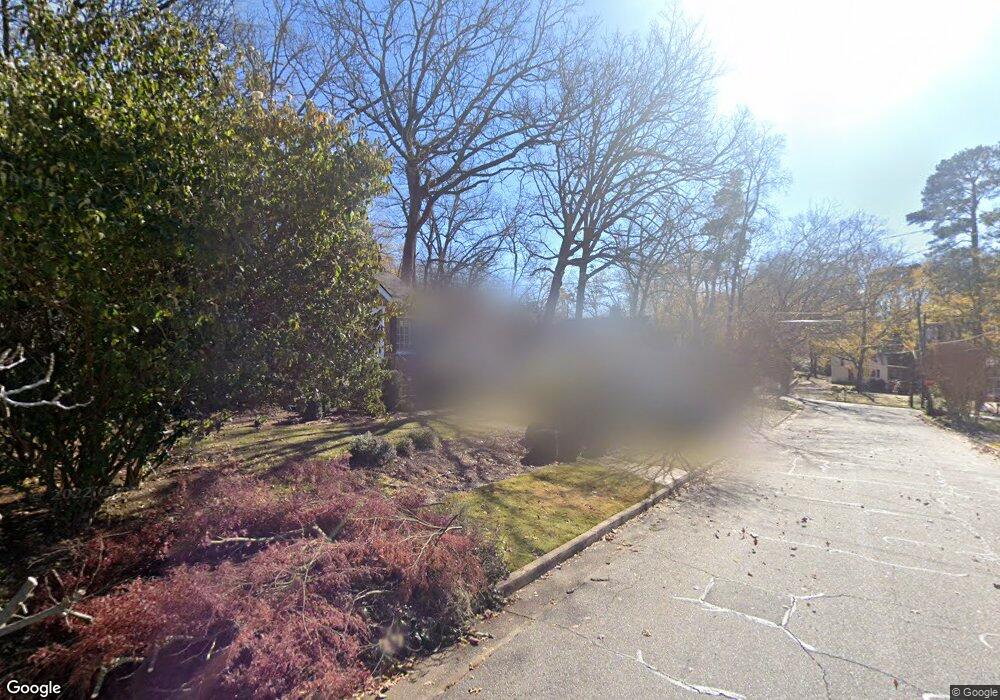
475 Stanton Way Athens, GA 30606
Five Points NeighborhoodEstimated Value: $462,112 - $618,000
2
Beds
2
Baths
1,087
Sq Ft
$510/Sq Ft
Est. Value
About This Home
This home is located at 475 Stanton Way, Athens, GA 30606 and is currently estimated at $554,028, approximately $509 per square foot. 475 Stanton Way is a home located in Clarke County with nearby schools including Barrow Elementary School, Clarke Middle School, and Clarke Central High School.
Ownership History
Date
Name
Owned For
Owner Type
Purchase Details
Closed on
Jul 24, 2006
Sold by
Not Provided
Bought by
Whitehead Susan B
Current Estimated Value
Home Financials for this Owner
Home Financials are based on the most recent Mortgage that was taken out on this home.
Original Mortgage
$193,000
Interest Rate
6.68%
Mortgage Type
New Conventional
Purchase Details
Closed on
Nov 20, 1998
Sold by
Revnes Michael A
Bought by
Stevens Joel Hampton
Create a Home Valuation Report for This Property
The Home Valuation Report is an in-depth analysis detailing your home's value as well as a comparison with similar homes in the area
Home Values in the Area
Average Home Value in this Area
Purchase History
| Date | Buyer | Sale Price | Title Company |
|---|---|---|---|
| Whitehead Susan B | -- | -- | |
| Whitehead Susan B | $198,000 | -- | |
| Stevens Joel Hampton | $128,000 | -- |
Source: Public Records
Mortgage History
| Date | Status | Borrower | Loan Amount |
|---|---|---|---|
| Closed | Whitehead Susan B | $193,000 |
Source: Public Records
Tax History Compared to Growth
Tax History
| Year | Tax Paid | Tax Assessment Tax Assessment Total Assessment is a certain percentage of the fair market value that is determined by local assessors to be the total taxable value of land and additions on the property. | Land | Improvement |
|---|---|---|---|---|
| 2025 | $3,434 | $183,805 | $72,000 | $111,805 |
| 2024 | $3,434 | $172,695 | $66,600 | $106,095 |
| 2023 | $3,464 | $158,555 | $66,600 | $91,955 |
| 2022 | $3,253 | $134,238 | $63,000 | $71,238 |
| 2021 | $3,269 | $122,408 | $63,000 | $59,408 |
| 2020 | $3,203 | $117,630 | $63,000 | $54,630 |
| 2019 | $3,182 | $114,126 | $63,000 | $51,126 |
| 2018 | $3,039 | $103,932 | $63,000 | $40,932 |
| 2017 | $2,984 | $99,951 | $63,000 | $36,951 |
| 2016 | $2,935 | $96,446 | $63,000 | $33,446 |
| 2015 | $2,579 | $85,854 | $54,000 | $31,854 |
| 2014 | $2,493 | $83,182 | $48,600 | $34,582 |
Source: Public Records
Map
Nearby Homes
- 495 Woodlawn Ave
- 577 W Cloverhurst Ave
- 997 S Milledge Ave Unit 2
- 997 S Milledge Ave Unit 3
- 997 S Milledge Ave Unit 1
- 997 S Milledge Ave Unit 4
- 490 Mcwhorter Dr
- 265 Springdale St
- 338 Springdale St
- 590 Highland Ave
- 1055 Baxter St Unit 504
- 169 Fortson Cir
- 206 Fortson Dr
- 224 Fortson Dr
- 255 Bloomfield St
- 50 Springdale St
- 275 Westview Dr
- 221 University Dr
- 2019 S Lumpkin St
- 294 Oakland Ave
- 298 Oakland Ave
- 299 Woodlawn Ave
- 297 Woodlawn Ave
- 290 Oakland Ave
- 287 Woodlawn Ave
- 470 Stanton Way
- 450 Stanton Way
- 277 Woodlawn Ave
- 430 Stanton Way
- 284 Oakland Ave
- 297 Cherokee Ave
- 412 Stanton Way
- 267 Woodlawn Ave
- 0 Woodlawn Ave Unit 7105553
- 0 Woodlawn Ave
- 465 Woodlawn Ave
- 274 Oakland Ave
- 290 Cherokee Ave
- 140 Oakland Way