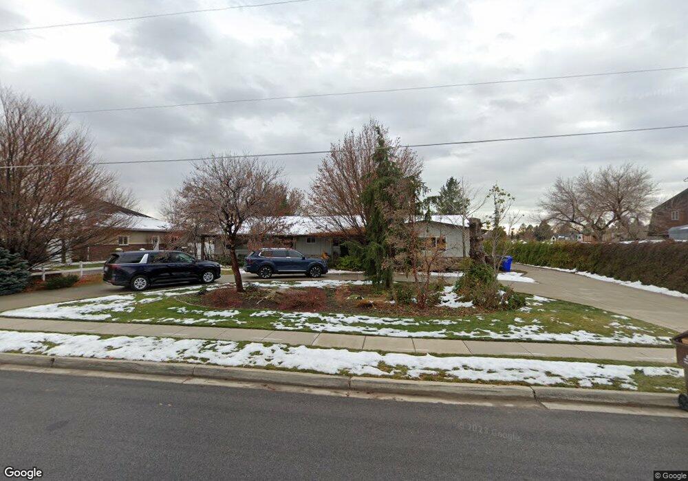
475 W 800 S Alpine, UT 84004
Estimated Value: $913,000 - $1,246,817
3
Beds
3
Baths
2,586
Sq Ft
$415/Sq Ft
Est. Value
About This Home
This home is located at 475 W 800 S, Alpine, UT 84004 and is currently estimated at $1,073,954, approximately $415 per square foot. 475 W 800 S is a home located in Utah County with nearby schools including Westfield School, Timberline Middle School, and Lone Peak High School.
Ownership History
Date
Name
Owned For
Owner Type
Purchase Details
Closed on
Oct 30, 2025
Sold by
Stenquist Shellie
Bought by
Shellie Stenquist Trust and Stenquist
Current Estimated Value
Purchase Details
Closed on
Dec 27, 2006
Sold by
Flinders Tracy W and Flinders Alyssa R
Bought by
Lone Peak Development Partners Llc
Home Financials for this Owner
Home Financials are based on the most recent Mortgage that was taken out on this home.
Original Mortgage
$249,999
Interest Rate
6.22%
Mortgage Type
Unknown
Purchase Details
Closed on
Jan 2, 1998
Sold by
Miller Thomas S
Bought by
Ashton Gary L
Home Financials for this Owner
Home Financials are based on the most recent Mortgage that was taken out on this home.
Original Mortgage
$114,665
Interest Rate
7.16%
Create a Home Valuation Report for This Property
The Home Valuation Report is an in-depth analysis detailing your home's value as well as a comparison with similar homes in the area
Home Values in the Area
Average Home Value in this Area
Purchase History
| Date | Buyer | Sale Price | Title Company |
|---|---|---|---|
| Shellie Stenquist Trust | -- | None Listed On Document | |
| Lone Peak Development Partners Llc | -- | Backman | |
| Ashton Gary L | -- | Associate Title Co |
Source: Public Records
Mortgage History
| Date | Status | Borrower | Loan Amount |
|---|---|---|---|
| Previous Owner | Lone Peak Development Partners Llc | $249,999 | |
| Previous Owner | Ashton Gary L | $114,665 |
Source: Public Records
Tax History Compared to Growth
Tax History
| Year | Tax Paid | Tax Assessment Tax Assessment Total Assessment is a certain percentage of the fair market value that is determined by local assessors to be the total taxable value of land and additions on the property. | Land | Improvement |
|---|---|---|---|---|
| 2025 | $4,037 | $476,440 | $486,900 | $368,800 |
| 2024 | $4,037 | $470,505 | $0 | $0 |
| 2023 | $3,815 | $477,380 | $0 | $0 |
| 2022 | $4,040 | $883,100 | $441,800 | $441,300 |
| 2021 | $3,308 | $618,700 | $259,900 | $358,800 |
| 2020 | $3,100 | $567,700 | $226,000 | $341,700 |
| 2019 | $2,919 | $558,000 | $226,000 | $332,000 |
| 2018 | $2,622 | $494,700 | $206,000 | $288,700 |
| 2017 | $2,387 | $242,050 | $0 | $0 |
| 2016 | $2,101 | $198,610 | $0 | $0 |
| 2015 | $1,991 | $178,095 | $0 | $0 |
| 2014 | $1,840 | $162,825 | $0 | $0 |
Source: Public Records
Map
Nearby Homes
- 5377 W Evergreen Way
- 868 S Braddock Ln
- 5984 W 11200 N Unit 1
- 5983 W 11270 N Unit 4
- 5976 W 11270 N Unit 5
- 88 W Cascade Ave
- 5798 W 11350 N
- 259 Twin River Loop
- 177 W Canyon Crest Rd
- 250 S Main St Unit 7
- 250 S Main St Unit 20
- 250 S Main St Unit 25
- 5159 W 11000 N
- 5077 W 11000 N
- 10925 N Marsala Dr
- 5538 W Turin Ln
- 10905 N Vercelli Dr
- 629 S Pheasant Ridge Cir
- 5538 W Naples Dr Unit 125
- 11886 Harvest Moon Ln