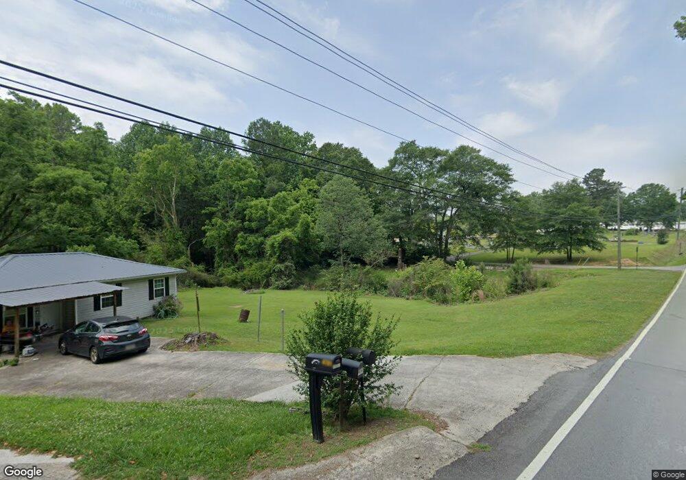
4751 Cantrell Rd Flowery Branch, GA 30542
Estimated Value: $319,000 - $426,000
3
Beds
2
Baths
1,604
Sq Ft
$227/Sq Ft
Est. Value
About This Home
This home is located at 4751 Cantrell Rd, Flowery Branch, GA 30542 and is currently estimated at $363,378, approximately $226 per square foot. 4751 Cantrell Rd is a home located in Hall County with nearby schools including Flowery Branch Elementary School, West Hall Middle School, and West Hall High School.
Ownership History
Date
Name
Owned For
Owner Type
Purchase Details
Closed on
Oct 17, 2024
Sold by
Stringer Charlie Melvin
Bought by
Stringer Charlie
Current Estimated Value
Home Financials for this Owner
Home Financials are based on the most recent Mortgage that was taken out on this home.
Original Mortgage
$240,000
Outstanding Balance
$233,112
Interest Rate
6.09%
Mortgage Type
FHA
Estimated Equity
$130,266
Create a Home Valuation Report for This Property
The Home Valuation Report is an in-depth analysis detailing your home's value as well as a comparison with similar homes in the area
Home Values in the Area
Average Home Value in this Area
Purchase History
| Date | Buyer | Sale Price | Title Company |
|---|---|---|---|
| Stringer Charlie | $150,000 | -- |
Source: Public Records
Mortgage History
| Date | Status | Borrower | Loan Amount |
|---|---|---|---|
| Open | Stringer Charlie | $240,000 |
Source: Public Records
Tax History Compared to Growth
Tax History
| Year | Tax Paid | Tax Assessment Tax Assessment Total Assessment is a certain percentage of the fair market value that is determined by local assessors to be the total taxable value of land and additions on the property. | Land | Improvement |
|---|---|---|---|---|
| 2025 | $1,443 | $146,880 | $29,320 | $117,560 |
| 2024 | $1,564 | $134,920 | $23,160 | $111,760 |
| 2023 | $931 | $128,120 | $22,720 | $105,400 |
| 2022 | $3,655 | $114,400 | $29,240 | $85,160 |
| 2021 | $2,632 | $82,360 | $13,960 | $68,400 |
| 2020 | $765 | $79,480 | $13,960 | $65,520 |
| 2019 | $661 | $67,400 | $10,560 | $56,840 |
| 2018 | $1,631 | $59,080 | $12,680 | $46,400 |
| 2017 | $1,403 | $49,920 | $12,680 | $37,240 |
| 2016 | $1,095 | $40,280 | $8,120 | $32,160 |
| 2015 | $1,328 | $48,066 | $7,120 | $40,946 |
| 2014 | $1,328 | $48,066 | $7,120 | $40,946 |
Source: Public Records
Map
Nearby Homes
- 4836 Clarkstone Cir
- 5404 Falling Branch Ct
- 4905 Vireo Dr
- 5439 Aurora Trail
- 7215 Sherwood Square Dr
- 7215 Sherwood Square Dr Unit LOT 219
- 5439 Aurora Trail Unit LOT 68
- 5420 Aurora Trail
- 5420 Aurora Trail Unit LOT 73
- 5419 Aurora Trail
- 5639 Parkview Ln
- 5566 Spring St
- 5550 Spring St
- 5554 Spring St
- 5655 Parkview Ln
- 5583 Spring St
- 5587 Spring St
- 5579 Spring St
- 5967 Screech Owl Dr
- 5357 Frontier Ct
- 4737 Cantrell Rd
- 4745 Cantrell Rd
- 4739 Cantrell Rd
- 4733 Cantrell Rd
- 4731 Cantrell Rd
- 4749 Cantrell Rd
- 4729 Cantrell Rd
- 4847 Clarkstone Dr
- 4843 Clarkstone Dr
- 4839 Clarkstone Dr
- 4727 Cantrell Rd
- 4851 Clarkstone Dr
- 4851 Clarkstone Dr
- 4835 Clarkstone Dr
- 4755 Cantrell Rd
- 4831 Clarkstone Dr
- 4855 Clarkstone Dr
- 4844 Victoria Ct
- 4827 Clarkstone Dr
- 4761 Old Factory Hill Rd