Estimated Value: $78,088 - $161,000
--
Bed
2
Baths
1,728
Sq Ft
$60/Sq Ft
Est. Value
About This Home
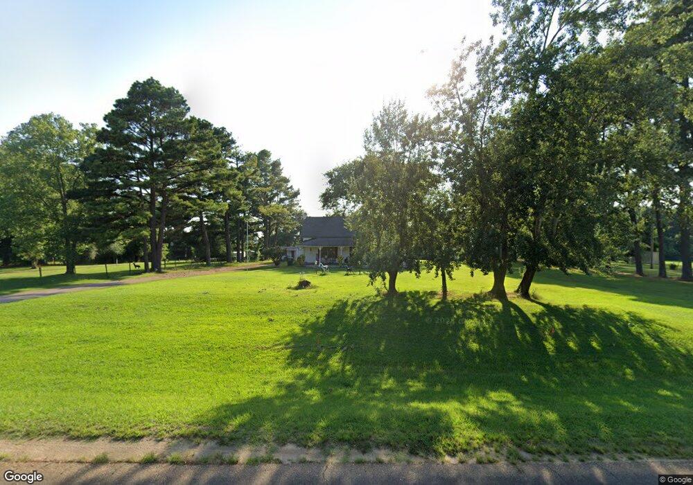
This home is located at 4751 Highway 1 N, Colt, AR 72326 and is currently estimated at $103,272, approximately $59 per square foot. 4751 Highway 1 N is a home located in St. Francis County with nearby schools including Central Elementary School, Stewart Elementary School, and Forrest City Junior High School.
Ownership History
Date
Name
Owned For
Owner Type
Purchase Details
Closed on
Dec 22, 2009
Sold by
Baldwin Carl F and Baldwin Teresa L
Bought by
Habbard Melvin
Current Estimated Value
Home Financials for this Owner
Home Financials are based on the most recent Mortgage that was taken out on this home.
Original Mortgage
$35,200
Interest Rate
5.01%
Mortgage Type
New Conventional
Purchase Details
Closed on
Apr 1, 1987
Bought by
Baldwin
Create a Home Valuation Report for This Property
The Home Valuation Report is an in-depth analysis detailing your home's value as well as a comparison with similar homes in the area
Home Values in the Area
Average Home Value in this Area
Purchase History
| Date | Buyer | Sale Price | Title Company |
|---|---|---|---|
| Habbard Melvin | $44,000 | Cowling Title Company | |
| Hubbard Melvin | $44,000 | None Available | |
| Baldwin | $20,000 | -- |
Source: Public Records
Mortgage History
| Date | Status | Borrower | Loan Amount |
|---|---|---|---|
| Closed | Hubbard Melvin | $35,200 |
Source: Public Records
Tax History Compared to Growth
Tax History
| Year | Tax Paid | Tax Assessment Tax Assessment Total Assessment is a certain percentage of the fair market value that is determined by local assessors to be the total taxable value of land and additions on the property. | Land | Improvement |
|---|---|---|---|---|
| 2024 | $405 | $13,660 | $2,400 | $11,260 |
| 2023 | $395 | $13,660 | $2,400 | $11,260 |
| 2022 | $20 | $13,660 | $2,400 | $11,260 |
| 2021 | $9 | $12,730 | $2,400 | $10,330 |
| 2020 | $9 | $12,730 | $2,400 | $10,330 |
| 2019 | $18 | $12,730 | $2,400 | $10,330 |
| 2018 | $43 | $12,730 | $2,400 | $10,330 |
| 2017 | $393 | $12,730 | $2,400 | $10,330 |
| 2016 | $391 | $8,950 | $1,400 | $7,550 |
| 2015 | $391 | $8,950 | $1,400 | $7,550 |
| 2014 | $391 | $8,950 | $1,400 | $7,550 |
Source: Public Records
Map
Nearby Homes
- 211 Woods Rd
- 0 Good Hope Rd
- 192 Sfc 322
- 533 Sfc 311
- 0 N Washington St
- 4.59 Acres N Washington St
- 0 Sfc 355
- 30+\- Acres Sfc 328
- 802 Sfc 328
- 481 Sfc 333
- 136 Sfc 224
- 423 Laughrun Dr
- 424 Beech Grove Dr
- 717 Laughrun Dr
- 308 Trenton Rd
- 220 Lexington Dr
- 361 Yorktown Dr
- 1255 Chestnut St
- 917 Calvert Cove
- 319 Mississippi St
- 100 St Francis 739 Rd
- 106 St Francis 739 Rd
- 4713 Highway 1 N
- 4744 Highway 1 N
- 4720 Highway 1 N
- 4845 Crowleys Ridge Pkwy S
- 4845 Arkansas 1
- 129 Davidson Park Rd
- 4885 Ar 1 Hwy N
- 122 Airport Rd
- 119 Evans Rd
- 114 Wood
- 0 Na Unit 19017225
- 126 Wood
- 202 Meeks Rd
- 210 Woodard St
- 211 Woodard St
- 87 Highway 261
- 100 Brown St
- 5112 Highway 1 S