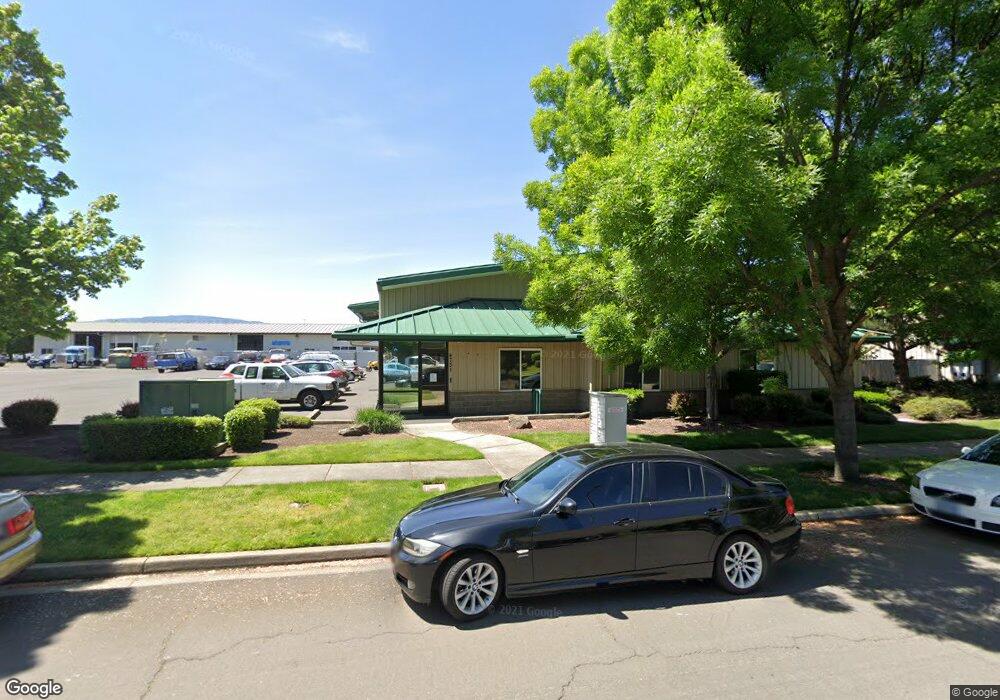
4751 Industry Dr Central Point, OR 97502
Estimated Value: $1,019,154
Studio
--
Bath
6,876
Sq Ft
$148/Sq Ft
Est. Value
About This Home
This home is located at 4751 Industry Dr, Central Point, OR 97502 and is currently estimated at $1,019,154, approximately $148 per square foot. 4751 Industry Dr is a home located in Jackson County with nearby schools including Wilson Elementary School, Hedrick Middle School, and North Medford High School.
Ownership History
Date
Name
Owned For
Owner Type
Purchase Details
Closed on
Aug 8, 2012
Sold by
Vanderhoff Gary M and Vanderhoff Beth
Bought by
Eleet Ventures Llc
Current Estimated Value
Home Financials for this Owner
Home Financials are based on the most recent Mortgage that was taken out on this home.
Original Mortgage
$316,000
Outstanding Balance
$44,142
Interest Rate
3.62%
Mortgage Type
Commercial
Estimated Equity
$975,012
Purchase Details
Closed on
Dec 23, 2002
Sold by
May James L and May Geneva
Bought by
Vanderhoff Gary M and Vanderhoff Beth
Home Financials for this Owner
Home Financials are based on the most recent Mortgage that was taken out on this home.
Original Mortgage
$300,000
Interest Rate
6.03%
Mortgage Type
Commercial
Create a Home Valuation Report for This Property
The Home Valuation Report is an in-depth analysis detailing your home's value as well as a comparison with similar homes in the area
Purchase History
| Date | Buyer | Sale Price | Title Company |
|---|---|---|---|
| Eleet Ventures Llc | $395,000 | Amerititle | |
| Vanderhoff Gary M | $400,000 | Lawyers Title Ins Corp |
Source: Public Records
Mortgage History
| Date | Status | Borrower | Loan Amount |
|---|---|---|---|
| Open | Eleet Ventures Llc | $316,000 | |
| Previous Owner | Vanderhoff Gary M | $300,000 |
Source: Public Records
Tax History
| Year | Tax Paid | Tax Assessment Tax Assessment Total Assessment is a certain percentage of the fair market value that is determined by local assessors to be the total taxable value of land and additions on the property. | Land | Improvement |
|---|---|---|---|---|
| 2026 | -- | -- | -- | -- |
| 2025 | -- | -- | -- | -- |
| 2024 | -- | -- | -- | -- |
| 2023 | $7,703 | $516,470 | $135,150 | $381,320 |
| 2022 | $7,515 | $516,470 | $135,150 | $381,320 |
| 2021 | $7,321 | $501,430 | $131,210 | $370,220 |
| 2020 | $7,166 | $486,830 | $127,390 | $359,440 |
| 2019 | $6,996 | $458,900 | $120,080 | $338,820 |
| 2018 | $6,817 | $445,540 | $116,580 | $328,960 |
| 2017 | $6,694 | $445,540 | $116,580 | $328,960 |
| 2016 | $6,738 | $419,980 | $109,880 | $310,100 |
| 2015 | $6,477 | $419,980 | $109,880 | $310,100 |
| 2014 | $6,362 | $395,880 | $103,570 | $292,310 |
Source: Public Records
Map
Nearby Homes
- 4824 Airway Dr Unit 371W06BB410
- 1151 Helicopter Way
- 1141 Helicopter Way
- 1250 Vilas Rd
- 5011 Highway 62
- 4692 Crater Lake Ave Unit 600
- 1816 E Vilas Rd
- 4595 Table Rock Rd
- 4399 Table Rock Rd
- 4404 Biddle Rd
- 4251 Table Rock Rd
- 4105 Table Rock Rd
- 201 Orchardview Cir
- 875 N Mountain Ave
- 0 Commerce Dr Unit 100
- 4121 Table Rock Rd
- 4601 Biddle Rd Unit C
- 225 Wilson Rd
- 2460 Jeremy St
- 0 Crater Lake Ave Unit 11.27 220200854
- 4771 Industry Dr
- 4676 Industry Dr
- 4750 Industry Dr
- 4730 Industry Dr
- 4770 Industry Dr
- 4730 Industry Dr
- 4803 Industry Dr
- 862 Enterprise Dr
- 820 E Vilas Rd
- 822 Enterprise Dr Unit 101
- 822 Enterprise Dr Unit 103
- 822 Enterprise Dr
- 4702 Industry Dr
- 4702 Industry Dr
- 4901 Industry Dr
- 4901 Industry Dr
- 4900 Industry Dr
- 4941 Industry Dr
- 802 Enterprise Dr
- 4921 Industry Dr
Your Personal Tour Guide
Ask me questions while you tour the home.