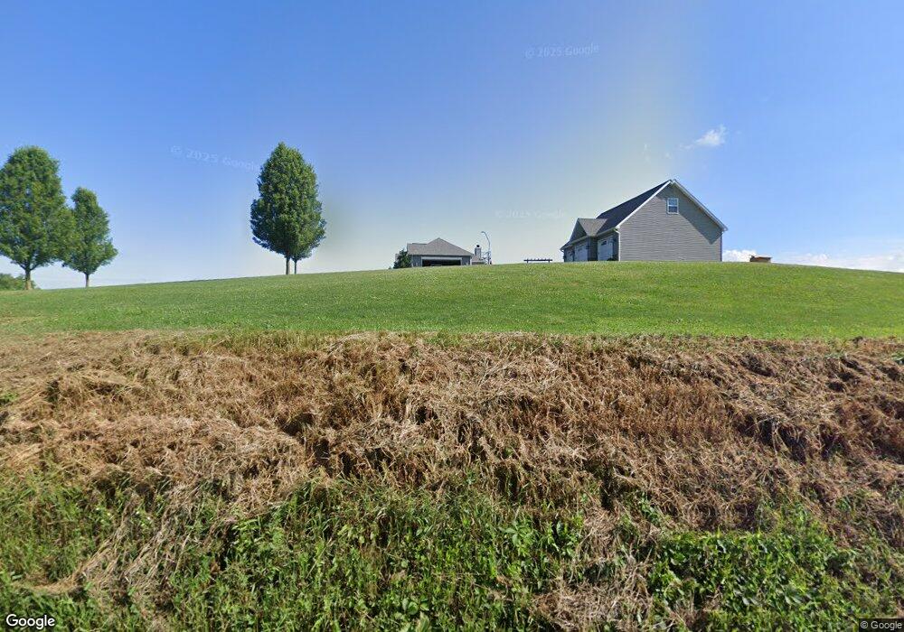
4751 Wampum Mount Air Rd New Galilee, PA 16141
Estimated Value: $223,000 - $409,808
3
Beds
2
Baths
2,048
Sq Ft
$149/Sq Ft
Est. Value
About This Home
This home is located at 4751 Wampum Mount Air Rd, New Galilee, PA 16141 and is currently estimated at $304,702, approximately $148 per square foot. 4751 Wampum Mount Air Rd is a home with nearby schools including Mohawk Elementary School and Mohawk Senior High School.
Ownership History
Date
Name
Owned For
Owner Type
Purchase Details
Closed on
Aug 12, 2011
Sold by
Bessell Travis W and Bessell Courtney J
Bought by
Bessell Travis W and Bessell Courtney J
Current Estimated Value
Home Financials for this Owner
Home Financials are based on the most recent Mortgage that was taken out on this home.
Original Mortgage
$168,100
Interest Rate
4.62%
Mortgage Type
New Conventional
Purchase Details
Closed on
Jun 9, 2010
Sold by
Bessell Mary Ellen and Bessell Douglas E
Bought by
Bessell Travis W
Create a Home Valuation Report for This Property
The Home Valuation Report is an in-depth analysis detailing your home's value as well as a comparison with similar homes in the area
Home Values in the Area
Average Home Value in this Area
Purchase History
| Date | Buyer | Sale Price | Title Company |
|---|---|---|---|
| Bessell Travis W | -- | None Available | |
| Bessell Travis W | -- | None Available |
Source: Public Records
Mortgage History
| Date | Status | Borrower | Loan Amount |
|---|---|---|---|
| Closed | Bessell Travis W | $168,100 |
Source: Public Records
Tax History Compared to Growth
Tax History
| Year | Tax Paid | Tax Assessment Tax Assessment Total Assessment is a certain percentage of the fair market value that is determined by local assessors to be the total taxable value of land and additions on the property. | Land | Improvement |
|---|---|---|---|---|
| 2025 | $4,773 | $193,400 | $37,400 | $156,000 |
| 2024 | $4,773 | $193,400 | $37,400 | $156,000 |
| 2023 | $4,773 | $193,400 | $37,400 | $156,000 |
| 2022 | $4,773 | $193,400 | $37,400 | $156,000 |
| 2021 | $4,773 | $193,400 | $37,400 | $156,000 |
| 2020 | $4,973 | $201,500 | $37,400 | $164,100 |
| 2019 | $4,549 | $192,100 | $37,400 | $154,700 |
| 2018 | $4,549 | $192,100 | $37,400 | $154,700 |
| 2017 | $4,396 | $192,100 | $37,400 | $154,700 |
| 2016 | $198 | $192,100 | $37,400 | $154,700 |
| 2015 | $198 | $192,100 | $37,400 | $154,700 |
| 2014 | $198 | $192,100 | $37,400 | $154,700 |
Source: Public Records
Map
Nearby Homes
- 1264 Galilee Rd
- 000
- 257 Halltown Rd
- 422 Beaver St
- 362 Main St
- 694 John F. Kennedy St
- 00 Haggerty Rd
- 1051 10th St
- 1096 10th St
- 1862 Shenango Rd
- 1852 Shenango Rd
- 000 Shenango Rd
- 496 Fairlane Blvd
- 462 Fairlane Blvd
- 201 Sherwood Dr
- 7641 Big Beaver Blvd
- 893 Fairlane Blvd
- 225 Sherwood Dr
- 900 Washington Ave Unit 205
- 605 Centennial Ave
- 4736 Wampum Mount Air Rd
- 4813 Wampum Mount Air Rd
- 4579 Wampum Mount Air Rd
- 4997 Wampum Mount Air Rd
- 4497 Wampum Mount Air Rd
- 5075 Wampum Mount Air Rd
- 887 State Route 168
- 843 State Route 168
- 581 Glenkirk Rd
- 834 Patterson Rd
- 613 Glenkirk Rd
- 489 Glenkirk Rd
- 489 Glen Kirk Rd
- 807 State Route 168
- 1038 State Route 168
- 578 Glenkirk Rd
- 562 Glenkirk Rd
- 562 Glenkirk Rd
- 508 Glenkirk Rd
- 863 Patterson Rd
