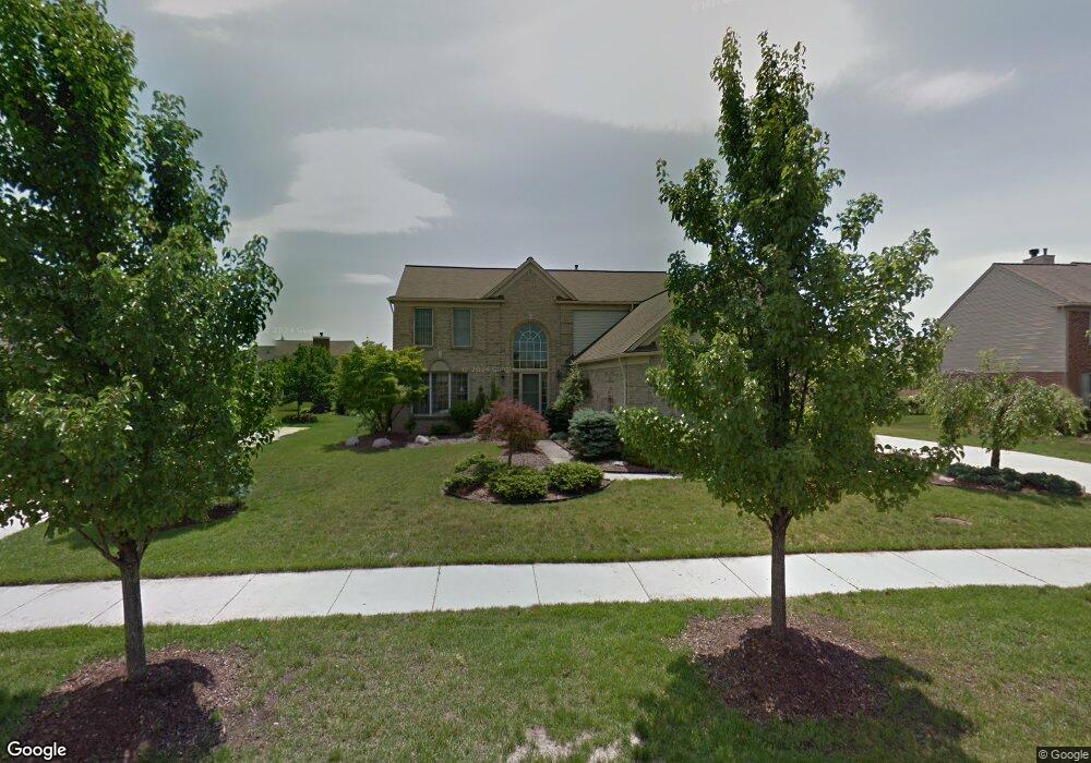
47513 Glengarry Blvd Canton, MI 48188
Estimated Value: $564,385 - $685,000
Studio
3
Baths
2,655
Sq Ft
$238/Sq Ft
Est. Value
About This Home
This home is located at 47513 Glengarry Blvd, Canton, MI 48188 and is currently estimated at $632,596, approximately $238 per square foot. 47513 Glengarry Blvd is a home located in Wayne County with nearby schools including Canton High School, Plymouth High School, and Salem High School.
Ownership History
Date
Name
Owned For
Owner Type
Purchase Details
Closed on
Mar 12, 2020
Sold by
Cislo Gerald J
Bought by
Cislo Gerald J
Current Estimated Value
Create a Home Valuation Report for This Property
The Home Valuation Report is an in-depth analysis detailing your home's value as well as a comparison with similar homes in the area
Home Values in the Area
Average Home Value in this Area
Purchase History
| Date | Buyer | Sale Price | Title Company |
|---|---|---|---|
| Cislo Gerald J | -- | None Available |
Source: Public Records
Tax History
| Year | Tax Paid | Tax Assessment Tax Assessment Total Assessment is a certain percentage of the fair market value that is determined by local assessors to be the total taxable value of land and additions on the property. | Land | Improvement |
|---|---|---|---|---|
| 2025 | $3,231 | $283,000 | $0 | $0 |
| 2024 | $3,139 | $256,400 | $0 | $0 |
| 2023 | $2,992 | $221,400 | $0 | $0 |
| 2022 | $6,485 | $202,100 | $0 | $0 |
| 2021 | $6,291 | $195,200 | $0 | $0 |
| 2020 | $6,214 | $192,100 | $0 | $0 |
| 2019 | $6,099 | $172,040 | $0 | $0 |
| 2018 | $2,543 | $169,180 | $0 | $0 |
| 2017 | $6,257 | $157,400 | $0 | $0 |
| 2016 | $5,594 | $162,000 | $0 | $0 |
| 2015 | $13,974 | $154,230 | $0 | $0 |
| 2013 | $13,537 | $144,730 | $0 | $0 |
| 2010 | -- | $128,000 | $66,043 | $61,957 |
Source: Public Records
Map
Nearby Homes
- 464 Waterview Ct
- 48318 Manhattan Cir
- 379 Springfield Dr
- 48030 Cherry Hill Rd
- 137 Village Way
- 2832 Wakefield Dr
- 8517 N Beck Rd
- 2859 Doncaster Dr
- 47450 Ellery Ln
- 0000 Denton Rd
- 00000 Denton Rd
- 1752 Thistle Dr
- 2759 Calloway Ct
- 985 Truman Dr
- 1849 Wentworth Ct
- 897 Harrison St
- 48893 Fifth Ave
- 46501 Killarney Cir
- 3115 River Meadow Cir Unit 126
- 3410 Niagara Ave
- 47497 Glengarry Blvd
- 47529 Glengarry Blvd
- 47514 Ashford Dr S
- 47530 Ashford Dr S
- 47498 Ashford Dr S
- 526 Delaford Ct
- 47561 Glengarry Blvd
- 540 Delaford Dr
- 47528 Glengarry Blvd
- 47546 Ashford Dr S
- 556 Delaford Dr
- 572 Delaford Dr
- 47593 Glengarry Blvd
- 47562 Ashford Dr S
- 47592 Glengarry Blvd
- 508 Delaford Ct
- 525 Delaford Ct
- 47532 Putney Ct
- 47531 Ashford Dr S
- 47594 Ashford Dr S
Your Personal Tour Guide
Ask me questions while you tour the home.