4752 Dun Robin Dr NE Unit 19 Belmont, MI 49306
Estimated Value: $722,800 - $842,000
3
Beds
3
Baths
1
Sq Ft
$782,700/Sq Ft
Est. Value
About This Home
This home is located at 4752 Dun Robin Dr NE Unit 19, Belmont, MI 49306 and is currently estimated at $782,700, approximately $782,700 per square foot. 4752 Dun Robin Dr NE Unit 19 is a home located in Kent County with nearby schools including Cannonsburg Elementary School, East Rockford Middle School, and Rockford High School Freshman Center.
Ownership History
Date
Name
Owned For
Owner Type
Purchase Details
Closed on
Oct 8, 2021
Sold by
Waleskowski Peter M
Bought by
Waleskowski Peter M and Livi Christine
Current Estimated Value
Purchase Details
Closed on
Mar 29, 2013
Sold by
Kenaga Family Protection Trust
Bought by
Waleskowski Peter and Waleskowski Christine
Purchase Details
Closed on
May 7, 2010
Sold by
Kenaga Raymond K and Kenaga Louise W
Bought by
Kenaga Raymond K and Kenaga Louise W
Purchase Details
Closed on
Mar 24, 2005
Sold by
Stewart Michael M and Stewart Kathe
Bought by
Kenaga Raymond K and Kenaga Louise W
Create a Home Valuation Report for This Property
The Home Valuation Report is an in-depth analysis detailing your home's value as well as a comparison with similar homes in the area
Home Values in the Area
Average Home Value in this Area
Purchase History
| Date | Buyer | Sale Price | Title Company |
|---|---|---|---|
| Waleskowski Peter M | -- | None Listed On Document | |
| Waleskowski Peter | $405,000 | Chicago Title | |
| Kenaga Raymond K | -- | None Available | |
| Kenaga Raymond K | $387,000 | Metropolitan Title Company |
Source: Public Records
Tax History Compared to Growth
Tax History
| Year | Tax Paid | Tax Assessment Tax Assessment Total Assessment is a certain percentage of the fair market value that is determined by local assessors to be the total taxable value of land and additions on the property. | Land | Improvement |
|---|---|---|---|---|
| 2025 | $5,047 | $321,800 | $0 | $0 |
| 2024 | $5,047 | $307,900 | $0 | $0 |
| 2023 | $4,829 | $273,600 | $0 | $0 |
| 2022 | $6,632 | $243,900 | $0 | $0 |
| 2021 | $4,508 | $230,600 | $0 | $0 |
| 2020 | $4,469 | $248,100 | $0 | $0 |
| 2019 | $6,380 | $231,900 | $0 | $0 |
| 2018 | $6,452 | $217,800 | $48,700 | $169,100 |
| 2017 | $6,286 | $218,400 | $0 | $0 |
| 2016 | $6,018 | $208,100 | $0 | $0 |
| 2015 | -- | $208,100 | $0 | $0 |
| 2013 | -- | $177,800 | $0 | $0 |
Source: Public Records
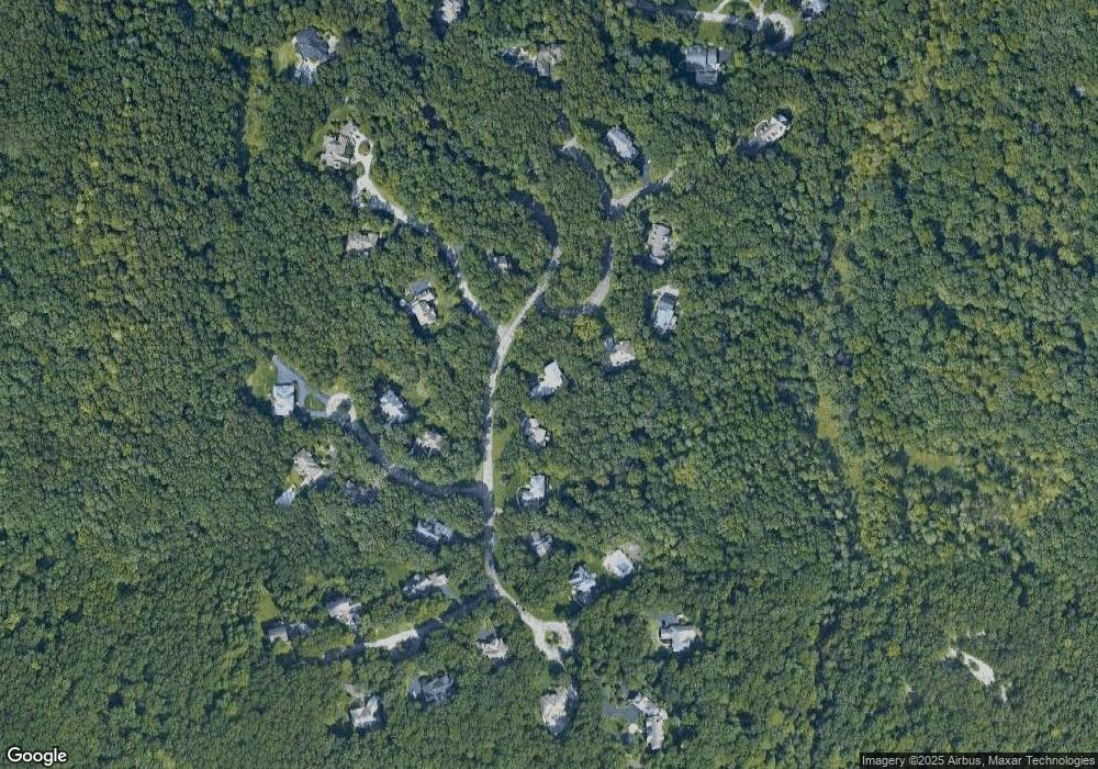
Map
Nearby Homes
- 7122 Hawick Ct NE
- 6654 5 Mile Rd NE
- 6340 Cannon Highlands Dr NE
- 6522 Skyridge Dr NE
- 7884 Cannonsburg Rd NE
- 6360 Cannonsburg Rd NE
- 5375 Egypt Valley Ave NE
- 3940 Egypt Valley Ave NE
- 6150 Cannonsburg Rd NE
- 6249-1 Cannonsburg Rd NE
- 6249-4 Cannonsburg Rd NE
- 5615 Egypt Valley Ave NE
- 5865 Egypt Valley Ave NE
- 6233 Cannonsburg Rd NE
- 5700 Cannonsburg Rd NE
- 5814 Cannon Hills Dr NE Unit 24
- 8655 Cannonsburg Rd NE
- 5951 4 Mile Rd NE
- 8673 Cannonsburg Rd NE
- 4585 Giles Ave NE
- 4728 Dun Robin Dr NE Unit 41
- 7100 Hawick Ct NE
- 4700 Dun Robin Dr NE Unit 42
- 7037 Dunloe Ct NE
- 7025 Baltray Ct NE Unit 22
- 7022 Baltray Ct NE
- 4682 Dun Robin Dr NE Unit 43
- 7023 Dunloe Ct NE Unit 59
- 7148 Hawick Ct NE Unit 16
- 7042 Dunloe Ct NE
- 7165 Hawick Ct NE
- 4670 Dun Robin Dr NE Unit 44
- 7010 Baltray Ct NE Unit 21
- 7030 Dunloe Ct NE
- 7043 Greywall Ct NE Unit 53
- 7154 Hawick Ct NE
- 7005 Dunloe Ct NE
- 7018 Dunloe Ct NE
- 7002 Dunloe Ct NE Unit 57
- 4860 Rosses Point NE