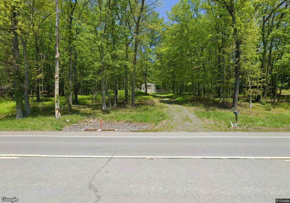
4752 Route 115 Blakeslee, PA 18610
Estimated Value: $162,486
Studio
1
Bath
864
Sq Ft
$188/Sq Ft
Est. Value
About This Home
This home is located at 4752 Route 115, Blakeslee, PA 18610 and is currently estimated at $162,486, approximately $188 per square foot. 4752 Route 115 is a home located in Monroe County with nearby schools including Tobyhanna Elementary Center, Clear Run Intermediate School, and Pocono Mountain West Junior High School.
Ownership History
Date
Name
Owned For
Owner Type
Purchase Details
Closed on
Sep 23, 2020
Sold by
Neith Rosemarie M and Meixell Williams Rosemarie
Bought by
Weir Charles
Current Estimated Value
Purchase Details
Closed on
Jan 5, 2017
Sold by
Neith Rosemarie M
Bought by
Commonwealth Of Pennsylvania Department
Purchase Details
Closed on
Oct 13, 1989
Bought by
Neith Thomas N and Neith Rosemarie M
Create a Home Valuation Report for This Property
The Home Valuation Report is an in-depth analysis detailing your home's value as well as a comparison with similar homes in the area
Home Values in the Area
Average Home Value in this Area
Purchase History
| Date | Buyer | Sale Price | Title Company |
|---|---|---|---|
| Weir Charles | $99,500 | Laurel Abstract Company | |
| Commonwealth Of Pennsylvania Department | -- | None Available | |
| Neith Thomas N | -- | -- |
Source: Public Records
Tax History
| Year | Tax Paid | Tax Assessment Tax Assessment Total Assessment is a certain percentage of the fair market value that is determined by local assessors to be the total taxable value of land and additions on the property. | Land | Improvement |
|---|---|---|---|---|
| 2025 | $512 | $68,340 | $40,000 | $28,340 |
| 2024 | $409 | $68,340 | $40,000 | $28,340 |
| 2023 | $1,737 | $68,340 | $40,000 | $28,340 |
| 2022 | $1,707 | $68,340 | $40,000 | $28,340 |
| 2021 | $1,707 | $68,340 | $40,000 | $28,340 |
| 2019 | $1,420 | $8,460 | $2,630 | $5,830 |
| 2018 | $1,420 | $8,460 | $2,630 | $5,830 |
| 2017 | $1,436 | $8,460 | $2,630 | $5,830 |
| 2016 | $283 | $8,460 | $2,630 | $5,830 |
| 2015 | -- | $7,060 | $1,230 | $5,830 |
| 2014 | -- | $1,230 | $1,230 | $0 |
Source: Public Records
Map
Nearby Homes
- 1156 Boulder Rd
- 176 Birch Dr
- Lot 18 Boulder Rd
- 318 Birch Dr
- Lot 52 Blueberry Run
- 0 Schochs Mill Rd Unit PM-130509
- 0 Schochs Mill Rd Unit 754301
- 50 Schochs Mill Rd
- 207 Game Ln
- Lot 45 Elk Dr Lot 45 Dr
- 124 Fern Ridge Rd
- Lot 45 Elk Dr
- 0 Basswood Ct Unit 770950
- 46 Basswood Ct
- KIV1014 Basswood Ct
- 918 KIII Sycamore Cir
- LIII609 Tamarack Terrace
- Lot 930 Tamarack Terrace
- KIII822 Sycamore Cir
- 1004 Sassafras Rd
- 287 Birch Dr
- 283 Birch Dr
- 281 Birch Dr
- 277 Birch Dr
- 23 Fores Hill
- 260 Forest Hill Dr
- 256 Forest Hill Dr
- 284 Birch Dr
- 267 Birch Dr
- 265 Birch Dr
- 261 Forest Hill Dr
- 72 Lane Hill Rd
- 246 Forest Hill Dr
- 299 Birch Dr
- 259 Birch Dr
- 150 Buck Hill Rd
- 300 Birch Dr
- 253 Forest Hill Dr
- 282 Crestview Rd
- 242 Forest Hill Dr
Your Personal Tour Guide
Ask me questions while you tour the home.