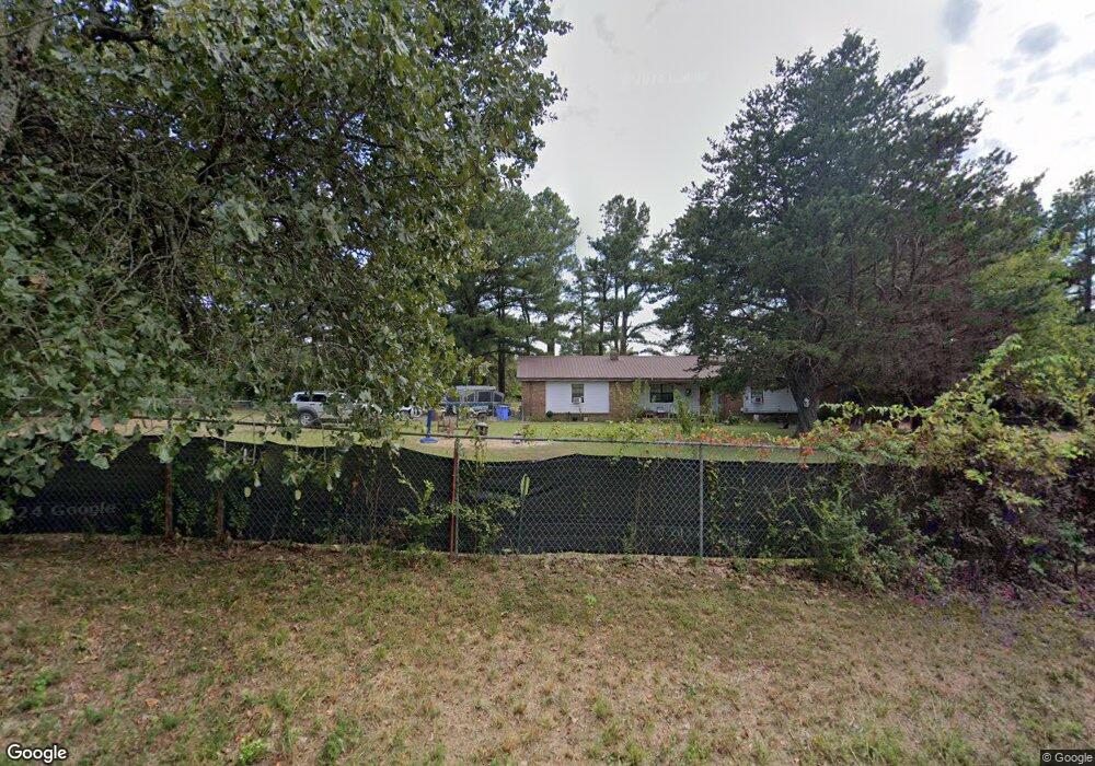
475280 E 1060 Rd Muldrow, OK 74948
Estimated Value: $83,303 - $189,000
1
Bed
1
Bath
624
Sq Ft
$217/Sq Ft
Est. Value
About This Home
This home is located at 475280 E 1060 Rd, Muldrow, OK 74948 and is currently estimated at $135,576, approximately $217 per square foot. 475280 E 1060 Rd is a home with nearby schools including Liberty Public School.
Ownership History
Date
Name
Owned For
Owner Type
Purchase Details
Closed on
Jan 15, 2008
Sold by
Keen Richard
Bought by
Redle Audrey and Zacharewicz Karen
Current Estimated Value
Purchase Details
Closed on
Feb 9, 2006
Sold by
Keen Freda Louise
Bought by
Ballard Brady and Ballard Nikki
Home Financials for this Owner
Home Financials are based on the most recent Mortgage that was taken out on this home.
Original Mortgage
$17,500
Interest Rate
6.18%
Mortgage Type
Stand Alone Second
Create a Home Valuation Report for This Property
The Home Valuation Report is an in-depth analysis detailing your home's value as well as a comparison with similar homes in the area
Purchase History
| Date | Buyer | Sale Price | Title Company |
|---|---|---|---|
| Redle Audrey | -- | None Available | |
| Ballard Brady | $87,500 | None Available |
Source: Public Records
Mortgage History
| Date | Status | Borrower | Loan Amount |
|---|---|---|---|
| Previous Owner | Ballard Brady | $17,500 |
Source: Public Records
Tax History
| Year | Tax Paid | Tax Assessment Tax Assessment Total Assessment is a certain percentage of the fair market value that is determined by local assessors to be the total taxable value of land and additions on the property. | Land | Improvement |
|---|---|---|---|---|
| 2025 | $189 | $3,630 | $1,876 | $1,754 |
| 2024 | $189 | $3,524 | $1,822 | $1,702 |
| 2023 | $181 | $3,422 | $1,822 | $1,600 |
| 2022 | $179 | $3,492 | $2,002 | $1,490 |
| 2021 | $186 | $3,696 | $1,791 | $1,905 |
| 2020 | $178 | $3,483 | $1,684 | $1,799 |
| 2019 | $171 | $3,382 | $1,633 | $1,749 |
| 2018 | $164 | $3,283 | $1,577 | $1,706 |
| 2017 | $157 | $3,188 | $1,507 | $1,681 |
| 2016 | $150 | $3,096 | $1,456 | $1,640 |
| 2015 | $144 | $3,004 | $1,395 | $1,609 |
| 2014 | $138 | $2,918 | $1,355 | $1,563 |
Source: Public Records
Map
Nearby Homes
- 106438 S 4757 Rd
- 106219 S 4757 Rd
- 475531 E 1050 Rd
- TBD Tract 4 E 1070 Rd
- 600 N Paw Rd
- TBD Tbd
- 600 Paw Rd
- lOT 27 Woodland Hills
- 473365 E 1050 Rd
- 108906 S 4765 Rd
- TBD E 1045 Rd
- TBD S 4769 Rd
- 104178 S 4769 Rd
- 103891 Oklahoma 64b
- 108305 S 4765 Rd
- 108714 S 4767 Rd
- 108769 S 4768 Rd
- 476690 E 1086 Rd
- 477053 E 1085 Rd
- 474243 E 1097 Rd
- 475274 E 1060 Rd
- 475218 E 1060 Rd
- 474218 E 1060 Rd
- 475178 E 1060 Rd
- 475378 E 1060 Rd
- 475391 E 1060 Rd
- 475121 E 1060 Rd
- 106187 S 4750 Rd
- 475461 E 1060 Rd
- 475536 E 1060 Rd
- 106191 S 4750 Rd
- 106368 S 4757 Rd
- 475345 E 1057 Rd
- 106363 S 4757 Rd
- 106122 S 4770 Rd
- 106587 S 4750 Rd
- 475274 E 1056 Rd
- 475261 E 1097 Rd
- 106048 S 4757 Rd
- 475736 E 1064 Rd
Your Personal Tour Guide
Ask me questions while you tour the home.